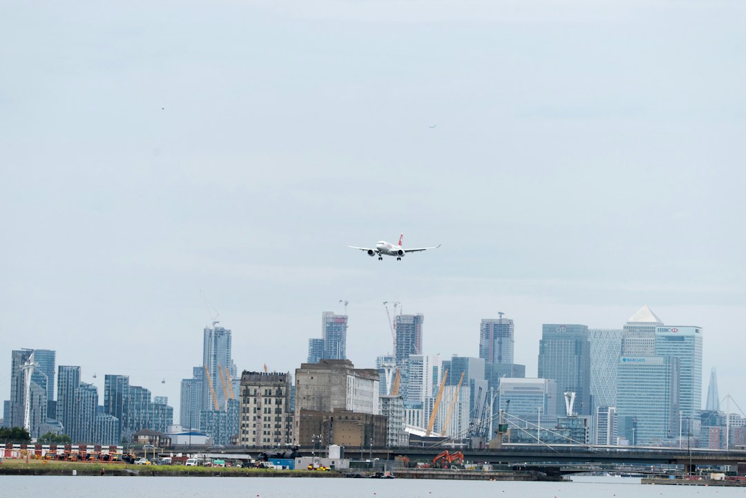
What is Class B airspace?
Class B airspace is the controlled airspace around the busiest airports in the United States, such as Atlanta, Chicago O'Hare, Los Angeles and JFK. It is built in layers: a surface core around the airport and wider shelves with higher floors, usually sharing one ceiling between 7,000 and 12,500 feet MSL. A drone needs prior FAA authorization only where it actually enters Class B, which at 400 feet usually means the surface core.
Class B airspace covers 37 primary airports grouped into 30 areas, according to the current FAA Order JO 7400.11, the document that legally defines every US airspace area. For a drone pilot the rule is the same one that governs Class C and D: 14 CFR 107.41 bans flight in Class B without prior authorization from Air Traffic Control. What makes Class B different is everything around that rule. The rings on the chart are huge, but most of the land inside them is not Class B at 400 feet. The 30-mile Mode C ring is not Class B at all. Some shelves come down almost to the water. And the core grids nearest the runways are often zero. The types of airspace guide covers how all six classes fit together.
What is Class B airspace
Class B airspace is the most tightly controlled airspace that drones commonly encounter, designed to separate airliners from everything else around major hubs. Under 14 CFR 91.131, a manned aircraft needs an explicit ATC clearance to enter. Radio contact alone, which is enough for Class C and D, does not count.
Some areas include more than one primary airport. New York covers JFK, LaGuardia and Newark. The Washington Tri-Area covers Reagan National, Dulles, BWI and Joint Base Andrews. Houston covers both Bush Intercontinental and Hobby, and San Diego pairs Lindbergh Field with MCAS Miramar.
For drone pilots, Class B sits at the top of a ladder that runs down through Class C, Class D and surface Class E. The legal requirement is identical on every rung: authorization before entry. The practical difference is how low the LAANC grids get and how much manned traffic is squeezed into the airspace around them.
Class B airspace dimensions and ceilings
Class B airspace has no standard dimensions. The usual description is an "upside-down wedding cake": a surface core around the primary airport, then two or more shelves stepping outward with progressively higher floors. Most shelves share the same ceiling as the core.
The ceiling is where textbook numbers break down. Pulling the ceilings for all 30 areas out of JO 7400.11M (effective September 15, 2026) gives this spread:
| Ceiling (MSL) | Class B areas |
|---|---|
| 7,000 ft | New York, Philadelphia, Boston, Miami, New Orleans |
| 8,000 ft | Kansas City, St. Louis, Pittsburgh, Cleveland |
| 9,000 ft | Phoenix, Honolulu |
| 10,000 ft | Washington Tri-Area, Chicago, Detroit, Minneapolis, Orlando, Tampa, Covington (Cincinnati), Charlotte, Memphis, Houston, Los Angeles, San Diego, San Francisco, Las Vegas, Seattle (main area) |
| 11,000 ft | Dallas/Fort Worth |
| 12,000 to 12,500 ft | Denver, Salt Lake City (12,000); Atlanta (12,500) |
What matters at 400 feet is the floor of the segment over your site, not the ceiling.
The lateral picture is just as varied. Tampa's core is built on a 5-mile radius around a point near the airport. The Washington core is four 7-mile circles, one centered near each primary airport. Las Vegas runs its surface area out to 25 miles to the northeast. Many boundaries follow shorelines, highways and railroads rather than arcs, because those are what pilots can see from the air.
On VFR sectional and Terminal Area Charts, Class B is drawn in solid blue lines. Each segment carries a ceiling-over-floor label in hundreds of feet MSL: "100/SFC" means surface to 10,000 feet, and "100/30" means 3,000 to 10,000 feet. The aviation maps guide explains how to pull the right chart.
Where a drone actually enters Class B
A drone at or below 400 feet AGL enters Class B airspace almost only in the surface core. Most shelf floors sit well over 400 feet above the ground beneath them, so the airspace a drone flies in under a shelf is usually some other class. Floors are published in MSL, though, so the margin depends on the terrain.
The check is simple subtraction: shelf floor (MSL) minus ground elevation (MSL) equals the height you can climb before entering Class B. If that number is larger than your planned altitude, the shelf doesn't affect you.
Two real examples from the FAA's legal descriptions show the range:
- Seattle. A shelf just north of the Seattle-Tacoma core starts at 1,100 feet MSL. USGS elevation data puts the ground under it between near sea level along the Duwamish River and roughly 400 feet on the hills, which leaves about 700 feet or more of headroom. A 400-foot flight stays out of Class B, although the margin is thinner than most.
- Philadelphia. Philadelphia's Class B includes a segment over the Delaware River by Tinicum Island with a floor of 300 feet MSL, and a neighboring segment with a floor of 600 feet MSL. The river surface is essentially at sea level. A drone climbing to 400 feet over that stretch of water crosses into Class B at about 300 feet.
Philadelphia is unusual, but it shows why "I'm under a shelf, so I'm fine" is a habit to drop. Read the floor on the chart, compare it to the ground, and then confirm against the FAA UAS Facility Maps. If a LAANC grid covers your site, the FAA treats that spot as controlled airspace needing authorization, whatever you worked out by hand.
The Mode C veil is not Class B airspace
The Mode C veil is a 30-nautical-mile ring around each Class B primary airport, from the surface to 10,000 feet MSL, where manned aircraft must carry an altitude-reporting transponder and ADS-B Out. It is an equipment requirement, not an airspace class, and it does not apply to Part 107 drones.
The transponder rule is 14 CFR 91.215 and the ADS-B Out rule is 91.225; the airports are listed in Appendix D to Part 91. Under 91.1(f), Part 91 doesn't apply to Part 107 aircraft except for a handful of listed sections, and neither rule is one of them. Part 107 goes further: section 107.53 prohibits a small drone from transmitting ADS-B Out unless the FAA authorizes it.
On the chart, the veil is a thin magenta circle labeled "MODE C 30 NM." Inside it you can be in Class G, Class E, a satellite Class D or even a Class C area, each with its own rules. A site 25 miles from the hub but under no shelf and away from other towered airports often needs no authorization at all. The Class G airspace guide covers what still applies there.
The veil does tell you something useful. Apart from a few exempt types such as gliders, balloons and aircraft built without an electrical system, manned aircraft inside it must broadcast their position. That is the traffic picture the proposed Part 108 BVLOS rule builds on, and the reason electronic conspicuity matters more near major hubs.
What sits under the shelves
Under a Class B shelf, the drone is not alone. The shelves exist so that light aircraft, helicopters and traffic for smaller airports can fly beneath the airliners without a Class B clearance. That pushes low manned traffic into exactly the altitudes where drones operate.
Three situations come up repeatedly.
Satellite airports with their own airspace. Busy secondary airports often sit beneath Class B shelves with their own Class C or Class D surface areas, and those still need authorization. Chicago Midway's Class C sits beneath the Chicago Class B, and Oakland's Class C is written around the San Francisco Class B. Each of those Class C descriptions excludes the Class B airspace, so the two fit together like puzzle pieces. LAANC maps show the controlling grid for your site.
VFR corridors and exclusions. Some Class B areas have charted gaps for VFR traffic. Over the Hudson River, the New York Class B floor is 1,300 feet MSL. The airspace below it is the Hudson River Exclusion, governed by 14 CFR Part 93, where helicopters, seaplanes and light aircraft fly the river without talking to Class B controllers. A drone there may need no Class B authorization, but it is flying in one of the busiest low-altitude corridors in the country. Speeds are higher too: manned aircraft may fly up to 200 knots under a Class B shelf or in a VFR corridor, under 14 CFR 91.117.
Helicopter routes. The FAA publishes helicopter route charts for Los Angeles, New York, Chicago, Boston, Houston, Dallas-Fort Worth, Detroit and Baltimore-Washington. Those routes mostly run beneath the Class B floors, not far above the altitudes drones use, so check the chart before flying near one.
Being legal under the shelf and being safe there are separate checks. Fold the second one into your risk assessment: assign a dedicated visual observer, keep flights short, and set a firm descent plan for when you hear rotor noise.
How to get authorization in Class B airspace
To fly a drone in Class B airspace you need prior FAA authorization, requested through an FAA-approved LAANC provider or through FAADroneZone. Which route you use depends on the UAS Facility Map grid at your site.
Grids at or above your altitude: LAANC, near real time. Class B cores are divided into grid squares, each with a maximum altitude LAANC will approve automatically. Grid values generally rise with distance from the runways and their approach paths, up to 400 feet. Submit through a LAANC app up to 90 days ahead and the approval usually arrives in seconds. The LAANC authorization guide covers the request details that cause rejections.
Grids below your altitude, including zero: further coordination. Zero-foot grids cluster under arrival and departure paths. A zero grid does not mean "impossible." Per the FAA's Part 107 airspace authorizations page, certificated Part 107 pilots can use LAANC further coordination to request altitudes above the grid, up to 400 feet, "including 0' grids," except for on-airport operations. An air traffic manager reviews the request by hand, so submit at least 72 hours before the start time. If it is denied, the facility can explain what to change before you resubmit.
Everything else: FAADroneZone. Use FAA DroneZone for airports not on LAANC, for requests LAANC can't handle, or alongside a waiver. The FAA says DroneZone authorizations have historically taken up to eight weeks, so start early.
Recreational flyers under 49 U.S.C. 44809 can use LAANC too, but only at or below the grid altitude. Further coordination is for Part 107 pilots only, so a zero grid is effectively closed to recreational flights.
A Class B authorization approves the airspace and nothing else. TFRs around stadiums and VIP movements are common near big cities, and the guide to NOTAMs explains where to check them. Every other Part 107 rule still applies.
Washington, DC: Class B plus the FRZ
The Washington Tri-Area Class B overlaps the most restricted airspace in the country. Within 15 miles of Reagan National, the Flight Restricted Zone, flying a drone is prohibited without specific FAA authorization, and a LAANC approval does not provide it.
The FAA's DC no-drone-zone page splits the Special Flight Rules Area into a 15-mile inner ring and a 30-mile outer ring. Inside the inner ring, Part 107 operators need a TSA/FAA waiver and a Special Governmental Interest authorization or COA, requested through the FAA's online access program. Between 15 and 30 miles, Part 107 flights are allowed under normal rules, including LAANC or DroneZone authorization where the site falls in Class B or other controlled airspace.
The Class B core around DCA also excludes Prohibited Area P-56 over the National Mall and the White House. That airspace is not merely "controlled." It is closed. The no-fly zones guide covers P-56, the FRZ and similar areas in more detail.
Manned Class B rules versus Part 107
Most Class B requirements in pilot training material are written for manned aircraft and do not apply to a Part 107 drone. The table separates them.
| Requirement | Manned VFR aircraft in Class B | Part 107 drone |
|---|---|---|
| Entry permission | Explicit ATC clearance ("cleared into the Class Bravo"), two-way radio | Prior authorization via LAANC or DroneZone; no radio call |
| Pilot certificate | At least a private pilot certificate, or a student/sport/recreational pilot endorsement | Remote pilot certificate (Part 107) or recreational TRUST under 44809 |
| Transponder and ADS-B | Mode C and ADS-B Out required in Class B and the 30 NM veil | Not required; ADS-B Out transmission prohibited by 107.53 |
| Weather minimums | 3 SM visibility, clear of clouds (14 CFR 91.155) | 3 SM visibility; 500 ft below and 2,000 ft horizontal from clouds (107.51), in every class |
| Speed | 250 kt below 10,000 ft MSL; 200 kt under the shelves or in VFR corridors | 87 kt (100 mph) groundspeed everywhere |
The weather row is the one that trips people up. Manned aircraft in Class B only need to stay clear of clouds, because ATC separates everyone. A drone gets no such relief. The 500-foot and 2,000-foot cloud clearances in 107.51 apply in Class B exactly as they do in Class G. Low ceilings also bring instrument arrivals lower over the city, which is when a drone near an approach path is most dangerous. The weather guide for professional operations covers that call.
Don't count on the aircraft to stop you either. Since a DJI GEO update that took effect January 13, 2025, most DJI drones in the US show Enhanced Warning Zones based on FAA data where they used to show no-fly zones, so the aircraft warns rather than blocks takeoff in a Class B core. The DJI Fly Safe guide explains the current behavior.
Running Class B jobs as a team
Class B jobs go wrong between planning and launch: a 400-foot orbit promised on a 100-foot grid, a further-coordination request filed two days out, an approval on one pilot's phone. A short routine closes most of those gaps:
- Read the airspace before you commit to a date. Is the site in the core, under a shelf, in a satellite Class D, or in a corridor? What is the grid? A zero grid adds at least 72 hours and a real chance of denial, so the schedule and the price should reflect that.
- Keep the authorization with the job. Store the LAANC or DroneZone reference, approved altitude, area and time window on the project, where the next pilot and the client contact can find it.
- Check the flown altitude after landing. Compare the log's maximum altitude to the approved ceiling, so any exceedance is caught internally.
DroneBundle's airspace and flight planning tools show FAA controlled airspace and LAANC grid heights on the same map as your project sites. Each site gets a plain airspace read, from "No restrictions" through "LAANC up to X ft" and "Authorization required" to "No-fly zone," and the LAANC authorization number is stored with the project. Requests still go through your LAANC provider; DroneBundle keeps the airspace check and the paperwork together. After landing, synced flight logs can be replayed to compare the altitude flown against the approval, and flight approvals give one person the job of reviewing each flight before it goes into the record.
Class B sites come up most in dense urban work: construction and infrastructure projects near major airports, utility and energy corridors that cross approach paths, and public safety teams covering a whole metro. Add the airspace read and authorization check to your pre-flight checklist and your wider drone flight planning routine so they happen on every visit, not just the first.
Frequently asked questions
Can you fly a drone in Class B airspace?
Yes, with prior FAA authorization. Part 107 pilots and recreational flyers can get near-instant approval through a LAANC app at or below the UAS Facility Map altitude. Part 107 pilots can request higher altitudes, including in zero-foot grids, through LAANC further coordination at least 72 hours ahead, or through FAADroneZone.
Do I need authorization to fly under a Class B shelf?
Usually not. Most shelf floors sit well over 400 feet above the ground beneath them, so the airspace a drone flies in is another class. Subtract the ground elevation from the shelf floor to confirm, check for satellite Class C or D airports underneath, and trust the UAS Facility Map: a grid at your site means authorization is required.
Does the Mode C veil apply to drones?
No. The 30-nautical-mile Mode C veil is a transponder requirement for manned aircraft under 14 CFR 91.215, which does not apply to Part 107 drones. It is not Class B airspace. Inside the veil, your authorization needs depend on the actual airspace class at your site.
What is the difference between Class B and Class C airspace?
Class B surrounds the busiest hubs, has multiple shelves, ceilings from 7,000 to 12,500 feet MSL, and requires manned aircraft to get an explicit ATC clearance. Class C surrounds mid-size airports, usually has one shelf and a ceiling about 4,000 feet above the airport, and requires only radio contact. For drones both require prior authorization; the Class C guide linked above covers the details.
Plan Class B jobs before the grid surprises you
Near a major hub, the airspace answer decides the schedule, the price and whether the job is even possible at the altitude the client wants. DroneBundle puts FAA airspace, LAANC grid heights, weather and the authorization record on each project, so planners and pilots work from the same facts and the flight log shows what was actually flown.
Start your 14-day free trial, no credit card required, or book a live demo to see how airspace checks, flight logs and approvals fit together for a multi-pilot team. Compare plans on the pricing page.