Updated June 25, 2026.
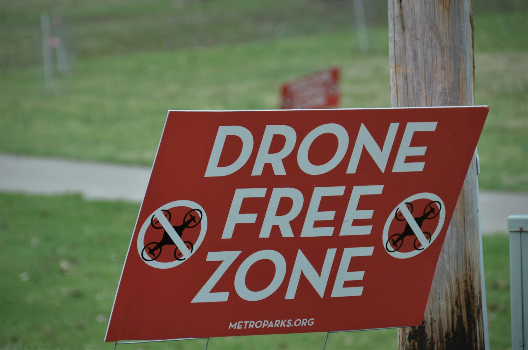
Most airspace violations by drone operators do not happen in the obvious places. They happen at quiet, non-towered airports where a thin dashed magenta ring on the chart turns the ground into controlled airspace, and the operator never reads the line. The six types of airspace are not hard to memorize. The hard part is identifying which one you are standing under before you launch, and that answer lives in the colors and line styles on a sectional chart, not in a definition.
This guide treats airspace classification as a chart-reading skill: what each of the six classes is, the altitudes that define it, and the exact symbol that marks it on a VFR sectional. For the separate question of how to request authorization once you have identified controlled airspace, the airspace authorization workflow covers LAANC, DroneZone, and the live-condition checks that sit on top.
Quick answer: There are six types of airspace in the United States: Classes A, B, C, D, E (controlled) and Class G (uncontrolled). Drones routinely touch four of them. Class B, C, D, and surface Class E require prior authorization, usually through LAANC. Class G needs no authorization but still carries the 400-foot altitude limit, right-of-way rules, and any special-use overlays.
Table of contents
- What "types of airspace" actually means
- The six classes at a glance
- How each class appears on a sectional chart
- The controlled classes a drone touches
- Class E: the one that confuses everyone
- Class G: uncontrolled is not unregulated
- Special-use airspace and temporary restrictions
- Worked example: decoding a non-towered airport
- Frequently asked questions
- Bottom line
What "types of airspace" actually means
Airspace classification divides the sky into volumes with different traffic-control rules. The system comes from the International Civil Aviation Organization (ICAO) and is adapted by each country. In the United States, the FAA runs six classes: A, B, C, D, E, and G. There is no Class F here, though Canada and others use it.
The split that matters most is controlled versus uncontrolled. Controlled airspace (A, B, C, D, and most of E) means air traffic control provides separation to participating aircraft, and entry carries requirements. Uncontrolled airspace (G) means no ATC service and no entry requirement, though the rule book underneath stays in force. The FAA's Airspace 101 overview frames the same split for drone operators.
For a Part 107 pilot, only four of the six classes come up in practice. Class A sits far above any drone, and the high-altitude version of Class E rarely affects a flight below 400 feet. That leaves Class B, C, D, and surface Class E as controlled airspace to authorize for, plus Class G as the uncontrolled default where most flights happen. The full Part 107 rule set governs how you operate inside any of them.
The six classes at a glance
Each class is defined by where it sits, who controls it, and what it asks of an aircraft entering. This table is the structural version. The chart-reading version comes next.
| Class | Where it sits | Drone relevance |
|---|---|---|
| A | 18,000 ft to 60,000 ft MSL | Out of reach. Airline and high-performance cruise altitude. |
| B | Busiest airports, surface to ~10,000 ft, tiered shelves | Prior authorization required. Facility-map ceilings near runways are often low or zero. |
| C | Medium-traffic airports, surface to ~4,000 ft AGL | Prior authorization required. LAANC handles most routine requests. |
| D | Smaller towered airports, surface to ~2,500 ft AGL | Prior authorization required. The most common controlled grid drone pilots meet. See Class D airspace. |
| E | Controlled airspace that is not A/B/C/D. Floors at the surface, 700 ft, or 1,200 ft AGL | Authorization required only where Class E reaches the surface for an airport. Detail in Class E airspace. |
| G | Uncontrolled. Surface up to where Class E begins | No authorization required. The 400-foot limit and visual-line-of-sight rules still apply. See Class G airspace. |
The altitudes and radii above are typical, not universal. Class B and C dimensions are tailored airport by airport, and a Class D can have an irregular shape that follows an instrument approach. The chart, not the textbook number, is the authority for any specific location.
How each class appears on a sectional chart
This is the part that separates operators who read airspace from operators who guess at it. Every controlled class has a distinct line color and style on a VFR sectional chart, and Class E uses shading instead of a hard line. The FAA's Aeronautical Chart User's Guide is the authoritative reference, and the USA aviation maps overview walks through the chart conventions in operator terms. Keep this decoder next to the chart:
| On the sectional chart | Airspace it marks | What the drone pilot does |
|---|---|---|
| Solid blue line | Class B | Authorization required. Check the facility-map ceiling, often low near the airport. |
| Solid magenta line | Class C | Authorization required. LAANC usually automatic below the ceiling. |
| Dashed blue line | Class D | Authorization required. Towered airport, single tier to ~2,500 ft AGL. |
| Dashed magenta line | Class E to the surface | Authorization required, even with no control tower. The most-missed marking. |
| Faded magenta shading | Class E floor at 700 ft AGL | No effect on a sub-400-foot flight. No authorization needed for the airspace itself. |
| Faded blue shading | Class E floor at 1,200 ft AGL | No effect on a sub-400-foot flight. |
| No airspace marking | Class G (uncontrolled) | No authorization required. Default for most rural flights. |
Two of these rows trip people up. The dashed magenta line is the trap: pilots see no control tower and assume Class G, when the dashed magenta means Class E reaches the ground and authorization is required. The faded magenta and blue shading are the false alarm in the other direction: the shading marks where Class E starts at 700 or 1,200 feet AGL, which is irrelevant to a flight capped at 400 feet AGL, so it triggers no authorization at all. Reading those two correctly prevents most airspace mistakes before they happen.
The controlled classes a drone touches
Class B, C, and D share a logic: a control tower, a defined volume around a busy airport, and a prior-authorization requirement for any drone entering. The difference is scale. Class B wraps the busiest hubs in tiered shelves and pushes facility-map ceilings down to zero near the runways. Class C covers medium-traffic airports with radar service. Class D is a single layer around smaller towered fields, the controlled airspace most operators meet day to day.
Authorization for all three runs the same way. The Low Altitude Authorization and Notification Capability (LAANC) returns near-instant approval when the requested altitude sits at or below the published UAS Facility Map ceiling for that grid square. The full request flow lives in the LAANC authorization reference, and the flight planning workflow covers where that step fits in pre-flight. Surface Class E behaves the same way for authorization despite having no tower, which is exactly why it gets missed.
Class E: the one that confuses everyone
Class E is controlled airspace that is not Class A, B, C, or D. It exists in three forms a drone pilot needs to tell apart, and only one of them requires authorization.
Surface Class E is designated around certain non-towered airports that have instrument approaches. It reaches from the ground up and requires authorization just like towered controlled airspace, marked by the dashed magenta line. This is the version that catches operators who equate "no tower" with "no authorization."
The 700-foot and 1,200-foot versions are transition layers that lower the floor of en-route controlled airspace so instrument traffic can descend toward airports. A 700-foot Class E floor shows as faded magenta shading; a 1,200-foot floor shows as faded blue. Because a Part 107 flight is capped at 400 feet AGL, neither floor affects a normal drone operation, and neither requires authorization. The cloud-clearance minimums do change by class, worth knowing from the METAR guide and surfaced in DroneBundle's weather integration when you plan around conditions.
Class G: uncontrolled is not unregulated
Class G is uncontrolled airspace, where air traffic control provides no separation service and no authorization is required to fly. It covers most of the rural United States from the surface up to wherever Class E begins, usually 700 or 1,200 feet AGL.
No authorization does not mean no rules. The 400-foot altitude limit under 14 CFR Part 107 applies in Class G. The visual-line-of-sight requirement applies. Right-of-way rules require the drone to yield to manned aircraft. And special-use airspace, which the next section covers, overlays Class G as readily as anywhere else.
The collision math in Class G also deserves respect. Most agricultural flying, helicopter EMS, pipeline patrol, and general-aviation pattern work happens below 1,000 feet AGL in exactly this airspace. A drone at 380 feet AGL in rural Class G shares a vertical band with low-flying manned traffic, which is why Remote ID broadcast and a disciplined visual scan matter even where no one is asking for paperwork.
Special-use airspace and temporary restrictions
On top of the six classes sit two more layers that do not appear in the A-through-G system but can ground a flight anywhere, including Class G.
Special-use airspace marks areas with military or security activity. Prohibited areas (P-56 over the White House and Capitol, for example) bar all flight. Restricted areas allow transit only when the restricting activity is inactive. Military Operations Areas, Alert Areas, and Warning Areas flag hazardous activity without legally barring entry. The no-fly zones and restricted areas reference covers how each appears on the chart and which ones move.
Temporary Flight Restrictions (TFRs) are the dynamic layer. Presidential movements, wildfires, and major public events generate short-notice restrictions that override existing authorizations. Stadium TFRs stand permanently over major sporting venues, extending 3 nautical miles laterally and 3,000 feet vertically from one hour before an event to one hour after. A clean LAANC approval means nothing if a TFR has activated over the same ground, so a NOTAM and TFR check belongs in every pre-flight, not every site. Crews in the public safety and emergency response industry live with the emergency version of this layer constantly.
Worked example: decoding a non-towered airport
A roofing client asks for drone photos of a warehouse 1.5 nautical miles from a small county airport. The airport has no control tower, so the natural assumption is Class G and a launch with no paperwork.
Pull the sectional chart and the picture changes. The airport sits inside a dashed magenta circle. That dashed magenta line is Class E to the surface: controlled airspace, authorization required, tower or no tower. The "no tower so it must be Class G" assumption would have produced a surface-area incursion, which is one of the FAA's most common enforcement triggers.
The fix costs about 90 seconds. If a UAS Facility Map covers the area, a LAANC request at or below the published ceiling returns automatic authorization on the spot. Where no LAANC grid is published, the request routes through the FAA DroneZone portal as a manual application with days of lead time, which is exactly the kind of detail worth catching at the planning stage rather than on launch day. Reading one line on the chart correctly is the entire difference between a compliant flight and a violation that can reach $75,000.
Before any flight, run the airspace in four steps:
- Find the site on a sectional chart and identify the nearest airport.
- Match the boundary to the decoder above: solid blue (B), solid magenta (C), dashed blue (D), dashed magenta (surface E), faded shading (700 or 1,200 ft E), or nothing (G).
- If the line means controlled airspace, check the facility-map ceiling and request LAANC or DroneZone authorization.
- Check live conditions for TFRs, NOTAMs, and active special-use airspace before you launch, then log it with the rest of your pre-flight checks.
Frequently asked questions
What are the six types of airspace?
The six types of airspace in the United States are Classes A, B, C, D, E, and G. Classes A through E are controlled airspace, where air traffic control provides separation and entry carries requirements. Class G is uncontrolled airspace with no authorization requirement. There is no Class F in the US system.
Which types of airspace can a drone fly in without authorization?
A Part 107 drone can fly in Class G airspace and under the 700-foot or 1,200-foot Class E shading without prior authorization, as long as it stays at or below 400 feet AGL and follows the other Part 107 rules. Class B, C, D, and surface Class E all require authorization, usually through LAANC. The risk assessment behind a waiver matters when an operation needs to exceed those limits.
How do I tell which airspace I am in?
Read the boundary on a VFR sectional chart. Solid blue marks Class B, solid magenta marks Class C, dashed blue marks Class D, and a dashed magenta line marks Class E to the surface. Faded magenta or blue shading marks where Class E starts at 700 or 1,200 feet AGL, which does not affect a sub-400-foot flight. No marking at all means Class G.
Does a non-towered airport mean Class G airspace?
Not necessarily. Many non-towered airports with instrument approaches sit inside surface Class E, shown as a dashed magenta line, which requires authorization despite having no control tower. Assuming Class G because there is no tower is one of the most common airspace mistakes, and a quick compliance check against the chart prevents it.
Bottom line
The six types of airspace are a fixed system, but the skill that keeps you compliant is reading them off a chart, not reciting them. Learn the line colors, respect the dashed magenta ring at non-towered airports, and ignore the faded shading that never reaches your altitude. Everything past that, including the authorization itself, follows from identifying the class correctly first. Pilots who build chart-reading into pre-flight catch the airspace that the automated tools and the recurrent-training refreshers from pilot training assume you already know, and they steer clear of the altitude traps covered in how high a drone can fly.
Ready to keep airspace identification and flight records in one place?
DroneBundle pairs each flight with the airspace it operated in, the authorization that cleared it, and the pre-flight checklist behind it, so the paperwork for any flight is one record rather than a scramble through email. Tour the features to see how it fits the rest of the operations stack, with live tracking for in-flight monitoring of every aircraft.
Start your free trial today, no credit card required.
Or try the live demo to see airspace records, flight logs, and compliance documentation in one workflow.