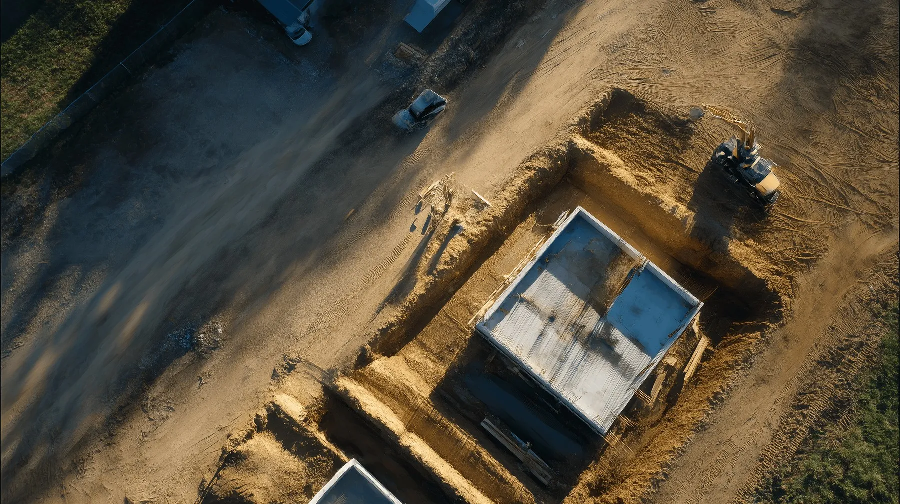
DroneBundle for Surveying & Inspection
Run professional survey and inspection operations with confidence
DroneBundle helps survey and inspection teams plan missions, keep documentation in order, and deliver professional client reports, all from one platform.
Challenges teams often run into
Repeatable flight patterns for consistent survey data
Multiple client projects running at once
Need for detailed mission logs and audit trails
Ad-hoc requests for immediate turnaround
Maintaining high data quality standards
Keeping recurring site inspections on schedule across many locations
How DroneBundle helps
Create reusable survey templates for different site types
Organize flights by client, site or project ID
Auto-generate professional reports for client delivery
Track drone calibration, maintenance and sensor specs
Centralize photos, data and compliance docs in one vault
Schedule recurring inspections with reminders so revisits never slip
Key features
Grid or corridor survey templates
Client project folders with tagging
Automatic flight log and telemetry capture
Equipment tracking for drones, sensors, and survey gear
PDF and CSV export for clients or regulators
Recurring inspection scheduling with reminders
How it works
Create a survey mission using a corridor or grid template
Pre-flight checklist confirms sensor calibration
Execute the flight and automatically log telemetry
Process data in your photogrammetry or CAD tool, then link the output to the mission in DroneBundle
Export a professional report for client delivery
What teams aim for
More consistent, defensible survey data
Faster turnaround times for repeat clients
Easier compliance and quality assurance audits
Explore the platform
The features behind this work, in detail.
Airspace & Planning
Grid and corridor planning with US and European airspace and weather built in.
Flight Logs & Telemetry
Logs sync from the controller, file to the right project, and replay in 3D.
Operations at Scale
Run many client projects from one screen, with templates and bulk actions.
Client Portal & Invoicing
Share a project with a client, then export a full report or invoice.
Safety & Compliance
Pre-flight checklists, audits, and a document trail for quality assurance.
AI-Powered Search
Find any survey, site, or file in plain words across your workspace.
