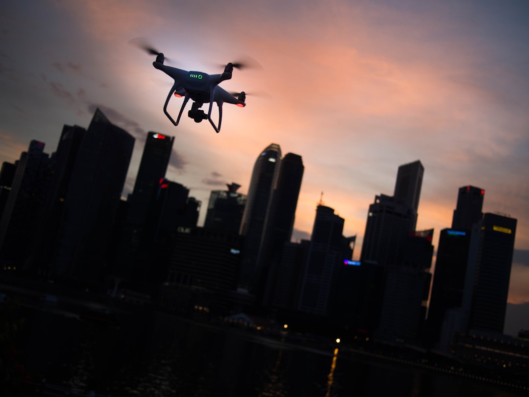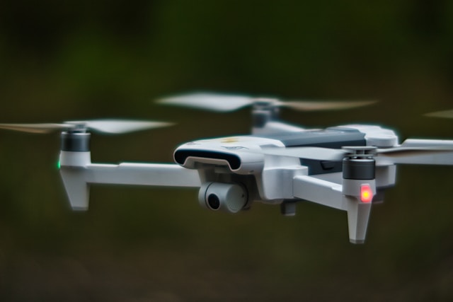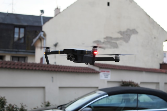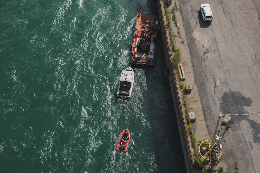
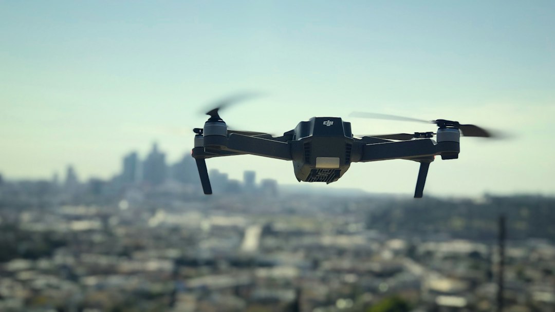
A police drone is a small unmanned aircraft flown by a law enforcement agency to see a scene before officers arrive, search for people, document evidence and support tactical calls. More than 1,000 US public safety agencies had received the FAA's public safety drone waiver by February 2026, and the rules that decide what those drones may record come from courts and state legislatures, not the FAA.
That split is the part most people miss. The FAA decides where and how a police drone can fly. It has nothing to say about whether an officer can hover over your backyard, how long the footage is kept, or who gets to see it. Those answers come from the Fourth Amendment, a patchwork of state statutes, and each department's own written policy.
This guide is for residents, journalists and council members as much as for agencies. If you are building a program from scratch, the operational side (waivers, staffing, costs, a 90-day standup plan) lives in our drones for first responders program guide.
Table of contents
- What is a police drone?
- How police departments use drones
- What a police drone can and cannot see
- Which drones police use, and why the list is shrinking
- What FAA authority police drones fly under
- Can police use a drone without a warrant?
- Police drone laws by state
- The police drone policy, and the records that prove it was followed
- How to find out what a police drone program is doing
- The open questions: scale, AI dispatch and weapons
- Becoming a police drone pilot
- Frequently asked questions
What is a police drone?
A police drone is any small unmanned aircraft system (sUAS) owned or contracted by a law enforcement agency and flown for a policing purpose. Most are commercial quadcopters weighing under 5 kg, carrying a zoom camera, a thermal sensor, a spotlight or a loudspeaker.
There are three broad program types, and they behave very differently in a community:
- Patrol-carried drones. An officer keeps a drone in the trunk and launches it at a scene: a crash, a barricaded subject, a missing person. Flights are short, local and tied to a specific call.
- Specialist unit drones. A SWAT, crash reconstruction or search and rescue team owns larger aircraft with better sensors. Fewer flights, longer missions.
- Drone as First Responder (DFR). Aircraft sit in docks on rooftops and launch when a 911 call comes in, often reaching the address before a patrol car. A remote pilot in a real-time crime center flies them beyond visual line of sight.
DFR is the fastest-growing and most debated of the three, because it turns the drone from an occasional tool into a routine part of how a city answers calls.
How police departments use drones
Police departments mostly use drones to get eyes on a scene quickly and to avoid sending officers into the unknown. The common mission types, roughly in order of how often they appear in published department data:
- Calls for service under DFR. Disturbances, suspicious persons, alarms, shots-fired reports. The drone confirms what is happening and whether officers are needed at all.
- Searches for missing people. Children, elderly residents with dementia, people in crisis. Thermal sensors are the reason this works at night.
- Suspect tracking. Following a fleeing person or vehicle without a pursuit on foot or by car.
- Tactical support. Barricades, hostage calls and warrant service, where the drone looks into areas officers would otherwise have to enter.
- Crash and crime scene documentation. Overhead mapping and measurements, so roads reopen sooner. Our guide to drones for emergency response covers the evidence handling side.
- Crowd and event overwatch. Parades, marathons, large gatherings. This is the use that draws the most civil liberties criticism.
The volume is growing fast. San Francisco police went from roughly 350 drone deployments in 2024 to over 1,100 from January to August 2025 and over 3,500 in the first five months of 2026, according to an EFF review of SFPD drone use. The 2025 figure comes from SFPD's own AB 481 annual report and counts every deployment, including training flights, not only responses to calls. Chula Vista, California, began flying drones from its police headquarters to 911 calls in October 2018 and is widely described as the pioneer of DFR.
That growth is the context for everything else in this article. A drone that flies twice a month raises different questions than one that flies dozens of times a day over the same neighbourhoods.
What a police drone can and cannot see
A police drone can read a licence plate or recognise a face from well over 100 metres away with optical zoom, and its thermal camera can find a warm body in a dark field. It cannot see through walls, and most programs do not record audio.
What current public safety aircraft can do:
- Optical zoom. Enterprise aircraft carry telephoto cameras with high hybrid zoom; DJI's Matrice 4T lists 112x. From a few hundred feet up, that can be enough detail to identify a person or vehicle. The drone does not need to be close to see you clearly.
- Thermal imaging. A radiometric thermal sensor shows heat differences: a person in brush, a recently driven car, a hand on a fence. Our thermal drone guide explains resolution and what the image actually represents.
- Spotlights and speakers. Used for searches and for giving instructions at a scene.
- Real-time video to a command center. DFR feeds go straight to dispatchers and supervisors.
What they cannot do, despite common fears:
- See through walls or roofs. Thermal cameras read surface temperature. A wall shows as a wall. The Supreme Court in Kyllo v. United States (2001) treated thermal scanning of a home as a search precisely because it reveals information from inside, which is one reason agencies avoid pointing thermal sensors at houses without a warrant.
- See through closed curtains or tinted glass. Glass blocks long-wave thermal radiation, so a thermal camera sees a reflection, not the room.
- Fly silently overhead for hours. Battery endurance is typically 30 to 50 minutes. Long coverage means swapping aircraft or tethering.
- Hide from Remote ID. Police drones are registered aircraft and fall under the FAA's Remote ID rule (14 CFR Part 89), and the FAA's public safety waiver requires standard Remote ID for beyond-visual-line-of-sight flights. A broadcast receiver app will show the drone and its control station location. Matching a serial number to its owner is limited to the FAA and government agencies for security or law enforcement, so the app will not say "police." Our Remote ID explainer covers how the broadcast works.
If your interest is in recognising one overhead, that is a separate question with its own guides: police drones at night and how to spot a police drone at night cover lights, sound and behaviour.
Which drones police use, and why the list is shrinking
For most of the last decade, the majority of US police drones were DJI aircraft, because they were cheap, capable and easy to fly. That is changing because of federal and state procurement rules, not because the aircraft stopped working.
Four layers now shape what a department can buy:
| Restriction | What it does | Who it hits |
|---|---|---|
| American Security Drone Act | Since 22 December 2025, federal funds, including grants, cannot be used to buy or operate drones made or assembled by listed covered foreign entities. | Agencies using federal grant money |
| FCC Covered List (22 December 2025) | Foreign-made drones and critical components can no longer get new FCC equipment authorisations. Already-authorised models and drones in service are not grounded. | Every buyer of new foreign models |
| State bans | Florida, Arkansas, Mississippi and Nevada restrict state and local agencies from buying or using drones from listed foreign countries or companies, on different timelines. | Agencies in those states |
| FCC PS Docket 26-189 (proposal) | Would stop continued import and marketing of already-authorised foreign drones in "military-grade" categories, including thermal, LiDAR and docking stations. Existing fleets could keep flying. No final order as of October 2026. | Thermal and dock purchases specifically |
The practical result: departments buying new aircraft increasingly choose US or allied manufacturers such as Skydio, BRINC and Parrot, and DFR vendors bundle aircraft, docks and software into multi-year contracts. Departments with existing DJI fleets usually keep flying them while they plan replacements. Our explainers on the US foreign drone ban and the DJI ban track where each rule stands.
What FAA authority police drones fly under
Police drones fly under one of two FAA frameworks: Part 107, the ordinary commercial rule, or a Part 91 public aircraft operation backed by the FAA's public safety Certificate of Waiver. Most active DFR programs use the waiver.
Since April 2025, the FAA's streamlined 91.113 public safety waiver has replaced the older BVLOS COAs; visual-line-of-sight COAs still exist. According to the FAA's waiver FAQ, it allows round-the-clock operations including night, beyond visual line of sight flights, and flights over people and moving vehicles with qualifying aircraft, for 48 months. BVLOS flights without detect-and-avoid equipment are generally capped at 200 ft, with a separate path to 400 ft for aircraft that have it. By February 2026, more than 1,000 agencies had received waivers, and the FAA issued more between April 2025 and February 2026 than in the previous seven years combined, according to FAA figures reported by the EFF. The FAA publishes every issued waiver.
Two details matter for anyone evaluating a program:
- Under the waiver, the agency trains and certifies its own pilots. Part 107 is not strictly required, so the agency's training records are the only proof of competency. Most agencies require Part 107 anyway.
- The FAA governs safety, not surveillance. A valid waiver says the flight is safe. It says nothing about whether the flight was lawful under the Fourth Amendment or state law.
The full eligibility test, the equipment list and the tethered-drone carve-out are covered in the first responders guide linked above, and the BVLOS waiver guide explains the commercial equivalent. Part 108, the FAA's proposed BVLOS rule, is still not final; our Part 108 overview tracks what it could change for DFR.
Can police use a drone without a warrant?
Often, yes. Under federal law, police generally do not need a warrant to observe what is visible from public airspace, but courts have started to treat low, targeted or persistent drone surveillance differently, and a number of states, including Florida, Minnesota and Indiana, require a warrant by statute, with exceptions.
What the Supreme Court has said
The Supreme Court has never decided a drone case. The rules come from three older aerial cases:
- California v. Ciraolo (1986). Police flew a plane at 1,000 ft over a fenced backyard and saw marijuana. Not a search: anyone flying in public navigable airspace could have seen it.
- Florida v. Riley (1989). A helicopter at 400 ft over a greenhouse. Also not a search, though the opinions hinted that the answer could change if such flights were rare or intrusive.
- Kyllo v. United States (2001). Thermal imaging of a home from the street was a search, because it used technology not in general public use to learn about the inside of the home.
Read together, a police drone flying legally overhead and looking at what is exposed outdoors is usually not a search. A drone using special sensors to learn what happens inside a home probably is.
Where lower courts have gone further
Two cases show where the law may be heading.
In Leaders of a Beautiful Struggle v. Baltimore Police Department (2021), the full Fourth Circuit ruled 8-7 that police access to the data from Baltimore's wide-area aerial surveillance program, which photographed around 90% of the city during daylight hours, was a Fourth Amendment search, and that running it without warrants was unconstitutional, because it let police reconstruct people's movements over time. The ruling reversed the denial of a preliminary injunction; the program had already ended. That program used crewed planes, but similar reasoning could reach other persistent overhead cameras, possibly including a dense DFR network. The Brennan Center's case summary covers the litigation.
In Long Lake Township v. Maxon, the Michigan Court of Appeals held in 2021 that targeted drone surveillance of a property violated the Fourth Amendment, but that opinion was vacated in 2022. When the case returned, the Michigan Supreme Court's 2024 opinion decided it on other grounds, holding the exclusionary rule did not apply in a civil zoning case, and expressly declined to decide whether the drone flight was an unreasonable search.
So the honest answer is that the law is unsettled.
A single drone flight over a public street to check a reported crash is plainly fine. A drone that repeatedly hovers low over the same home, or a network that can reconstruct someone's daily movements, is exactly the kind of surveillance courts are starting to question.
Police drone laws by state
State police drone laws usually follow the same pattern: a warrant requirement, followed by a list of exceptions that cover most real-world calls. The exceptions, not the warrant rule, decide what a DFR program can do day to day.
| State | Warrant rule | Notable exceptions and extras |
|---|---|---|
| Florida (§934.50) | Drones may not be used to gather evidence unless a warrant or an exception applies | Imminent danger to life or serious property damage (including missing-person searches), crowds of 50+ (with written policy and the agency head's written authorisation), traffic management (no citations from drone images), crime and crash scenes |
| Minnesota (§626.19) | Warrant needed for any use, unless an exception applies | 11 exceptions incl. emergencies, disasters, crash reconstruction, missing persons. Data deleted within 7 days unless part of an active criminal investigation. No weapons. No facial recognition without a warrant. Written public policy, and an annual report on warrantless flights and program cost |
| California (AB 481) | No drone-specific warrant statute | Drones count as "military equipment," so the governing body must approve a use policy by ordinance before acquiring or using them, and the agency must publish an annual report |
| Indiana | Warrant required to surveil private property or people on it without the owner's consent, unless a warrant would not be needed for the same search without a drone | Images obtained in violation are inadmissible in administrative and judicial proceedings |
| Kentucky | Drone searches must be authorised under the Fourth Amendment and state constitution | Where a warrant is used, it must specifically authorise the drone; evidence gathered outside the statute's limits is generally inadmissible |
Two things stand out when you read the statutes themselves rather than summaries.
First, the exceptions are broad. Florida's §934.50 allows warrantless drone use whenever the agency has reasonable suspicion that swift action is needed to prevent imminent danger to life or serious damage to property, which can cover a large share of 911 calls. A DFR program in a warrant state can still fly many of its calls lawfully.
Second, the strongest privacy protections are about data, not flights. Minnesota's §626.19 forces deletion within seven days, requires a record of every use tied to a case number, and requires an annual report listing each warrantless flight, the exception relied on and the program's cost. Those are records obligations. An agency that cannot produce a clean list of its flights cannot comply with them.
Many states have no police-specific drone statute at all, which leaves the Fourth Amendment and local policy as the only limits. Laws change every session, so check your state's current code before relying on any summary, including this one.
The police drone policy, and the records that prove it was followed
Every responsible police drone program runs on a written use policy, and the policy is only as credible as the records behind it. A sentence like "drones will not be used for random surveillance" means nothing unless each flight can be traced to the call that justified it.
Here is how common policy clauses map to the evidence that proves them:
| Policy clause | Record that proves compliance |
|---|---|
| Flights only in response to a call, warrant or approved exception | Every flight linked to a CAD incident or case number, with the authorising exception noted |
| No targeting based on protected characteristics or protected activity | Mission purpose recorded at launch, reviewed by a supervisor |
| Camera pointed at the incident, not at bystanders | Flight path and replay showing where the aircraft went and how long it stayed |
| Non-evidentiary video deleted within X days | Retention log showing deletion dates per file |
| Only trained pilots fly | Pilot assignment per flight, matched to training records |
| Aircraft maintained and airworthy | Maintenance and battery history per airframe |
| Incidents and complaints investigated | Incident reports with root cause and corrective actions |
The weak point in most programs is the first row. Flight logs come off the aircraft automatically, but linking each one to the incident that justified it is a manual step that slips when a unit is flying 20 times a day. A drone logbook that ties flights to missions, plus flight replay to show the path afterwards, turns the policy from a promise into something an auditor can check.
The policy itself also needs version control. When a council asks which rules were in force during a specific flight eight months ago, "the current PDF on the website" is not an answer. The general principles of drone compliance recordkeeping apply here, with higher stakes.
How to find out what a police drone program is doing
The fastest way to learn what a local police drone program does is to check the department's website for a published policy, a flight dashboard or an annual report, and then file a public records request for anything missing. Drone records held by a government agency generally fall under state public records laws, though exemptions for active investigations are common, and Minnesota classifies the footage itself as private or nonpublic data.
What a well-run department publishes on its own:
- The use policy. Portland Police Bureau publishes its UAS standard operating procedure and lists prohibited uses, including random or indiscriminate mass surveillance and weaponising the aircraft.
- A flight dashboard. Chula Vista has published data on every police drone flight since April 2021. Portland's drone page links a public dashboard, updated monthly, that filters flights by call type and mission.
- Annual reports. Required in California under AB 481 and in Minnesota under §626.19, and published voluntarily by many others.
If a department publishes none of that, a public records request can. Useful items to ask for:
- The current drone use policy and every earlier version, with effective dates
- A list of drone flights for a defined period, with date, time, location, call type and incident number
- The retention schedule for drone video, and deletion logs
- Purchase contracts, including any software or data-sharing terms with the vendor
- Training records for the unit (names may be redacted)
- Any audits, complaints or internal reviews of the program
Be specific about date ranges. A request for "all drone footage" will be refused or take months; a request for the flight list for one quarter usually will not.
The open questions: scale, AI dispatch and weapons
The current debate about police drones is less about individual flights and more about what happens when a city runs thousands of them a year with automation in the loop.
Scale. A DFR network with docks every few kilometres can reach most of a city within a couple of minutes. That is the argument for it and the main concern about it. The Fourth Circuit's reasoning in the Baltimore case was about aggregation, and dense DFR coverage is the closest modern equivalent.
AI dispatch and integration. Some DFR vendors use AI to automate flights from launch pads, and drone video can be turned into licence plate reader data with little extra software. The EFF, citing an analysis of Chula Vista's program, says many deployments go to low-risk calls, and warns that drones can capture footage of backyards, roofs and through windows. How much automation is allowed, and how incidental footage is handled, are policy questions many cities are deciding right now.
Weapons. In June 2022, Axon announced a concept for a Taser-equipped drone in schools. After public criticism, Axon said it was pausing the project, and a day later nine members of its AI ethics board announced their resignations. Minnesota, Maine and Virginia prohibit law enforcement from using weaponised drones, and Portland's policy bans weaponising its aircraft.
Becoming a police drone pilot
Most police drone pilots are sworn officers who join a UAS unit after their regular training. Agencies usually require an FAA Part 107 remote pilot certificate, even when the program flies under a public aircraft waiver, plus internal training on the department's aircraft and policy.
If you are not already in law enforcement, the realistic paths are civilian roles in a real-time crime center (some agencies hire civilian DFR pilots) or work with the vendors that run contracted DFR programs. Start with the Part 107 guide, then browse current openings in our commercial drone pilot jobs guide. For agencies, the aircraft-side picture of surveillance drones and the incident reporting guide are good next reads.
Frequently asked questions
Can police fly a drone over my house?
Yes, in most cases. FAA rules allow police drones to fly over private property, and under federal precedent officers can generally observe what is visible from public airspace without a warrant. Some states require a warrant for drone surveillance (Indiana's rule covers any use on or over private property without the owner's consent), with exceptions for emergencies and missing persons. Hovering low over a home or using thermal imaging to learn what happens inside is far more likely to be treated as a search.
How do I know if a drone is a police drone?
You usually cannot tell for sure from the ground. Police drones broadcast Remote ID like other registered drones, and a receiver app will show the aircraft's position and control station, but not who owns it. Behaviour is a better clue: police drones tend to hold over an active scene or move with a call. Departments with public flight dashboards let you check after the fact.
How long do police keep drone footage?
It depends on the state and the department. Evidentiary footage is kept as long as the case requires. Non-evidentiary footage is often purged on a set schedule, and the periods vary widely: Minnesota law requires deletion within seven days unless the data is part of an active criminal investigation, while San Francisco's policy allows 30 days and some agencies keep footage for six months or more. The retention schedule is a public record you can request.
Are police drones armed?
Armed police drones are not part of mainstream US practice, and several states ban them. Minnesota, Maine and Virginia prohibit law enforcement from using weaponised drones, and published department policies such as Portland's ban them too. Axon paused a proposed Taser drone in 2022 after public criticism, and nine members of its AI ethics board resigned over the plan.
Run a police drone program you can defend in a public meeting
Every police drone program eventually faces the same questions from a council, a reporter or a court. What flew? Why? Who was flying? Which policy was in force? Where is the footage, and when was the rest deleted?
The agencies that answer in minutes are the ones whose records were organised from the first flight.
DroneBundle gives public safety teams a single place for that record. DJI flight logs sync in and are matched to the mission they belong to, with unmatched flights flagged for someone to link, and every flight can be replayed in 3D after landing. Use policies and SOPs live in a versioned document library, so you can show which version applied on any date. Incident reporting tracks root cause and corrective actions, maintenance history is kept per airframe and battery, and role-based access lets mutual aid partners and oversight reviewers see only what they need. See how it fits together on the public safety and emergency operations page or in flight logs and replay.
Start a free trial and load your use policy and first month of flight logs, or book a live demo to walk through a police drone records workflow with your own mission types.