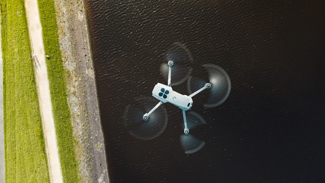
What is a Thermal Drone?
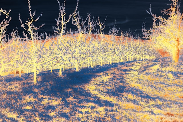
A thermal drone is an unmanned aircraft equipped with an infrared camera that detects heat signatures and temperature variations invisible to the human eye. These drones capture thermal radiation emitted by objects, converting it into visual images that display temperature differences across surfaces. Professional thermal drones are used for building inspections, search and rescue, firefighting, electrical surveys, and agricultural monitoring.
Thermal drones have transformed how professionals detect problems that remain invisible to standard cameras. A thermal drone can identify a failing electrical connection, locate a missing person in darkness, or find water damage hidden behind walls. This capability makes thermal imaging drones essential equipment for inspection companies, emergency responders, and industrial operations.
The thermal drone market continues expanding as sensor technology improves and prices decrease. Modern thermal drones range from compact platforms under $5,000 to enterprise systems exceeding $30,000, with options for every professional application. Understanding thermal camera specifications, drone capabilities, and application requirements helps buyers select equipment that matches their operational needs.
Table of contents
- How thermal imaging works
- Best thermal drones by category
- Thermal camera specifications explained
- Top thermal drone manufacturers
- Applications and use cases
- How to choose the right thermal drone
- Frequently asked questions
- Implementation considerations
- In summary
How thermal imaging works
Thermal cameras detect infrared radiation that all objects emit based on their temperature. Unlike standard cameras that capture reflected visible light, thermal sensors measure heat energy directly. This fundamental difference allows thermal drones to see temperature variations regardless of lighting conditions.
Infrared spectrum basics
All objects with temperatures above absolute zero emit infrared radiation. Warmer objects emit more radiation than cooler ones. Thermal cameras contain sensors that detect this radiation and convert it into electrical signals, which processors then translate into visible images.
Most drone thermal cameras operate in the Long-Wave Infrared (LWIR) spectrum, typically 7.5 to 13.5 micrometers. This wavelength range works well for detecting temperature differences relevant to inspection and search applications, from building heat loss to human body heat.
Radiometric vs non-radiometric cameras
Radiometric thermal cameras capture precise temperature data for every pixel in the image. This capability proves essential for power line inspections and electrical surveys where specific temperature readings identify failing components. Radiometric data enables quantitative analysis and professional reporting.
Non-radiometric cameras display relative temperature differences without exact measurements. These cameras cost less and work adequately for applications where visual identification matters more than precise readings, such as search and rescue or general surveillance.
Dual-sensor systems
Modern thermal drones typically combine thermal and visual cameras in dual-sensor configurations. The visual camera provides context and detail while the thermal camera reveals temperature patterns. Operators can switch between views or display both simultaneously in picture-in-picture or split-screen modes.
This dual-sensor approach enhances asset inspection workflows by allowing operators to document both the thermal anomaly and its precise location on the structure. Professional reporting requires both thermal evidence and visual context.
Best thermal drones by category
Thermal drones span a wide price and capability range. The right choice depends on your application requirements, flight time needs, and budget constraints.
Enterprise thermal drones
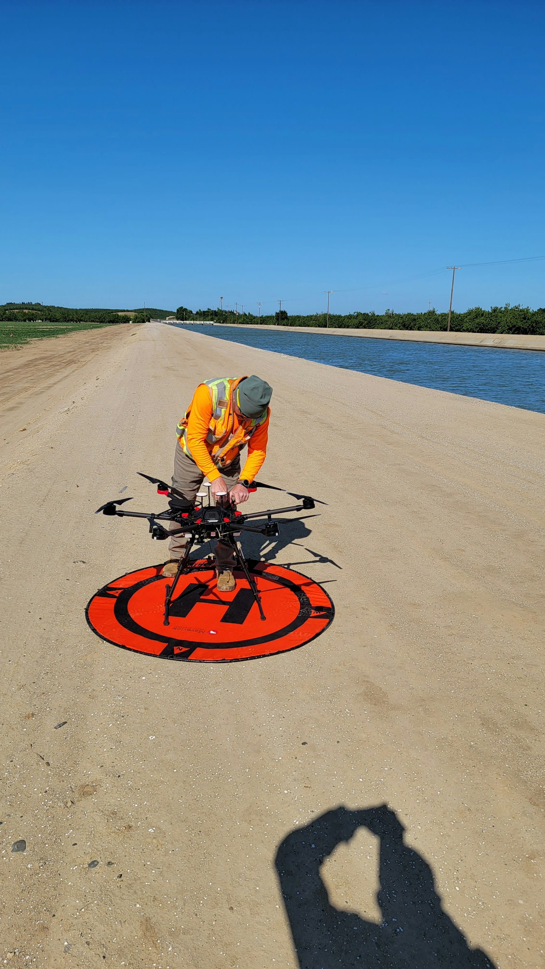
Enterprise platforms offer the highest payload capacity, longest flight times, and most advanced thermal sensors. These drones suit organizations conducting frequent professional inspections or public safety operations.
DJI Matrice 350 RTK represents the flagship enterprise platform. With up to 55 minutes flight time and compatibility with the Zenmuse H20T quad-sensor payload, it handles the most demanding inspection scenarios. The H20T combines 640x512 thermal imaging with 20MP zoom, 12MP wide camera, and laser rangefinder. Organizations performing wind turbine inspections and large-scale infrastructure surveys favor this platform.
DJI Matrice 30T integrates thermal, zoom, and wide-angle cameras in a compact, rapidly deployable package. Its 41-minute flight time and weather resistance suit tactical operations where speed matters. Search and rescue teams and fire departments often select this platform for emergency response.
Autel EVO Max 4T XE offers an alternative to DJI with SLAM-based navigation that operates without GPS. Its four-camera system includes 640x512 thermal resolution and 160x hybrid zoom. The A-Mesh networking allows multiple drones to coordinate operations, valuable for large-area searches.
Teledyne FLIR SIRAS comes from the leading thermal imaging manufacturer. Purpose-built for professional applications, it features 640x512 radiometric thermal, 16MP visual camera, 31-minute flight time, and IP54 weather protection. Organizations prioritizing thermal imaging performance over general drone features select this platform.
Mid-range thermal drones
Mid-range platforms balance capability and cost for operators who need professional thermal imaging without enterprise pricing.
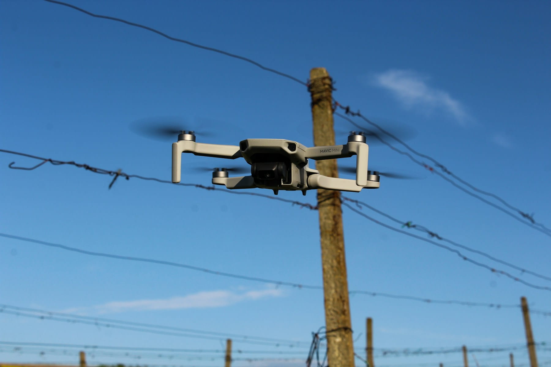
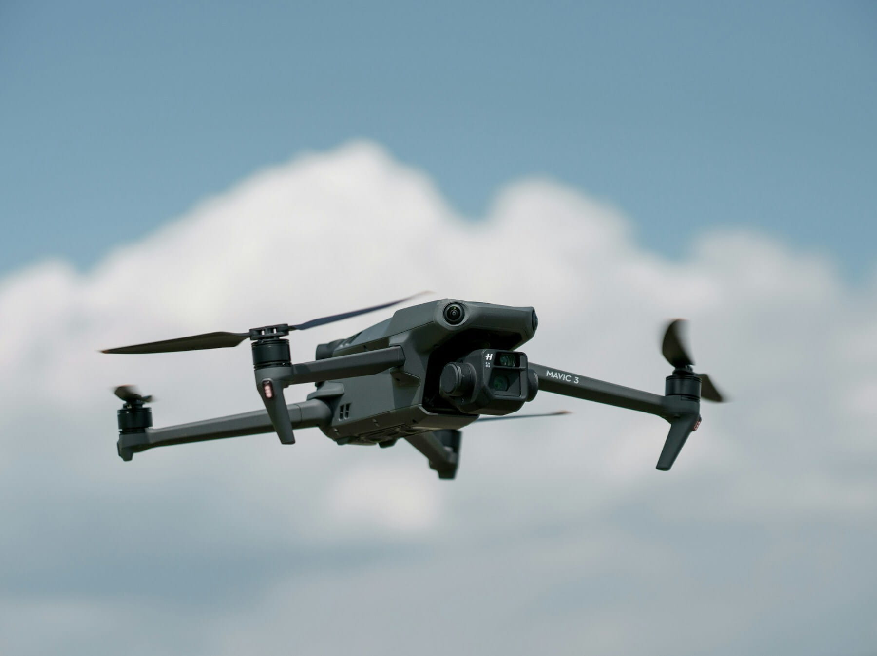
DJI Mavic 3 Thermal delivers 45-minute flight time in a portable package. Its thermal camera suits building inspections, roofing assessments, and agricultural monitoring. The compact size enables travel to multiple sites daily, improving operational efficiency.
Autel EVO II Dual 640T V3 combines a 50MP visual camera with 640x512 thermal sensor. At 38 minutes flight time, it provides solid performance for inspection companies building their thermal imaging business. The high-resolution visual camera produces detailed documentation alongside thermal data.
Parrot ANAFI USA features a FLIR Boson thermal camera with 320x256 resolution paired with 32x zoom capability. Designed for government and enterprise users concerned about data security, it offers a non-Chinese alternative for sensitive operations. The lower thermal resolution suits general detection tasks rather than detailed temperature analysis.
Thermal camera payloads
Some operators prefer adding thermal cameras to existing drone platforms rather than purchasing integrated thermal drones.
FLIR Vue Pro R remains popular as an add-on thermal camera. Available in 640x512 or 336x256 resolutions with multiple lens options, it mounts on various drone platforms. Full radiometric capability enables professional thermography work.
DJI Zenmuse H20T provides quad-sensor capability for Matrice series drones. Organizations already operating DJI enterprise platforms can add thermal capability through this payload rather than purchasing additional aircraft.
Thermal camera specifications explained
Understanding thermal camera specifications helps buyers compare options and select appropriate equipment for their applications.
Thermal resolution
Resolution determines how much detail the thermal image captures. Common resolutions include:
| Resolution | Pixels | Best For |
|---|---|---|
| 640 x 512 | 327,680 | Professional inspections, detailed analysis |
| 336 x 256 | 86,016 | General detection, search and rescue |
| 320 x 256 | 81,920 | Basic thermal imaging, entry-level |
| 160 x 120 | 19,200 | Consumer applications, limited professional use |
Higher resolution cameras reveal smaller temperature anomalies and produce more detailed reports. Professional inspection software workflows benefit significantly from 640x512 resolution thermal data.
Thermal sensitivity (NETD)
Noise Equivalent Temperature Difference (NETD) measures a sensor's ability to detect small temperature variations. Lower NETD values indicate higher sensitivity:
- < 40 mK: Excellent sensitivity for subtle temperature differences
- 40-50 mK: Good professional performance
- > 50 mK: Adequate for basic thermal detection
High sensitivity matters for applications like electrical inspections where detecting a 2-3 degree temperature rise indicates impending failure.
Frame rate
Frame rate affects how smoothly the thermal video displays during flight. Most professional thermal cameras operate at 30 Hz, providing fluid video for real-time inspection. Some export-controlled models operate at 9 Hz, which appears choppier but remains functional for most inspection tasks.
Field of view and lens options
Thermal cameras offer various lens options that trade off field of view against magnification:
- Wide lenses (9mm): Larger field of view for building surveys and search operations
- Standard lenses (13mm): Balanced perspective for general inspection
- Telephoto lenses (19mm+): Narrower view with more detail for distant subjects
Some advanced payloads include zoom capability that adjusts field of view during flight, eliminating the need to choose a single lens configuration.
Top thermal drone manufacturers
Several manufacturers dominate the thermal drone market, each with distinct strengths and product strategies.
DJI
DJI leads the commercial drone market with integrated thermal solutions spanning entry-level to enterprise. Their partnership with Teledyne FLIR provides thermal sensors for many models. The Mavic 3 Thermal and Matrice series with Zenmuse thermal payloads cover most professional applications.
DJI platforms benefit from mature flight systems, extensive dealer networks, and comprehensive software ecosystems. However, US government restrictions and proposed legislation affect DJI purchasing decisions for some organizations.
Autel Robotics
Autel offers competitive alternatives to DJI with American-owned status appealing to government and security-conscious buyers. The EVO II Dual and EVO Max lines provide professional thermal capability with features like SLAM navigation and mesh networking that differentiate from competitors.
Teledyne FLIR
Teledyne FLIR manufactures the thermal sensors used in most drone thermal cameras, including those in DJI and other brands. Their SIRAS drone represents a complete thermal platform from the thermal imaging specialists. FLIR also produces standalone cameras like the Vue Pro R for custom integration.
Parrot
Parrot's ANAFI USA targets government and enterprise customers requiring non-Chinese drone options. While thermal resolution trails competitors, the platform satisfies procurement requirements where origin matters more than specifications.
Applications and use cases
Thermal drones serve diverse industries with applications leveraging their ability to detect temperature variations invisible to standard cameras.
Building and roof inspection
Thermal imaging reveals insulation deficiencies, moisture intrusion, and HVAC problems in buildings. Construction and infrastructure professionals use thermal drones to survey large rooftops quickly, identifying areas requiring closer examination. Flat commercial roofs particularly benefit from thermal inspection since moisture trapped beneath the membrane appears clearly in thermal imagery.
Electrical and utility inspection
Utilities and energy companies depend on thermal drones for preventive maintenance. Overheating electrical connections, transformers, and switchgear appear as hot spots in thermal images long before visible damage occurs. This predictive capability prevents equipment failures and service interruptions.
Solar panel inspection represents a growing application as solar installations expand. Thermal cameras identify failing cells, connection problems, and hotspots that reduce panel efficiency. Large solar farms require drone inspection to survey thousands of panels economically.
Search and rescue
Human body heat stands out clearly against ambient backgrounds in thermal imagery, enabling searchers to locate missing persons in darkness, dense vegetation, or challenging terrain. Fire departments and emergency services deploy thermal drones as standard equipment for search operations.
The ability to search at night without artificial lighting dramatically extends operational windows. Thermal drones often locate subjects that ground searchers and helicopters miss.
Firefighting
Fire departments use thermal drones to identify hotspots, map fire perimeters, and ensure complete suppression. Thermal imaging penetrates smoke that blocks visual observation, providing incident commanders with critical situational awareness.
Wildfire management agencies deploy thermal drones for early detection and monitoring. Identifying smoldering areas before they reignite prevents fire rekindles that waste suppression resources.
Agriculture
Agricultural operations use thermal drones to assess irrigation effectiveness and identify plant stress. Water-stressed crops display different thermal signatures than healthy plants, enabling targeted irrigation adjustments. This precision approach conserves water while improving yields.
Thermal drones also locate wildlife in fields before harvesting, preventing equipment damage and animal casualties. The ability to scan large areas quickly makes thermal drones practical for routine agricultural monitoring.
How to choose the right thermal drone
Selecting appropriate thermal drone equipment requires matching specifications to application requirements and operational constraints.
Define your primary application
Different applications prioritize different capabilities:
- Detailed inspections: Prioritize thermal resolution (640x512) and radiometric data
- Search and rescue: Prioritize flight time and low-light visual capability
- Building surveys: Balance resolution with coverage area efficiency
- Agricultural monitoring: Consider integration with data processing workflows
Understanding your primary use case focuses the selection process on relevant specifications rather than marketing features.
Consider total cost of ownership
The drone purchase represents only part of the investment. Factor in:
- Additional batteries for full-day operations
- Equipment management and tracking systems
- Maintenance and calibration requirements
- Software subscriptions for flight planning and thermal analysis
- Insurance coverage for commercial operations
- Training and certification costs
Enterprise platforms with higher purchase prices may offer better total value through durability, support, and operational efficiency.
Evaluate regulatory requirements
Commercial thermal drone operations require Part 107 certification from the FAA. Some operations may require additional waivers for night flight or operations over people. Organizations should understand compliance requirements before purchasing equipment.
Certain thermal cameras face export restrictions that limit frame rates or require end-user documentation. Verify that selected equipment meets both your performance needs and regulatory constraints.
Plan for integration
Consider how thermal drone data integrates with existing workflows. Professional operations benefit from:
- Flight planning software for consistent coverage
- Thermal analysis software for processing and reporting
- Asset management systems for tracking equipment and certifications
- Client delivery platforms for sharing results
Equipment that integrates smoothly with existing systems delivers more value than isolated solutions requiring manual data handling.
Frequently asked questions
How much does a thermal drone cost?
Professional thermal drones range from approximately $4,500 for entry-level dual-sensor models like the DJI Mavic 3 Thermal to over $30,000 for enterprise platforms with advanced payloads. Mid-range options between $8,000 and $15,000 suit most commercial inspection operations. The thermal camera typically represents the largest cost component, with higher resolution radiometric sensors commanding premium prices.
Can thermal drones see through walls?
Thermal cameras cannot see through solid walls or structures. They detect surface temperatures only. However, temperature patterns on surfaces can reveal conditions behind them. A wet area behind drywall may appear cooler due to evaporative cooling. Insulation gaps allow heat transfer that shows as temperature differences on exterior surfaces. Thermal imaging reveals these secondary effects rather than directly imaging hidden conditions.
Do I need special training to operate a thermal drone?
Commercial operations require FAA Part 107 certification at minimum. Beyond flight certification, effective thermal imaging requires understanding thermography principles. Infrared training organizations offer certifications that establish credibility with clients and improve diagnostic accuracy. Many thermal drone operators pursue Level I or Level II thermography certification to differentiate their services.
What is the difference between FLIR and other thermal cameras?
FLIR (now Teledyne FLIR) manufactures thermal sensors and complete thermal imaging systems. Many competing drones actually use FLIR sensors inside their cameras. The FLIR brand represents decades of thermal imaging expertise, though other manufacturers like DJI and Autel have developed capable thermal systems. The sensor specifications matter more than brand name when comparing thermal performance.
Implementation considerations
Implementing thermal drone operations requires planning beyond equipment selection. Organizations should develop standard procedures for thermal surveys, establish quality control processes for thermal data analysis, and create reporting templates that communicate findings effectively to clients.
Start with applications that match your expertise and client relationships. Building inspectors naturally extend into thermal roof surveys. Electrical contractors can add thermal inspection services. Starting a thermal drone business works best when building on existing industry knowledge and customer relationships.
Consider seasonal factors that affect thermal imaging effectiveness. Temperature differentials between interior and exterior conditions enhance building inspection results during heating and cooling seasons. Solar panel inspections work best under full sun when defective cells generate maximum heat. Planning operations around optimal conditions improves results and client satisfaction.
In summary
Thermal drones provide capabilities that standard cameras cannot match, revealing temperature patterns that indicate problems invisible to the eye. Professional thermal imaging requires understanding both drone operation and thermography principles to deliver accurate, actionable results.
Equipment selection depends on application requirements, with 640x512 resolution and radiometric capability essential for detailed professional inspections. Enterprise platforms suit high-volume operations and demanding environments, while mid-range options provide capable thermal imaging at accessible price points.
The thermal drone market continues maturing with improving sensors, longer flight times, and better integration between hardware and software. Organizations investing in thermal capability now position themselves to serve growing demand across inspection, safety, and industrial applications.
Ready to add thermal capability to your operations?
Professional thermal drone operations require systematic equipment management, compliance tracking, and operational documentation. Whether you're expanding inspection services or building dedicated thermal survey capability, organized workflows improve efficiency and client satisfaction.
Start your free trial today - no credit card required.
Or book a demo to see how DroneBundle supports thermal inspection operations with equipment management and compliance tracking designed for professional drone services.