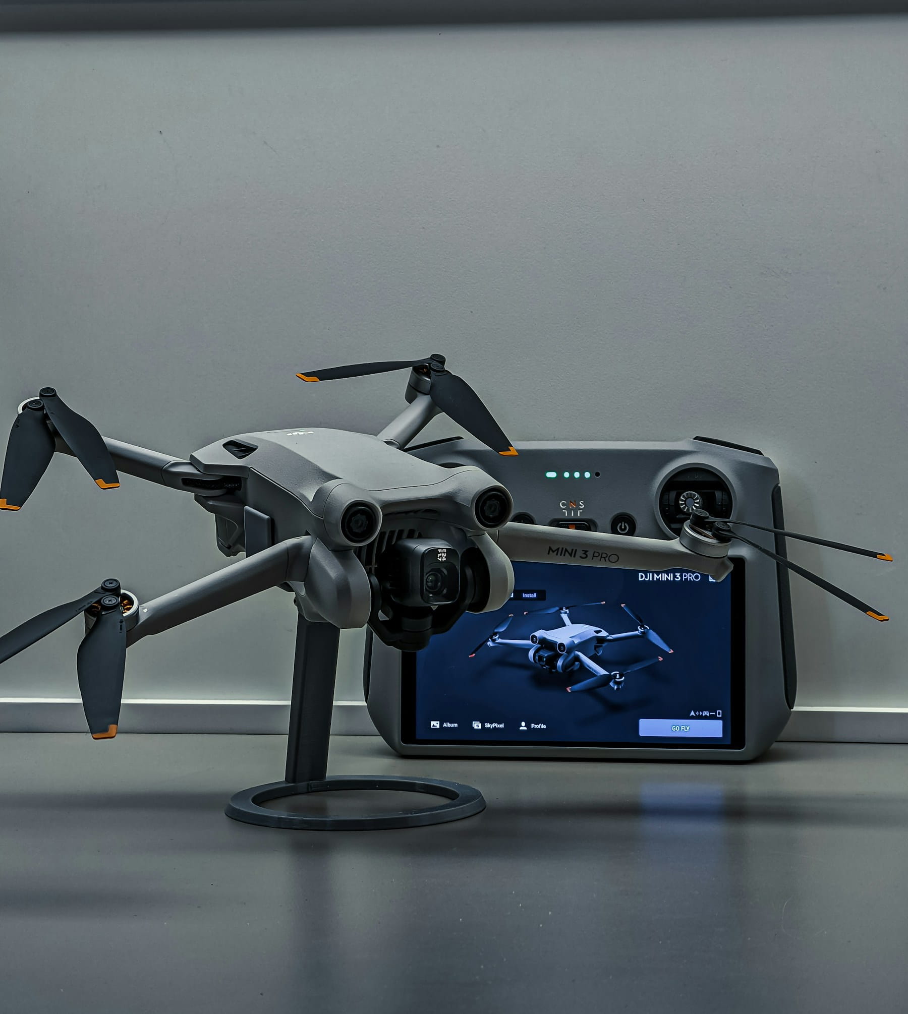
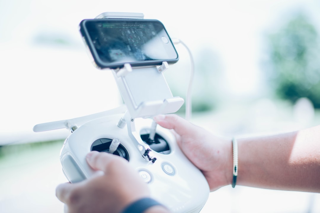
A drone tracking app does one of two completely different jobs. Either it listens for Remote ID broadcasts and shows you other people's aircraft flying nearby, or it tracks your own aircraft, pilots and flights in real time from a central dashboard. Both get marketed under the same search term, and the app store listings do nothing to separate them.
Most of the money wasted on this category gets wasted right there. An operations manager downloads a free "drone radar" expecting to see where their own crews are. A homeowner installs a fleet management platform expecting to identify the quadcopter over their garden. Neither gets what they wanted.
This guide separates the two categories, explains what each one can genuinely detect, and covers the parts the app store screenshots leave out: the real detection range, what your own broadcast reveals about you, and what happens to "live" tracking when the pilot drives into a valley with no signal.
Table of contents
- The two kinds of drone tracking app
- Remote ID scanner apps: what they can and cannot see
- What your own Remote ID broadcast tells everyone nearby
- Live tracking apps for your own fleet
- The connectivity problem nobody puts in the feature list
- Tracking the crew, not just the aircraft
- How the main drone tracking apps compare
- Tracking works differently in Europe
- How to choose a drone tracking app
- Frequently asked questions
The two kinds of drone tracking app
Drone tracking apps split into detection apps, which receive Remote ID radio broadcasts from aircraft near your phone, and operations apps, which stream telemetry from your own fleet over cellular data to a shared dashboard. They use different technology, answer different questions, and cannot substitute for each other.
There is also a third, quieter category: log-based tracking, where nothing is live at all and you reconstruct where aircraft went after the fact from downloaded flight records. Plenty of operators think they have live tracking when what they actually have is this.
| Approach | How it works | What it shows you | Range / coverage | Typical apps |
|---|---|---|---|---|
| Broadcast Remote ID receiver | Phone's Bluetooth and Wi-Fi radios pick up direct broadcasts | Any compliant drone within radio range, including strangers' | Hundreds of metres to a few km, line of sight | Drone Scanner, DroneScout pro, Air Sentinel |
| Network telemetry relay | Controller or companion app pushes position over LTE to a server | Only your own aircraft and crews, anywhere with signal | Unlimited where there is cellular coverage | DroneBundle, Airdata, DJI FlightHub, Aloft |
| Log-based reconstruction | Flight logs uploaded after landing | Where aircraft went, once they are back | Global, but not live | Airdata, most logbook tools |
| Dedicated hardware sensors | Fixed RF, radar or acoustic sensors on site | Non-compliant and non-broadcasting aircraft too | Site specific, needs installation | Counter-UAS systems |
If you run a commercial operation, you almost certainly need the second row. If you are worried about a drone over your property, you need the first. If you are protecting a stadium or a prison, only the fourth actually works, and that is a procurement project rather than an app download.
Remote ID scanner apps: what they can and cannot see
Remote ID scanner apps detect drones by receiving Bluetooth and Wi-Fi broadcasts that most registered aircraft in the US are required to transmit under 14 CFR Part 89. They are genuinely useful for situational awareness. They are not radar, and the gap between those two things is where every disappointed review comes from.
Here is what a scanner app does show. The aircraft's serial number or session ID, its live latitude, longitude and altitude, its velocity, an emergency status flag, and a time mark. On a standard Remote ID aircraft it also shows the position of the control station, which means you can see roughly where the pilot is standing. Our Remote ID explainer covers the message set in full.
Now the limits, in rough order of how often they surprise people.
Range is short and unpredictable. Remote ID rides on unlicensed spectrum under FCC Part 15 power limits. The FAA rule requires manufacturers to design the broadcasting device to maximise reception range but sets no minimum distance. Dedicated transmitter modules advertise up to around 3 km of Bluetooth range in ideal line-of-sight conditions. A phone in your pocket at ground level, with buildings and trees in the way, will often manage a few hundred metres. If a drone is a mile away, you will probably see nothing.
iPhones see less than Android phones. Android devices can receive Remote ID over both Bluetooth and Wi-Fi. iOS restricts app access to the raw Wi-Fi scanning that Wi-Fi Beacon and Wi-Fi NaN messages rely on, so iPhone users are effectively limited to Bluetooth. Two people standing side by side with the same app will see different aircraft. This is a platform limitation, not a bug in the app.
You cannot look up who owns the drone. The broadcast contains an identifier, not a name. Correlating that serial number or session ID with the registration database is restricted to the FAA and to authorised law enforcement and national security personnel on request. No consumer app has that lookup, and any app claiming to name the operator is guessing.
There is no national feed. People expect a FlightRadar24 for drones. It does not exist in the US, because the final Remote ID rule dropped the network-based reporting requirement and kept only direct broadcast. Nothing is aggregated centrally. A scanner app can only ever show you what your own phone's antenna hears right now.
Position accuracy is bounded. Reported geometric position must be accurate to within 100 feet of true position with 95 percent probability. That is fine for "there is a drone over the treeline." It is not fine for establishing that an aircraft crossed a specific property boundary.
If you are trying to identify a specific aircraft for a complaint or an investigation, read our guides on spotting drones at night before you rely on a scanner reading alone.
What your own Remote ID broadcast tells everyone nearby
Your Remote ID broadcast publishes your control station location to anyone within radio range who has a free scanner app. Most commercial operators have never thought about this, and it is the single most overlooked security consideration in the whole category.
Read § 89.315 and the distinction becomes concrete. A standard Remote ID unmanned aircraft, meaning one built with Remote ID in the airframe, broadcasts the live position of the control station. That updates as you move. A retrofit broadcast module, the kind you stick on an older airframe, broadcasts the take-off location instead, which is fixed for the duration of the flight.
Either way, a stranger with a phone can find your launch point.
For most jobs that is a non-issue. For some, it matters a lot:
- Utility and critical infrastructure inspections. Your launch position and flight track reveal which assets you are surveying and when. Anyone watching learns your inspection schedule for free.
- Public safety and covert operations. A suspect with a scanner app can see the aircraft overhead and where the operator is parked. Agencies planning drone as first responder programmes should treat this as a tactical planning input, not an afterthought.
- Commercially sensitive survey work. Construction and mining clients occasionally care that a competitor can watch you fly their site boundary.
- Lone pilots in remote locations. Broadcasting a precise, live location of a person standing alone with expensive equipment is a personal safety consideration worth naming out loud.
The practical mitigations are modest but real. Use a session ID rather than a serial number where your aircraft supports it, so the identifier does not persist across flights. Choose a launch point that is not your parked vehicle. Where the operation genuinely justifies it, apply for an exception, and note that operating from an FAA-Recognized Identification Area is the only routine way to fly without broadcasting at all. Whatever you decide, record the decision in your risk assessment so it survives staff turnover.
Live tracking apps for your own fleet
Fleet live tracking apps stream aircraft position and telemetry over cellular data to a shared dashboard, so that people who are not at the controls can see the flight while it is happening. This is the category commercial operators are usually searching for, and it has nothing to do with Remote ID.
The core capability is straightforward. The controller or a companion app on the ground station relays GPS position, altitude, speed, heading and battery state to a server. A manager, an incident commander or a client watches a map that updates every few seconds. When something goes wrong, the record already exists.
What separates a serious platform from a map with dots on it:
- Multi-aircraft view. One screen showing every active flight across every site. This is the whole point once you pass two simultaneous crews. Our guide to multi-drone operations management covers the coordination side.
- Telemetry depth. Position alone tells you where. Battery voltage, motor temperature, GPS quality and vibration tell you whether the flight is healthy. Flight data monitoring turns those streams into something actionable.
- Geofence and threshold alerts. Automatic notification when an aircraft leaves a defined boundary, drops below a battery floor, or exceeds an altitude ceiling.
- Continuity into the record. The live track should become the flight log without anyone retyping it. Automated flight log capture is what makes tracking worth paying for after the flight lands.
- Replay. Being able to replay the flight in 3D turns a live feed into evidence you can hand to a client or an insurer.
DroneBundle's live tracking does this end to end: telemetry streams during the flight, logs sync themselves from the controller afterwards, and each flight files itself to the right project based on where it took off. MobiLysis used it to run six pilots across seven locations for a Helsinki traffic study, uploading 200 flight logs and 74 hours of flight time, with stakeholders watching progress the whole time.
The connectivity problem nobody puts in the feature list
Live tracking depends entirely on cellular coverage at the pilot's location, and every vendor screenshot is taken in a city. This is the failure mode that catches operators out, and it appears in no comparison table anywhere.
Think about where drone work actually happens. Power line corridors. Rural solar farms. Mountain forestry blocks. Disaster zones where the local tower is down or saturated. These are precisely the places where "real-time visibility" quietly stops being real time.
Four questions to put to any vendor before you buy:
- What happens when the uplink drops? A good app queues telemetry locally and uploads it when signal returns, so the log is complete even though the live view was not. A bad one loses the gap forever.
- Does the dashboard show data age? A map that displays the last known position with no timestamp is actively dangerous. An operations manager will read a nine-minute-old dot as current. Insist on a visible "last updated" indicator and a stale-data state.
- What is the actual update interval? "Real time" covers anything from one second to sixty. For a manager watching progress, thirty seconds is fine. For an incident commander directing a search, it is not.
- How much data does a shift consume? Continuous telemetry plus any video stream on a metered field SIM adds up. Ask for a figure per flight hour.
The honest answer for most operations is a hybrid. Live tracking where there is coverage, offline-capable capture everywhere else, and a complete record either way. Operators still running the whole thing on shared spreadsheets should read why that breaks at scale first, because no tracking app fixes a broken record-keeping process.
Tracking the crew, not just the aircraft
The question that actually gets asked after an incident is not where the drone was, it is who was flying it and whether they were qualified to. Aircraft-only tracking cannot answer that, and it is the most common gap between what these apps offer and what operations managers need.
A regulator, an insurer or a client's lawyer will want to establish a chain: which job, which site, which pilot, which aircraft, which certification status on that date, which pre-flight checks were completed, which authorisation covered the airspace. A GPS track supplies one link in that chain.
Everything else has to come from the operations layer:
- Pilot assignment per flight, so the track is attributable to a named person rather than a device.
- Currency at the moment of flight, not just today. A Part 107 certificate that lapsed two weeks before the job is a very different conversation from one that lapsed yesterday.
- Airspace authorisation reference, tied to the flight. If the site sat in controlled airspace, the LAANC approval should be attached to the record, not sitting in someone's email.
- Pre-flight checklist completion, timestamped. Our pre-flight checklist template is the baseline.
- Incident linkage. If something went wrong, the incident report should point back at the exact flight track.
This is where a tracking feature inside an operations platform beats a standalone tracking app decisively. The track is one field on a record that already knows the pilot, the client, the aircraft and the compliance status. Getting there from a separate tracking tool means manual correlation, which nobody does reliably under pressure. That single record is what auditors typically ask for.
How the main drone tracking apps compare
The tools most commonly recommended for drone tracking fall into clearly different lanes, and comparing them head to head only makes sense within a lane.
| App / platform | Lane | Live own-fleet tracking | Detects others' drones | Compliance and crew records | Cost |
|---|---|---|---|---|---|
| Drone Scanner | Remote ID detection | No | Yes, broadcast range | No | Free |
| DroneScout pro | Remote ID detection | No | Yes, broadcast range | No | Free with paid tiers |
| Dronetag app | Detection plus device management | Own tagged devices | Yes | Flight logging and replay | Subscription |
| Airdata UAV | Flight data and streaming | Yes, plus live video | No | Partial, log focused | Per-drone subscription |
| DJI FlightHub | DJI ecosystem ops | Yes, DJI hardware only | No | Partial | Subscription, DJI locked |
| Aloft | Airspace and authorisation | Yes | No | Airspace focused | Subscription |
| DroneBundle | Full operations platform | Yes | No | Yes, end to end | From $149/mo, see pricing |
A few honest notes on that table. Airdata is excellent at what it does and its live streaming is genuinely strong for command-and-control work, but it is organised around flights and aircraft rather than around jobs, clients and crews. DJI FlightHub is the natural choice if your fleet is entirely DJI and you never expect to add another manufacturer. Aloft's strength is airspace, not fleet records. If you are weighing DroneBundle against a UK-oriented alternative, our Dronedesk comparison sets out the differences directly.
Nobody in the operations lane detects third-party drones, and nobody in the detection lane manages your crews. Expecting either to do the other's job is the mistake this article exists to prevent.
Tracking works differently in Europe
European drone tracking is built on network identification rather than broadcast alone, which means the technical picture is not the same as in the US. Operators working on both sides of the Atlantic need to plan for two different models.
Under EU rules, most class-marked drones carry direct remote identification similar in spirit to the FAA's broadcast requirement. The difference arrives with U-space. Regulation (EU) 2021/664 establishes a regulatory framework in which designated U-space airspace requires a network identification service, so aircraft positions are reported to service providers rather than only broadcast locally. That is a fundamentally different architecture, and over time it makes wide-area tracking of cooperative traffic genuinely possible in a way that US broadcast-only Remote ID does not.
Practically, that means a European operator flying in designated U-space airspace will be interacting with a U-space service provider, not just a phone app. EASA's civil drones portal tracks the rollout, which continues to be uneven across member states. Expect the operational burden to sit with your service provider integration rather than with a phone in the pilot's hand.
How to choose a drone tracking app
Pick based on which question you need answered, then on how the tracking connects to the rest of your records. Working through it in that order eliminates most of the shortlist immediately.
If you want to identify a drone flying near you: install a free Remote ID scanner. Drone Scanner or DroneScout pro on Android will show you the most. Set your expectations to a few hundred metres and accept that you will never learn the owner's name.
If you are a solo operator or a two-person outfit: you probably do not need live tracking at all. Automatic flight log capture plus a proper record of what you flew and for whom will serve you better than a live map nobody is watching. Start with automatic flight log capture and add tracking later.
If you run multiple crews across multiple sites: live tracking earns its keep the moment two flights happen simultaneously in different places. Prioritise the multi-aircraft view, the offline behaviour, and whether the track attaches to a job record automatically. Fleet management software is the broader category to evaluate.
If you are in public safety: update interval and video streaming matter more than anything else, and your Remote ID posture is a tactical decision. See our emergency response guide and the public safety industry page.
If you are protecting a site from drones: no phone app will do it. Non-compliant aircraft do not broadcast, and those are the ones you care about. That is a dedicated detection system procurement.
One last filter worth applying to every option. Ask what happens to the tracking data six months later, when a client disputes an invoice or an insurer asks for evidence. If the answer involves exporting a CSV and matching timestamps by hand, the app is not doing the job.
Frequently asked questions
Is there an app to track drones in the sky? Yes. Remote ID scanner apps such as Drone Scanner, DroneScout pro and Air Sentinel use your phone's Bluetooth and Wi-Fi radios to detect drones broadcasting Remote ID nearby. They typically work over hundreds of metres up to a few kilometres in clear line of sight, and Android phones detect more than iPhones because iOS restricts the Wi-Fi scanning these broadcasts partly rely on. There is no national feed equivalent to FlightRadar24 for drones in the US.
Can I find out who owns a drone flying over my house? No, not from an app. Remote ID broadcasts contain a serial number or session ID, not an owner's name. Matching that identifier to the registration database is limited to the FAA and to authorised law enforcement and national security personnel on request. A scanner app can show you the aircraft's position and, on standard Remote ID aircraft, the approximate location of the control station, which is often enough to find the pilot in person.
What is the best app for tracking my own drone flights? For a solo pilot, an automatic flight log app that captures every flight without manual entry is usually enough. For teams running several aircraft, a platform that combines live tracking with pilot records, maintenance and compliance in one place avoids the manual correlation work later. Standalone tracking tools show you where the aircraft went; operations platforms tell you who flew it, on which job, under which authorisation.
Does a drone tracking app work without internet? Detection apps do, because Remote ID is a direct radio broadcast that needs no network connection at all. Live fleet tracking does not, because it relays position over cellular data. The important question is what a fleet app does when signal drops. Good ones queue telemetry locally and upload the gap when coverage returns, so the flight record stays complete even though the live view paused.
Stop guessing where your crews are
If you have ever phoned a pilot mid-shift to ask whether they have finished a site, you already know what the actual problem is. It is not tracking. It is that the flight, the job, the client and the pilot's currency all live in different places, so nothing answers the question on its own.
DroneBundle puts them in one record. Live telemetry during the flight, logs that sync themselves from the controller afterwards, each flight filed to the right project automatically, and pilot certifications, maintenance status and client deliverables attached to the same job. When a client, a manager or an auditor asks what happened, the answer is already assembled.
Start a free 14-day trial with no credit card, or book a live demo and we will walk through tracking on your own operation. If you want to see the whole picture first, the features overview is the place to start.