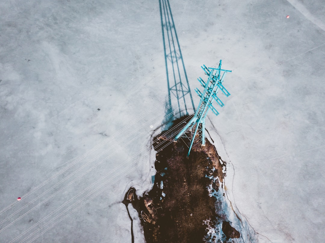
Drones for utility inspection are used to document transmission towers, distribution poles, substations, solar arrays and wind assets without de-energizing lines or putting a climber on structure. The flying is the easy part. What separates a utility drone program that survives its second year from one that quietly stops is whether the imagery it produces can be dropped into a NERC or state commission compliance file without an analyst rebuilding the context by hand.
Almost every guide on this topic is a sensor comparison. Thermal versus RGB, quadcopter versus fixed wing, EMI hardening, obstacle avoidance. Useful, and thoroughly covered elsewhere. This guide covers what happens after you pick the aircraft: the inspection cycles your data has to satisfy, the airspace rules that make linear corridors awkward, a brand new FAA proposal that changes who can fly near energy facilities, and the data-handling clauses hiding in every utility master service agreement.
Two very different buyers search this term
Two opposite organizations search "drones for utility inspection" and get shown the same drone spec sheets. Neither one is really asking about drones.
The first is the asset owner: a T&D reliability manager, a vegetation management lead, a substation asset engineer at an IOU, co-op or municipal utility. They already know what a hot splice looks like. Their question is whether an internal drone program produces evidence their compliance group will accept, and what it takes to stand one up across service territories.
The second is the drone service provider trying to win utility work. Their question is entirely different: how to get through prequalification, what the MSA will demand around data handling and insurance, how to schedule crews against a seasonal inspection calendar, and how to prove three years later that a specific pilot with a valid certificate flew a specific structure on a specific date.
Everything below is written for both, but the sections split cleanly. Asset owners should focus on inspection cycles, BVLOS and the in-house decision. Service providers should focus on prequalification, CEII handling and the operations layer. If you are a service provider more broadly, our guide to building a drone inspection business covers the commercial side that this post assumes.
What utility inspection drones actually cover
Utility drone inspection covers five asset families, and each has a different flight profile, payload and defect vocabulary. Lumping them together is the most common planning mistake.
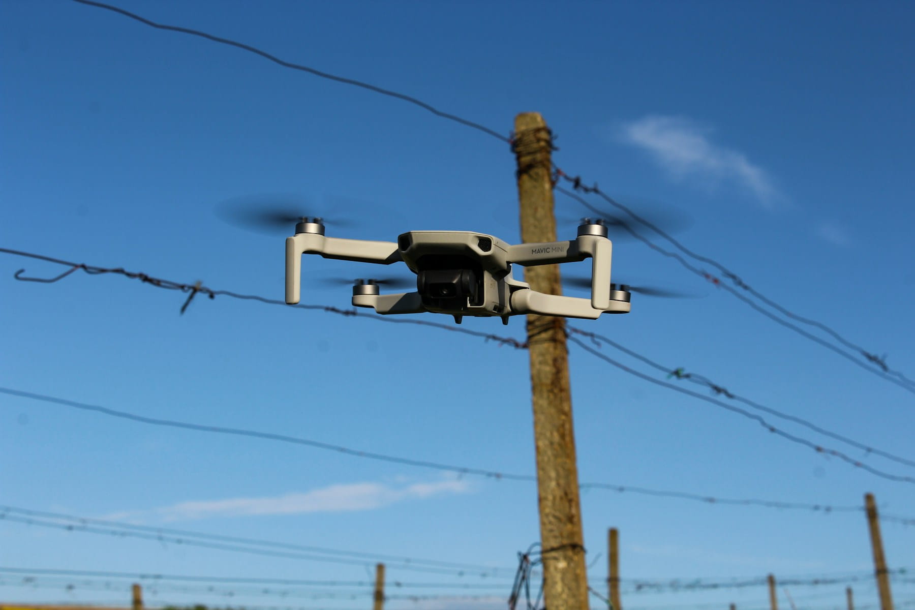
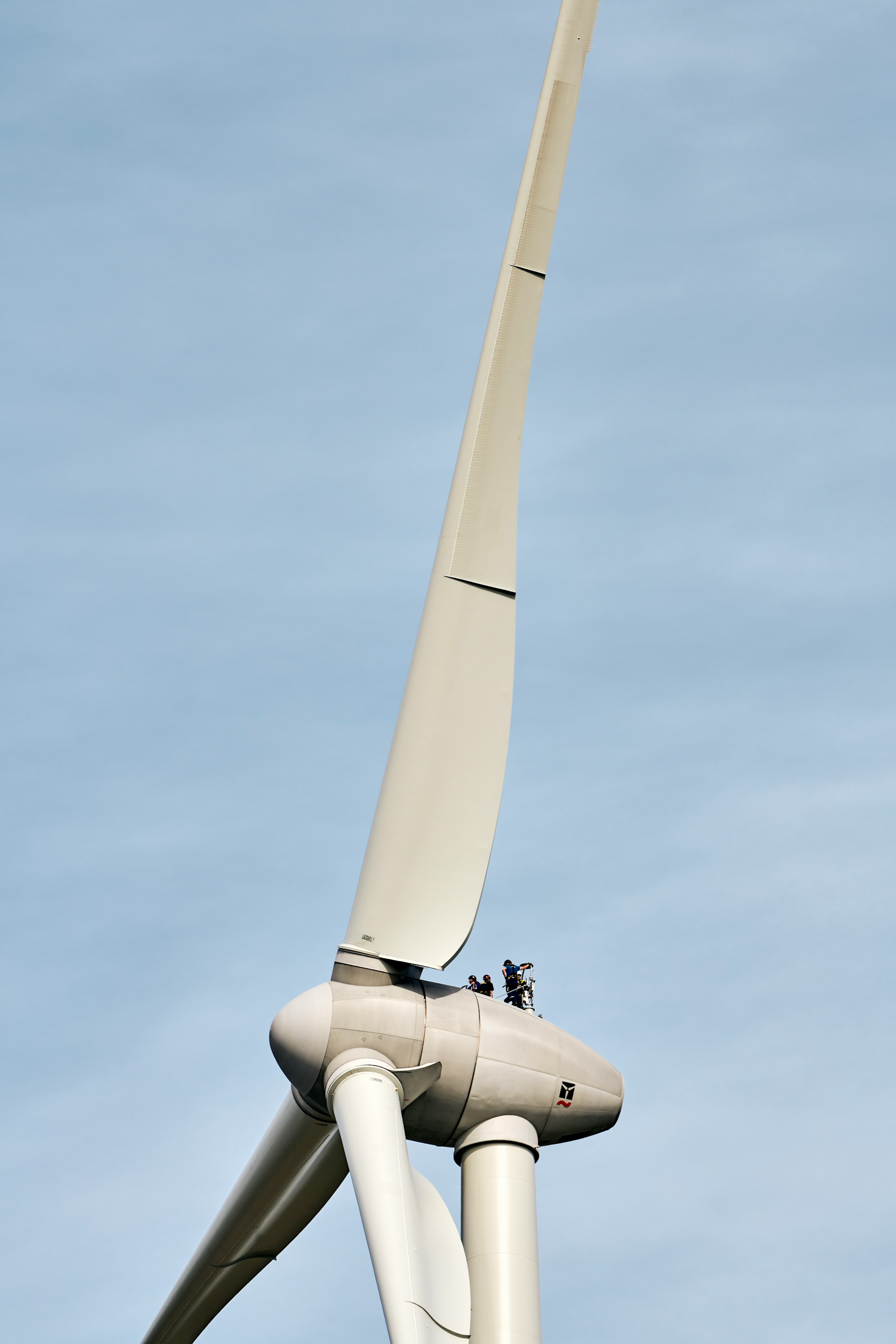
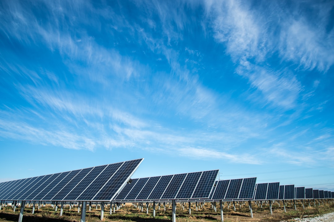
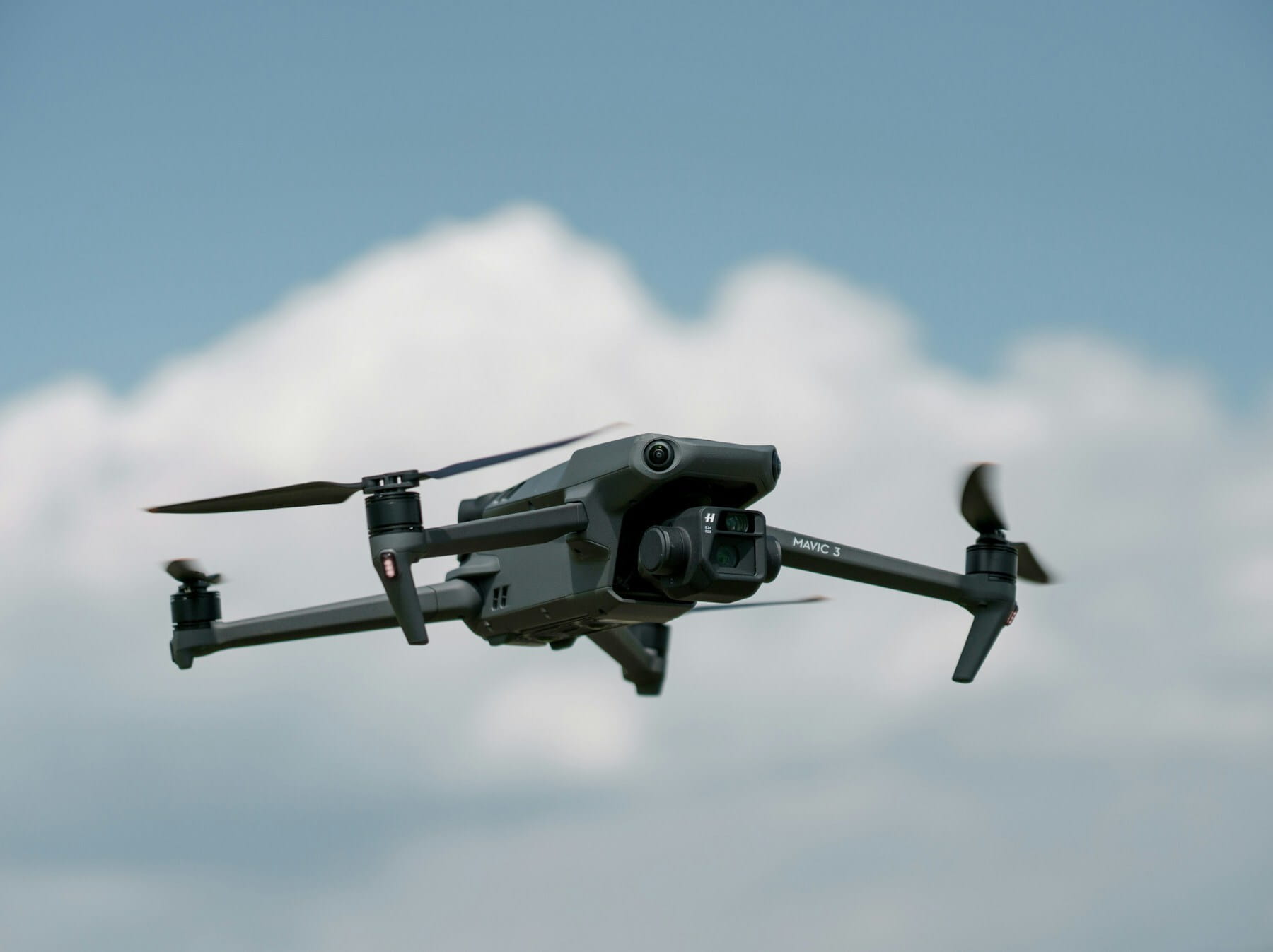
Transmission is structure-centric work: an orbit at conductor height capturing insulators, dampers, splices, shield wire attachment and corrosion, with a thermal pass to catch resistive joints under load. Capture patterns are covered in drones for power line inspections. Distribution is volume work, thousands of wood poles and transformers, where economics only work with a light aircraft and a repeatable template. Substations are dense, high-value and awkward: small footprint, a lot of energized steel, heavy electromagnetic interference, and a security posture that often makes approval harder than the flight. Generation and renewables split again into blade work, covered in drones for wind turbine inspections, and thermal-first PV work in our drone solar panel inspection guide. Adjacent linear assets round it out: pipelines plus the communication structures sharing utility rights of way, covered in drones for cell tower inspections.
Utilities also classify inspections by trigger, and your scheduling system has to understand the difference:
| Inspection type | Trigger | Typical cadence | Scheduling character |
|---|---|---|---|
| Patrol | Calendar | Annual to 3 years | Predictable, plan a year out |
| Detailed | Calendar or condition | 3 to 10 years | Predictable, heavier data |
| Enhanced / fire threat | Risk tier | Annual in high-risk tiers | Seasonal crunch |
| Event-based | Fault, outage, alarm | Within days | Interrupts everything |
| Storm assessment | Weather event | Within hours | Surge, mutual aid |
| Post-construction | Project milestone | Once | Fits the project calendar |
The first three you can staff for. The last three are why a utility drone program needs real dispatch rather than a shared calendar.
The inspection cycles your drone data has to satisfy
Drone imagery only creates value for a utility if it satisfies an inspection obligation that already exists. Two frameworks drive most of the North American work, and neither one mentions drones.
NERC FAC-003-5 is the transmission vegetation management standard, effective April 1, 2024, applying to overhead lines operated at 200 kV and above plus lower-voltage lines designated by a Planning Coordinator as critical to bulk system reliability. Requirement R6 obligates applicable Transmission Owners and Generator Owners to perform a Vegetation Inspection of 100% of applicable lines at least once per calendar year, with no more than 18 calendar months between inspections on the same right of way. Read the standard directly at NERC rather than relying on a vendor summary.
That "no more than 18 calendar months on the same ROW" clause is the one that makes drone programs administratively interesting. It is not enough to have flown everything once a year on average. You have to be able to produce, per right of way segment, the date of the last inspection. If your evidence is a folder of JPEGs named by capture date and a spreadsheet maintained by one person, an audit is going to be a bad week.
State commission rules stack on top. California's CPUC General Order 165 sets maximum inspection cycle lengths for distribution facilities along with condition rating, corrective-action scheduling and record-keeping requirements, and post-2019 wildfire mitigation programs pushed several California utilities into annual enhanced inspections in the highest fire threat tiers. Other states have their own orders with different cadences. If you operate across state lines, your inspection calendar is not one calendar.
Here is the practical consequence, and it is the part vendors skip. Drone-captured evidence has to carry four things to be usable in a compliance file:
- Asset identity. Which structure, by the utility's own asset ID, not by GPS coordinate alone.
- Date and inspector. Who flew, under what certificate, valid on that date.
- Completeness. Which segments were covered and which were skipped, with a reason for each skip.
- Finding disposition. What was flagged, its condition rating, and what happened next.
Anything less and the compliance group treats the flight as nice-to-have documentation rather than the inspection of record. Getting this right is what separates a program from a hobby. Our guide to quality assurance in drone inspections covers the review process that makes findings defensible and the packaging that survives an audit.
Part 107 constraints that shape utility work
All routine commercial utility drone inspection in the United States happens under 14 CFR Part 107, and three of its rules disproportionately shape how utility flights are planned.
Visual line of sight. 14 CFR 107.31 requires the remote pilot or a visual observer to keep the aircraft in unaided sight throughout the flight. On a linear asset this is the whole ballgame. A transmission corridor does not care that your aircraft has 30 minutes of endurance; you are leapfrogging the crew along the ROW every half mile or so, and the drive time between setups is often the dominant cost. If you need the full picture, start with what BVLOS means.
The 400-foot structure exception. 14 CFR 107.51(b) allows flight higher than 400 feet AGL when the aircraft stays within a 400-foot radius of a structure and does not go more than 400 feet above the structure's uppermost limit. Transmission towers count. So do wind turbines and stacks. This is one of the few genuinely useful carve-outs in Part 107 and a surprising number of utility crews do not know it exists, so they refuse legal work on tall structures or, worse, fly it without knowing why it was allowed.
Airspace authorization. Substations and generation sites have an inconvenient habit of sitting near airports, because both got built where the land was. LAANC handles most controlled-airspace approvals in near real time, but not every grid is enabled at the altitude you need, and further coordination takes days. Build the check into planning, not into the morning of. Our airspace planning tools show the authorization picture against your actual route.
Two more come up constantly on utility sites. Flight over people under 14 CFR 107.145 rarely helps you, because line crews on the ground are not "directly participating" in the drone operation simply by being briefed. And Remote ID is not optional; utility security teams increasingly monitor Remote ID broadcasts around their own facilities, so your own contracted flight can surface on a security dashboard as an unidentified intrusion if nobody told them you were coming.
A note on minimum approach distance. OSHA's minimum approach distance rules under 1910.269 are written about employees and conductive objects, not about aircraft, so they do not map cleanly to a drone hovering near a conductor. That gap gets filled by the utility's own UAS standard, which typically prescribes a standoff distance by voltage class. Ask for it in writing before the first flight. If the utility does not have one, that is a finding worth raising, and it belongs in your operational risk assessment.
BVLOS is where corridor economics break
Linear inspection is the single strongest economic case for beyond visual line of sight flight, and as of August 2026 it still requires a waiver. Part 108 remains a proposed rule.
The FAA published Normalizing Unmanned Aircraft Systems Beyond Visual Line of Sight Operations on August 7, 2025, and reopened the comment period in January 2026. There is no final rule. Anyone telling you Part 108 is in force is wrong, and it matters, because utility capital planning cycles are long enough that people build BVLOS assumptions into budgets years ahead. Our Part 108 overview tracks the actual state of play, and our BVLOS waiver guide covers the approval you need in the meantime.
Two things about the waiver path are worth knowing for utility work. Shielded operations, flying low and close to the very structures you are inspecting so that the infrastructure itself provides separation from crewed traffic, is the most approvable BVLOS profile and is a natural fit for corridors. And a national utility running corridors across many states may need a stack of separate approvals rather than one, which is administrative work that has to live somewhere.
Now the counterpoint nobody publishes. Drone corridor inspection is frequently quoted at $200 to $500 per mile against $1,200 to $1,600 per mile for helicopter patrol, and those numbers are real for targeted structure work. But EPRI has pointed out that for routine broad patrol, traditional methods can still be cheaper than a VLOS drone program precisely because of the line-of-sight restriction, and expects UAS to displace them once BVLOS is normalized. If your business case for drones rests on beating a helicopter over hundreds of miles of routine patrol under current rules, stress-test it. The stronger current case is detailed structure inspection, event-driven work, and anywhere the alternative is a climb.
Section 2209: the rule nobody is talking about yet
On May 6, 2026 the FAA published a proposed rule that would let critical infrastructure operators, energy facilities explicitly included, petition for drone flight restrictions over their own sites. It is the most consequential pending change for utility drone work and it is almost absent from the inspection guides currently ranking for this topic.
Designation-Restrict the Operation of Unmanned Aircraft in Close Proximity to a Fixed Site Facility, Docket FAA-2026-4558, would implement section 2209 of the 2016 FAA Extension, Safety and Security Act as a new 14 CFR Part 74. Comments closed July 6, 2026. It creates an Unmanned Aircraft Flight Restriction framework in two tiers: a Standard UAFR prohibiting most operations inside a boundary unless the operator has already met FAA safety and security requirements, and a Special UAFR with stricter controls. Applicants would have to show the facility is fixed, falls within a critical infrastructure category, has layered security including the ability to receive Remote ID broadcasts, and has a documented safety or security need. The FAA estimated roughly 9,000 facilities would go through the process over five years, out of around 125,000 that could theoretically qualify.
Cuts both ways, and both directions matter:
If you are a utility. You may gain a mechanism to restrict unauthorized drones over generation sites and major substations, which is something security teams have wanted since the first unexplained drone over a switchyard. You also inherit an application process with a security-posture bar, and you should expect your own contracted inspection flights to need an authorization pathway through whatever restriction you create. Design that pathway at the same time you design the restriction, or your reliability group will spend next spring locked out of its own assets.
If you are a service provider. Assume a growing number of the energy facilities you inspect will sit inside a restricted boundary, and that access will depend on meeting FAA-defined operator requirements plus the facility's own approval. The operators who can produce current certificates, aircraft records, Remote ID compliance and a clean incident history on demand will clear that bar quickly. Everyone else will lose weeks per site. Certification currency stops being paperwork and becomes market access, which is exactly why managing pilot certifications systematically is worth doing before you need it.
Watch the docket rather than the blogosphere. This is a proposal, not a rule, and proposals change.
Your inspection imagery is probably CEII
Detailed imagery of transmission and generation assets can qualify as Critical Energy/Electric Infrastructure Information, which carries real handling obligations that most drone service providers discover for the first time inside a signed contract.
CEII is defined at 18 CFR 388.113 as information about energy production, generation, transmission or distribution systems that could be useful to someone planning an attack, or whose incapacity would negatively affect security or public safety. It is exempt from mandatory FOIA disclosure. A high-resolution orbit of a 500 kV substation showing equipment layout, relay houses and access points is exactly what a utility's security group will treat as CEII, whether or not that acronym appears in your statement of work.
What this means operationally, and what utility MSAs increasingly require:
- Storage location and access control. Named individuals, not a shared Drive link emailed to whoever is around. Some contracts specify data residency.
- Subcontractor flow-down. If you subcontract capture in a remote territory, the handling terms follow the imagery.
- Deletion and return obligations. Many MSAs require destruction of raw imagery within a defined window after deliverable acceptance. That obligation conflicts directly with your instinct to keep everything forever, and with your insurer's interest in you retaining evidence. Get the conflict resolved in writing, once, rather than per project.
- Aircraft and cloud provenance. Utility security review of drone manufacturers and processing infrastructure is now routine. Know where your imagery physically lands, which is why data ownership is a procurement question and not an IT footnote.
And the uncomfortable one. Your imagery is evidence in both directions. It supports your invoice, your findings and your defense if a client disputes the scope of work. It is also discoverable. In wildfire and outage litigation, drone imagery showing a condition that was captured, flagged and not remediated is a strong document for the other side. That is not an argument for capturing less. It is an argument for a written retention policy, a clean separation between unaltered originals and annotated derivatives, and a finding-disposition trail that shows what happened after the flag. Pair that with the coverage questions in our guide to insurance and liability for commercial drone services.
Getting on the approved contractor list
Winning utility drone work is a prequalification exercise before it is a capability exercise. Utilities buy inspection services through the same contractor pipeline they use for line crews, and that pipeline was not designed with two-person drone companies in mind.
Expect most or all of the following:
- Third-party prequalification. ISNetworld, Avetta or a utility-run equivalent, with an annual questionnaire and fee.
- Safety statistics. TRIR, DART and an experience modification rate from your workers' compensation carrier. A brand new company has no history, which is its own problem; be ready to explain it rather than hide it.
- Insurance limits well above hobby level. Utility MSAs commonly specify general liability, aviation liability, auto, workers' compensation and umbrella limits, plus additional-insured and waiver-of-subrogation endorsements. Read the certificate requirements before you quote.
- A written UAS operations manual. Not a two-page checklist. Emergency procedures, maintenance program, training and currency standards, incident reporting, data handling.
- Site-specific safety training. Utility-run electrical awareness training, sometimes per operating company.
- Background checks and badging for substation and generation access.
None of that is unreasonable. All of it is administrative load that arrives before you have earned a dollar, and it is why so many capable pilots never break into utility work. The operators who get through it are the ones who can produce documentation on demand instead of assembling it per bid. Keeping certificates, insurance certificates, manuals and training records in one system with expiry alerts turns a two-week scramble into an afternoon. The same prequalification muscle transfers to adjacent verticals; see our utilities and energy page and telecom and tower inspections.
Storm response and the surge workflow
Post-event damage assessment is where utility drone programs prove their value, and where the most compliance mistakes happen. It is also completely absent from equipment-focused guides.
The pattern is familiar to anyone who has worked a restoration. A major event hits, damage assessment becomes the bottleneck, mutual-aid crews arrive from three states, and nobody can say which circuits have been covered. Two airspace realities apply.
First, disaster areas frequently get temporary flight restrictions, and manned aircraft doing their own damage assessment are working the same low airspace. Flying into a TFR during a restoration is a fast route to enforcement and, far worse, a mid-air risk. Know how to read one before the season starts, not during the callout.
Second, the FAA's Special Governmental Interest process exists for exactly this. SGI covers time-critical operations that cannot be done quickly or conveniently by other means, and the FAA explicitly lists critical infrastructure restoration among qualifying activities. You submit an emergency operation request to the System Operations Support Center and, if approved, receive an amendment to your certificate or COA authorizing the specific operation. This is not something you figure out at 3 a.m. during an ice storm. Know the form and have your certificate details ready before the season. Our guide to drones for emergency response covers the broader activation workflow.
The operational side of surge is crew tracking. Twenty pilots you have never met, spread across a torn-up service territory, each producing imagery that has to land against the right circuit. That is a dispatch and records problem, the same one MobiLysis solved on a much calmer project coordinating six pilots across seven locations and 200 flight logs, documented in their case study.
In-house program or contracted service
For most utilities the break-even between building an internal drone program and contracting one is administration, not equipment. Aircraft are the cheapest line item in the decision.
Build in-house when demand is continuous rather than seasonal, when data sensitivity makes external handling painful, when you have field staff who can absorb pilot duties without abandoning their day jobs, and when you can name the person accountable. Contract when demand is spiky, when you need LiDAR occasionally rather than constantly, when you are covering territory you do not want to staff, or when you are still testing whether drone data changes any decision you make.
The failure mode is the accidental middle path, and it is remarkably consistent. A utility buys four aircraft, certifies six field engineers, assigns program ownership to nobody in particular, and flights taper off within two quarters. The aircraft sit in a closet, the certificates lapse, and someone concludes drones did not work. Drones worked fine. The program had no owner.
If you build, three things need to be in somebody's actual job description: currency and training, maintenance records, and the link between captured imagery and the asset system of record. Our guide to drone fleet management covers the first two. The third quietly decides whether the program survives.
What a utility drone inspection program costs
A functioning utility drone inspection program costs far more in staff time and software than in aircraft, which is why equipment-led budgets consistently come in under and then fail.
| Cost element | Typical range | Notes |
|---|---|---|
| Inspection-grade aircraft with zoom and thermal | $10,000 to $35,000 each | Enterprise-class multirotor with dual payload |
| LiDAR payload | $25,000 to $120,000 | Only if clearance modelling is in scope |
| Part 107 certification per pilot | Under $200 | Knowledge test fee; renewal is a free online course |
| Utility-specific safety training and badging | $500 to $3,000 per pilot | Per operating company in some cases |
| Prequalification (ISNetworld, Avetta) | $500 to $2,500 per year | Annual renewal |
| Insurance meeting a utility MSA | $2,000 to $12,000 per year | Higher limits and endorsements drive this |
| Processing and analytics software | $200 to $1,000+ per seat monthly | Photogrammetry, defect detection |
| Operations and compliance platform | $149 to $999 monthly | DroneBundle Starter through Business, see pricing |
| Program administration | 0.25 to 1 FTE | The line item that gets forgotten |
One caveat on the per-mile figures floating around. Drone corridor work at $200 to $500 per mile against $1,200 to $1,600 for helicopter patrol is fair for targeted detailed inspection, not for routine broad patrol under VLOS constraints. And thermal work carries a scheduling cost no quote shows: usable temperature deltas only appear under specific conditions and load states, which compresses your flying window far more than weather alone. See thermal drone imaging for how those windows actually behave in the field.
The operations layer under the imagery
Utility drone programs buy from two categories of vendor, not one, and confusing them is the most expensive mistake in the evaluation. Almost every guide on this topic reviews only the first.
Layer one is capture. Aircraft, payloads, automated flight and docking.
Layer two is processing. Photogrammetry, point clouds, AI defect detection, condition scoring. Covered in our drone inspection software guide.
Layer three is operations. Who is flying which segment next Tuesday, whether their certificate is current, whether the weather window holds, which right of way is approaching its 18-month limit, where the flight log for structure 4471 from March 2024 is, whether the client got the report, and whether anyone invoiced for it.
Layer three is where drone programs actually fail, and it is the layer nobody sells against. As the Director of Operations at Legacy Technology Lab put it while scaling toward 20,000-plus commercial inspections in a year, most drone tools focus on flight planning or data storage rather than on running the operation. Their case study is roofing rather than utilities, but the shape of the problem is identical: high inspection volume, documentation tied to specific assets, and inspection history that has to survive repeat visits years apart.
DroneBundle is layer three. Corridor and structure missions planned against live airspace and weather. Certificates, insurance and training records tracked with expiry reminders, so a lapsed certificate is flagged before a crew goes to a substation. Flight logs synced from the controller and bound automatically to the right asset, which is the difference between having imagery and having evidence. An asset registry for structures, substations and turbines, so findings attach to the utility's own IDs rather than to coordinates. Recurring inspection scheduling tied to maintenance cycles. A client portal so an asset manager can pull findings without emailing you.
Keep your photogrammetry and defect detection tools. Model quality is not the problem. Run them on top of an operations record that can answer an auditor's questions three years later.
Frequently asked questions
Do you need a Part 107 license to inspect power lines with a drone?
Yes. Every drone flight in the United States that furthers a business purpose requires a Part 107 remote pilot certificate, including a utility employee flying their own employer's assets. There is no exemption for internal work, and recreational rules never cover business use. Most utilities then layer their own standards on top: site-specific electrical safety training, a written UAS operations manual, minimum insurance limits and badging for substation access. Budget for the utility's requirements as well as the FAA's, because they usually take longer to satisfy.
Can drones inspect energized power lines without an outage?
Yes, and avoiding outages is one of the main reasons utilities adopted drones. Inspections are flown with the line in service, which also makes thermal imaging more useful because resistive faults only show a temperature rise under load. The limiting factor is standoff distance. OSHA's minimum approach distance tables are written about employees and conductive objects rather than aircraft, so utilities set their own UAS standoff distances by voltage class in internal standards. Get that document before the first flight rather than improvising a distance in the field.
How much does a drone power line inspection cost per mile?
Published figures put drone corridor inspection at roughly $200 to $500 per mile against $1,200 to $1,600 per mile for helicopter patrol, but it depends heavily on inspection type. Detailed structure-level inspection strongly favors drones. Routine broad patrol over long distances is a closer call under current visual-line-of-sight rules, since crews have to leapfrog along the right of way, and EPRI has noted traditional methods can still be cheaper for that use case until BVLOS is normalized. Price by asset count and inspection depth, not by mile alone.
Can drones fly beyond visual line of sight along a transmission corridor?
Only with an FAA waiver as of August 2026. Part 108, the proposed rule that would create a standard BVLOS pathway, was published as an NPRM on August 7, 2025 with the comment period reopened in January 2026, and no final rule has been issued. Until it is, corridor BVLOS requires an FAA waiver, and shielded operations flown low and close to the infrastructure itself are the most approvable profile. Operators covering multiple states may need several separate approvals rather than one national authorization.
Stop losing inspection cycles, certificates and findings
If your photogrammetry stack produces clean point clouds and your defect model catches hot splices, keep both. Detection is not your problem.
Your problem is the right of way that quietly passed 18 months since its last inspection because it lived on one engineer's spreadsheet. The pilot whose certificate lapsed two weeks before a substation badge check. The flagged insulator from March 2024 that nobody can prove reached the work management system. The storm week where twenty mutual-aid pilots produced four hundred flights and no one could say which circuits were covered.
DroneBundle is the operations layer under utility inspection work. Asset registries for structures and substations, recurring inspection scheduling tied to maintenance cycles, certificate and insurance expiry reminders, weather and airspace checks before mobilization, flight logs bound automatically to the right asset, findings pinned to location, exportable compliance reports, and a client portal so asset managers can self-serve.
Start a free trial and build your first corridor inspection project with recurring cycles, or book a live demo and we will walk a real multi-crew utility inspection workflow with you.