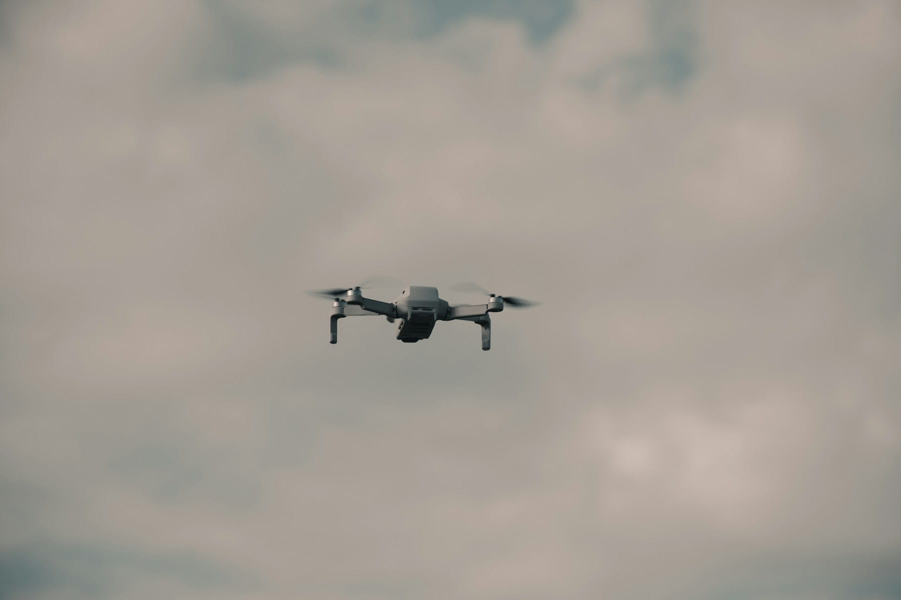
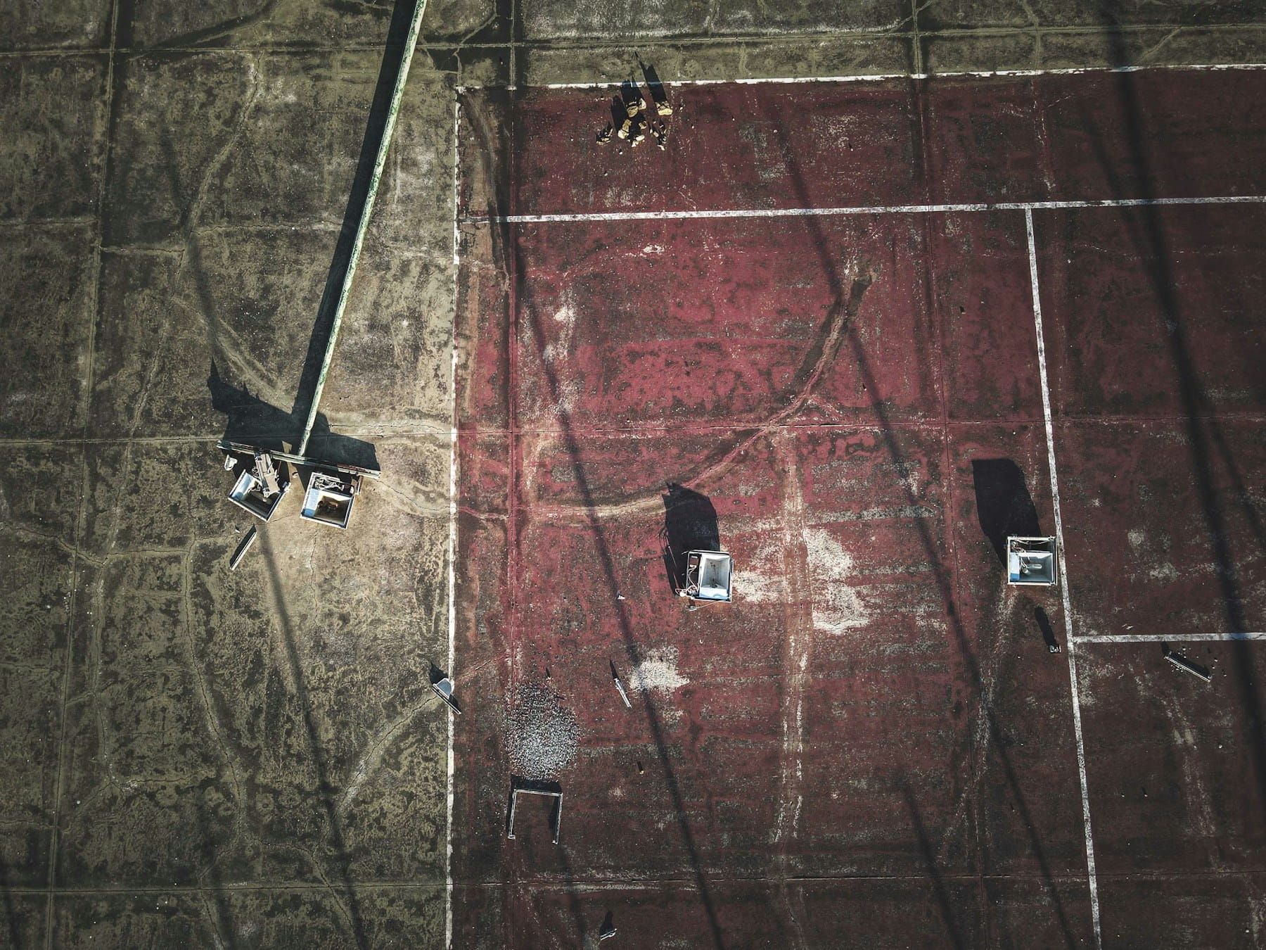
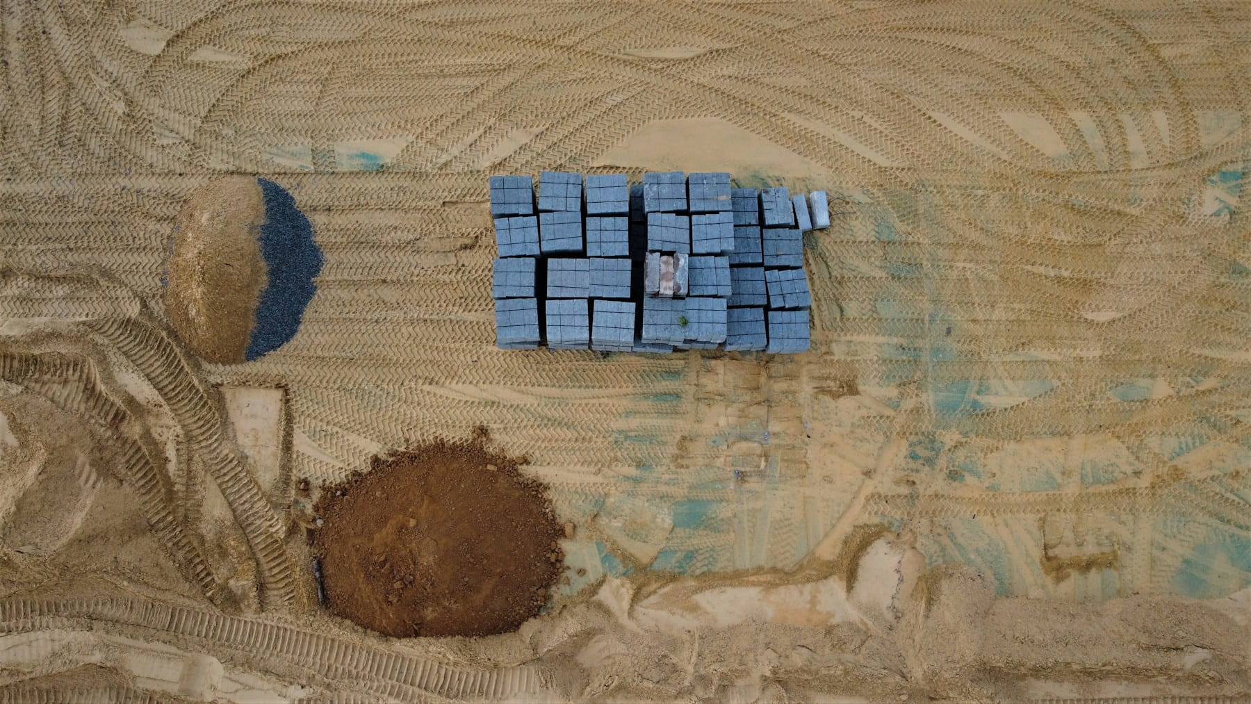
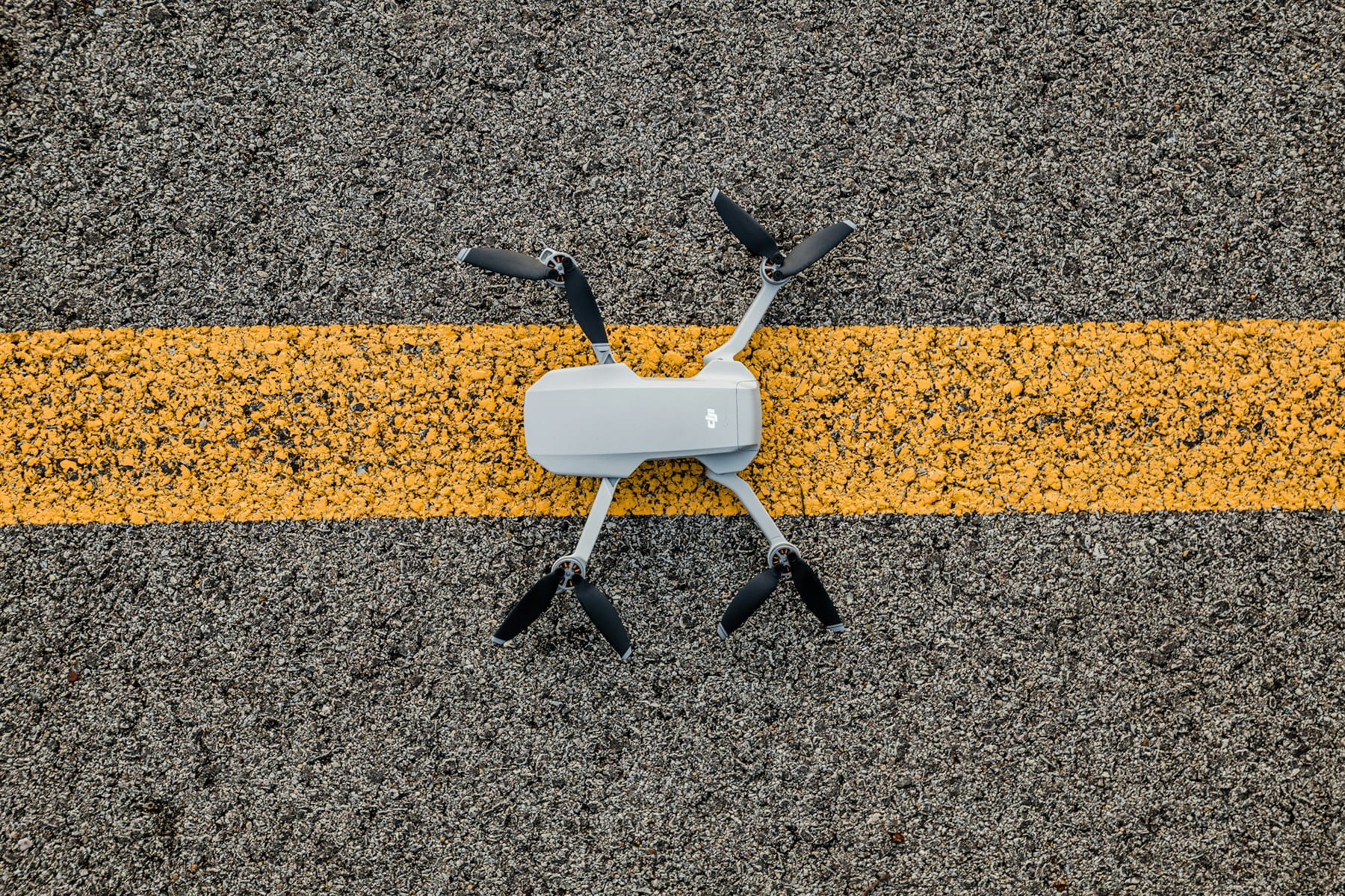
What is Quality Assurance in Drone Inspections?
Quality assurance in drone inspections encompasses systematic protocols, standardized data collection methodologies, and documentation procedures that ensure unmanned aerial systems deliver consistent, accurate, and actionable inspection data for construction, infrastructure, and asset management applications. These QA processes include pre-flight planning, safety protocols, sensor calibration, systematic flight patterns, data validation, and integration with project management systems to maintain inspection reliability and regulatory compliance.
The construction industry has witnessed a significant transformation in how quality control is conducted on job sites. Traditional methods of climbing scaffolding, using cherry pickers, or sending inspectors into potentially dangerous areas are rapidly being supplemented—and sometimes replaced—by unmanned aerial systems. This shift represents more than just a technological upgrade; it's a fundamental change in how project managers approach safety, accuracy, and documentation.
Drone inspections have proven particularly valuable because they address three persistent challenges in construction quality assurance: accessibility, safety, and documentation consistency. Falls from dangerous heights account for more than one-third of fatal construction accidents, making drone-based inspections a critical safety improvement. When you're dealing with a 20-story building or inspecting the underside of a bridge, traditional methods can be time-consuming, expensive, and risky. Drones for construction solve this problem by providing detailed visual access to areas that would otherwise require extensive setup time or pose safety concerns.
But here's where it gets interesting (and where many operations stumble): simply flying a drone around a construction site doesn't automatically guarantee quality results. The difference between amateur footage and professional-grade inspection data lies in understanding how to systematically collect, analyze, and act on the information gathered.
Table of contents
- The foundations of drone-based quality assurance
- Planning and preparation protocols
- Safety considerations and risk mitigation
- Data collection methodologies
- Equipment selection and configuration
- Integration with existing quality management systems
- Documentation and reporting standards
- Common challenges and solutions
- Regulatory compliance requirements
- Cost analysis and ROI considerations
- Frequently asked questions
- Implementation considerations
- In summary
The foundations of drone-based quality assurance
Quality assurance in drone inspections starts with understanding what you're actually trying to achieve. Are you monitoring construction progress against project timelines? Identifying potential defects before they become expensive problems? Documenting compliance with building codes? Each objective requires a different approach to data collection and analysis.
The most effective drone inspection programs focus on early defect detection. When structural issues are identified during the construction phase rather than after completion, the cost savings can be substantial. A misaligned structural element caught early might require repositioning a few beams. The same issue discovered months later could necessitate partial demolition and reconstruction.
Real-time monitoring capabilities provide project managers with unprecedented visibility into construction activities. Instead of waiting for weekly progress reports or monthly inspections, drone data can provide daily updates on project status. This level of detail allows for proactive decision-making rather than reactive problem-solving.
The integration of drone data with project management systems creates a feedback loop that improves both construction quality and project efficiency. When inspection findings are immediately available to field supervisors, corrective actions can be implemented before work progresses to the next phase.
Planning and preparation protocols
Successful drone inspections begin long before the aircraft leaves the ground. The planning phase determines whether the resulting data will provide actionable insights or merely expensive aerial photography.
Site assessment forms the foundation of effective inspection planning. This involves identifying potential hazards, obstacles, and areas of particular interest. A thorough risk assessment considers not just physical obstacles like cranes or power lines, but also operational factors such as active construction zones where drone flights might interfere with ongoing work.
Flight planning requires balancing multiple variables: coverage area, image resolution, flight time limitations, and weather conditions. The goal is to capture complete, high-quality data while minimizing flight time and battery usage. This often means developing systematic flight patterns that ensure consistent overlap between images and uniform lighting conditions.
Equipment preparation extends beyond checking battery levels and memory card capacity. Sensor calibration, camera settings optimization, and backup equipment readiness all contribute to mission success. A thorough pre-flight checklist ensures the most frustrating inspection failures—when technical issues prevent data collection—can be avoided before equipment physically fails.
Permission and authorization requirements vary significantly based on location, airspace classification, and project scope. Some inspections require coordination with air traffic control, while others may need property owner consent or local authority approval. Understanding FAA drone regulations and starting the permitting process early prevents delays when inspection deadlines approach.
Safety considerations and risk mitigation
Safety protocols for drone inspections must address both aviation safety and construction site safety. The intersection of these two domains creates unique challenges that require careful consideration.
Visual line of sight maintenance becomes complicated on active construction sites where obstacles frequently change position. A crane that wasn't present during flight planning can suddenly appear, blocking the operator's view of the aircraft. This requires flexible flight planning and constant communication between drone operators and construction site personnel.
Communication protocols prevent conflicts between drone operations and other site activities. When multiple contractors are working simultaneously, coordinating drone flights requires advance notification and sometimes temporary work stoppages in specific areas. The cost of these work stoppages must be weighed against the value of the inspection data.
Weather monitoring for construction site drone operations involves more than checking wind speed and precipitation. Temperature variations can affect equipment performance, particularly battery life and sensor accuracy. Dust and debris from construction activities can impact visibility and equipment function even in otherwise favorable weather conditions.
Emergency procedures must account for construction site-specific scenarios. A standard emergency landing procedure might not be appropriate when the landing area contains heavy machinery or active concrete pours. Site-specific emergency protocols should be developed and practiced before beginning inspection operations.
Data collection methodologies
The quality of inspection results depends heavily on the systematic collection of relevant data. Random or unstructured data collection rarely produces actionable insights, regardless of equipment quality.
Systematic flight patterns ensure consistent coverage and data quality. Grid patterns work well for general progress monitoring, while orbital flights around specific structures provide detailed views of potential problem areas. The choice of flight pattern should align with inspection objectives rather than simply following standard procedures.
Image overlap requirements vary based on intended data usage. Simple visual documentation might require minimal overlap, while photogrammetric reconstruction needs 60-80% overlap between adjacent images. Understanding these requirements prevents both insufficient data collection and unnecessary flight time.
Altitude optimization balances image resolution with coverage area. Lower altitudes provide higher resolution but require more flight time to cover the same area. Higher altitudes cover more ground quickly but may miss critical details. The optimal altitude depends on the specific features being inspected and the required level of detail.
Multiple sensor integration can provide complementary data types. Visible light cameras capture general conditions, thermal sensors identify temperature anomalies, and LiDAR systems create precise 3D measurements. Using multiple sensor types during a single flight maximizes data collection efficiency.
Quality control during data collection prevents the discovery of inadequate data after returning to the office. Regular sample image review during flight operations allows for immediate adjustments to camera settings or flight parameters if data quality issues are identified.
Equipment selection and configuration
Choosing appropriate equipment for drone inspections involves balancing performance requirements with operational constraints. The "best" drone for one inspection scenario might be completely inappropriate for another.
Platform selection depends on mission requirements rather than marketing specifications. Multi-rotor aircraft provide precise positioning and hovering capability, making them ideal for detailed inspections of specific structures. Fixed-wing platforms cover large areas efficiently but lack the precision positioning needed for close-up structural analysis.
Camera and sensor selection should align with data requirements. High-resolution cameras capture fine details but generate large file sizes that can overwhelm data processing workflows. Thermal sensors identify temperature anomalies but may not provide sufficient visual detail for structural assessment.
Payload capacity limitations affect not just sensor selection but also flight time and operational flexibility. Adding multiple sensors or higher-resolution cameras reduces flight time, potentially requiring more flights to complete the same inspection area.
Battery management strategies extend beyond simply carrying spare batteries. Different battery types perform differently under various temperature and usage conditions. Cold weather operations may require battery warming systems, while extended flights might benefit from quick-charging capabilities.
Data storage and transfer considerations become critical during large-scale inspections. High-resolution imagery and sensor data can quickly overwhelm local storage capacity. Cloud-based storage solutions provide scalability but may require reliable internet connectivity that isn't always available on construction sites.
Integration with existing quality management systems
The value of drone inspection data increases dramatically when it integrates smoothly with existing project management and quality assurance systems. Isolated data silos provide limited benefit regardless of data quality.
Building Information Modeling (BIM) integration allows drone mapping data to be overlaid with design specifications, enabling direct comparison between as-built conditions and original plans. This comparison can identify deviations early in the construction process when corrections are still cost-effective.
Project management system integration ensures that inspection findings reach the appropriate decision-makers promptly. Automated alerts based on inspection results can trigger corrective actions without waiting for manual report review and distribution.
Documentation standards must align with regulatory requirements and organizational policies. ASTM has developed standards specifically for visual inspection of building facades using drones, establishing procedures for conducting inspections and documenting findings. Some inspections require specific image formats, annotation standards, or chain-of-custody procedures. Understanding these requirements before data collection prevents compliance issues later.
Data archival and retrieval systems support both immediate decision-making and long-term asset management. Well-organized inspection data becomes valuable for future projects, warranty claims, and maintenance planning.
Documentation and reporting standards
Effective documentation transforms raw drone data into actionable information for project stakeholders. The gap between data collection and decision-making is bridged through clear, consistent reporting.
Image annotation and markup standards ensure that inspection findings are clearly communicated. Standardized symbols, color coding, and annotation practices prevent misinterpretation of inspection results. When multiple inspectors are involved, consistent annotation standards become critical for maintaining data quality.
Report formatting should accommodate different stakeholder needs. Field supervisors need concise summaries with clear action items, while project managers may require detailed analysis with cost implications. Regulatory inspectors might need specific documentation formats that comply with building code requirements.
Time-stamped documentation creates an audit trail that supports quality assurance processes. When defects are identified and corrected, time-stamped records demonstrate due diligence in addressing problems promptly.
Geographic referencing ensures that inspection findings can be located precisely on construction sites. GPS coordinates, site reference markers, or BIM integration help field personnel locate identified issues quickly and accurately.
Common challenges and solutions
Drone inspection programs face predictable challenges that can be addressed through proper planning and operational procedures. Understanding these challenges helps organizations develop effective mitigation strategies.
Weather dependency affects both flight safety and data quality. Wind conditions impact flight stability, while lighting conditions affect image quality. Developing weather criteria for flight operations helps maintain consistent data quality while ensuring safe operations.
Airspace restrictions can limit flight operations, particularly near airports or in urban areas. Understanding local airspace requirements and maintaining current authorization documents prevents operational delays.
Data processing bottlenecks often emerge when inspection programs scale up. Manual image review and analysis become time-consuming as data volumes increase. Automated analysis tools and standardized workflows help manage increasing data volumes efficiently.
Equipment maintenance requirements increase with operational tempo. Regular maintenance schedules, spare parts inventory, and repair procedures prevent equipment failures from disrupting inspection schedules.
Regulatory compliance requirements
Compliance with aviation regulations forms the foundation of legal drone operations. These requirements vary by location and operational scope, making ongoing education and compliance documentation important.
Part 107 operations in the United States require certified pilots and adherence to operational limitations. These limitations include altitude restrictions, visual line of sight requirements, and prohibited operations over people. For construction site inspections, pilots may exceed 400 feet altitude when remaining within 400 feet of tall structures. Understanding these limitations during planning prevents operational violations.
International operations introduce additional complexity through varying national regulations. Some countries require local operator certification, while others restrict foreign-operated aircraft entirely. Research into local requirements should begin early in project planning.
Privacy and data protection regulations affect both data collection and storage practices. Some jurisdictions restrict aerial photography of private property, while others have specific requirements for data handling and storage.
Cost analysis and ROI considerations
The financial justification for drone inspection programs requires understanding both direct costs and indirect benefits. While equipment and operational costs are easily quantified, the value of improved safety and early defect detection can be more difficult to calculate.
Equipment costs include initial purchase price, ongoing maintenance, insurance, and periodic upgrades. These costs must be amortized across expected usage levels to determine per-inspection costs.
Operational costs encompass pilot time, travel expenses, data processing, and report generation. These costs scale with inspection frequency and complexity, making standardized procedures important for cost control.
Benefit quantification includes time savings, safety improvements, and quality enhancements. Industry studies confirm that UAV-based inspections reduce inspection time by up to 70% and lower costs by 40-60% compared to traditional manual inspections. When drone inspections prevent a single serious safety incident or identify defects before they require expensive corrections, the ROI can be substantial.
Comparison with traditional inspection methods provides context for cost-benefit analysis. Manual inspections might have lower equipment costs but higher labor costs and safety risks. Comprehensive cost analysis includes all relevant factors, not just obvious expenses.
Frequently asked questions
What equipment is required for professional construction drone inspections?
Professional construction inspections require a commercial-grade drone platform with stable flight characteristics, high-resolution cameras (typically 20MP or higher), gimbal stabilization, and sufficient battery capacity for extended missions. Additional equipment includes thermal imaging sensors for identifying temperature anomalies, spare batteries, calibrated monitors for image review, and data storage solutions. Proper equipment management ensures all sensors and accessories remain calibrated and mission-ready. Remote pilots must hold FAA Part 107 certification and maintain current compliance documentation.
How do drone inspections improve construction quality assurance?
Drone inspections improve quality assurance through early defect detection, consistent documentation, and enhanced safety. They provide detailed visual access to areas that would otherwise require scaffolding or other expensive access equipment. Systematic data collection enables direct comparison between as-built conditions and design specifications, identifying deviations when corrections are still cost-effective. The technology reduces inspection time by up to 70% while providing more comprehensive coverage than traditional manual methods.
What are the key safety considerations for construction site drone operations?
Construction site drone operations require coordination with active work zones, weather monitoring that accounts for dust and debris, and flexible flight planning for changing site conditions. Safety protocols must address both aviation safety and construction site safety, including visual line of sight maintenance around obstacles like cranes, communication with contractors, and site-specific emergency procedures. Pre-flight checklists and risk assessments prevent technical failures that could compromise safety or data quality.
How should drone inspection data be documented for regulatory compliance?
Regulatory compliance requires time-stamped documentation, geographic referencing (GPS coordinates or BIM integration), standardized annotation practices, and archival systems that support audit trails. Documentation must align with ASTM standards for facade inspections and FAA Part 107 operational requirements. Well-organized inspection data becomes valuable for warranty claims, maintenance planning, and future projects while demonstrating due diligence in addressing identified issues.
Implementation considerations
Organizations planning to implement drone inspection programs should begin with clearly defined objectives and realistic scope. Start with pilot projects on smaller sites or specific inspection types to develop standard operating procedures before scaling to full operational deployment. This phased approach allows operators to refine workflows, identify equipment requirements, and build team expertise without the pressure of critical project deadlines.
Personnel training extends beyond FAA Part 107 certification to include site-specific safety protocols, equipment operation, and data management procedures. Successful programs develop internal champions who understand both construction processes and drone technology, bridging the gap between field operations and data analysis. Consider partnering with experienced operators during initial implementations to accelerate learning and avoid common mistakes.
Technology selection should prioritize integration capabilities over individual feature sets. Equipment that shares data seamlessly with existing project management systems provides greater value than standalone tools with impressive specifications. Evaluate data processing workflows early in the planning process—the most sophisticated sensors provide limited benefit if collected data overwhelms analysis capacity.
In summary
Quality assurance in drone inspections relies on systematic protocols that transform unmanned aerial systems from simple photography platforms into reliable inspection tools. The technology addresses persistent construction challenges through improved safety, early defect detection, and comprehensive documentation that supports project quality and efficiency.
Successful implementation requires careful attention to planning, safety protocols, data collection methodologies, and integration with existing quality management systems. Industry standards from ASTM and FAA regulations provide frameworks for professional operations, while demonstrated ROI through reduced inspection time and cost savings justifies initial investment in equipment and training.
The key to effective drone inspection programs lies not in the technology itself but in developing systematic approaches that ensure consistent, actionable data collection. Organizations that establish clear objectives, invest in proper training, and integrate drone data with project workflows realize measurable improvements in construction quality assurance while reducing safety risks and operational costs.
Streamline your construction drone inspection operations
DroneBundle provides comprehensive operations management specifically designed for professional construction inspections. The platform streamlines mission planning, maintains regulatory compliance documentation, and coordinates multi-site inspection operations as your program scales.
Manage equipment maintenance schedules, track pilot certifications, maintain detailed flight records, and ensure documentation aligns with ASTM standards and FAA requirements. DroneBundle's integrated approach eliminates administrative overhead, allowing operators to focus on collecting high-quality inspection data rather than managing compliance paperwork.
Start your free trial today — no credit card required.
Or book a demo to see how DroneBundle simplifies construction inspection workflows with integrated compliance tracking and quality assurance documentation.
