LiDAR for drones enables precise 3D mapping, industry applications like surveying, forestry, and construction, and offers advanced sensor options, making aerial data collection faster, more accurate, and operationally flexible.
Ever watched a laser scanner at a grocery store and wondered what would happen if you strapped one to a flying robot? Well, that's essentially what we've done with LiDAR drones – except instead of reading barcodes, they're creating incredibly detailed 3D maps of the world below.
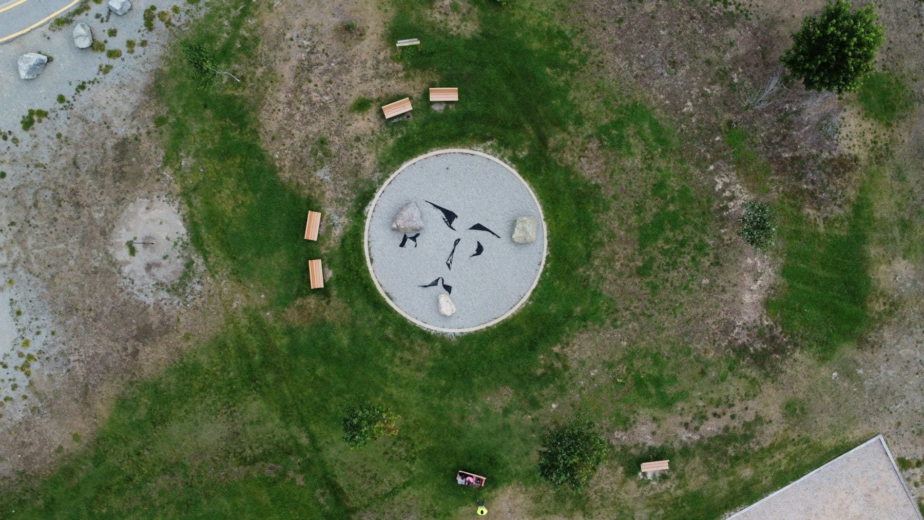
LiDAR drones combine Light Detection and Ranging technology with unmanned aerial systems to capture precise three-dimensional data from above. These flying mapmakers have transformed how industries collect spatial information, offering accuracy that rivals traditional surveying methods while covering ground faster than a person could walk it.
The technology works by firing thousands of laser pulses per second at surfaces below, then measuring how long each pulse takes to bounce back. Combined with GPS positioning and inertial navigation systems, this creates point clouds – massive datasets containing millions of precisely positioned points that software can transform into detailed 3D models.
Table of contents
- How LiDAR drone technology works
- Key components of LiDAR drone systems
- LiDAR vs photogrammetry for drone mapping
- Top LiDAR sensor options for drones
- Industry applications driving LiDAR drone adoption
- Selecting the right LiDAR drone setup
- Cost considerations and ROI factors
- Future developments in drone LiDAR technology
How LiDAR drone technology works
The physics behind LiDAR remains remarkably simple despite its sophisticated applications. A laser emitter sends out rapid pulses of light – typically in the near-infrared spectrum – while a receiver captures the reflected energy. The system calculates distance by measuring the time between emission and return, using the constant speed of light as a reference.
What makes this technology particularly powerful on drones is its ability to penetrate vegetation and capture multiple returns from a single pulse. When a laser beam hits a tree canopy, some energy reflects from leaves while the remainder continues through gaps to hit branches, trunks, and eventually the ground. This creates a layered dataset that reveals both surface features and underlying terrain.
Modern LiDAR systems fire between 100,000 to over one million pulses per second. Each pulse can capture multiple return points, generating massive datasets during flight. A typical survey might collect billions of individual measurements, creating point clouds with centimeter-level accuracy across large areas.
The integration with GPS and inertial measurement units (IMUs) allows each laser measurement to be precisely positioned in three-dimensional space. Advanced systems often incorporate Real Time Kinematic positioning for centimeter-level accuracy. GPS provides location coordinates while the IMU tracks the aircraft's orientation, accounting for pitch, roll, and yaw movements that would otherwise introduce errors into the dataset.
Flight altitude directly impacts data density and coverage area. Lower flights produce more detailed point clouds but cover less ground per flight hour. Higher altitudes reduce detail but increase efficiency for large-area mapping projects. Most commercial operations fly between 50 and 400 feet above ground level, balancing data quality with operational efficiency.
Key components of LiDAR drone systems
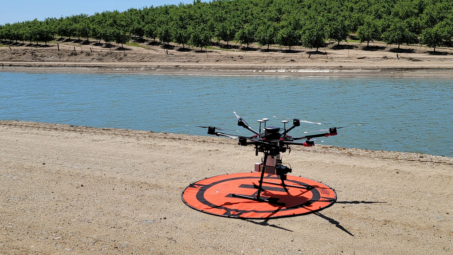
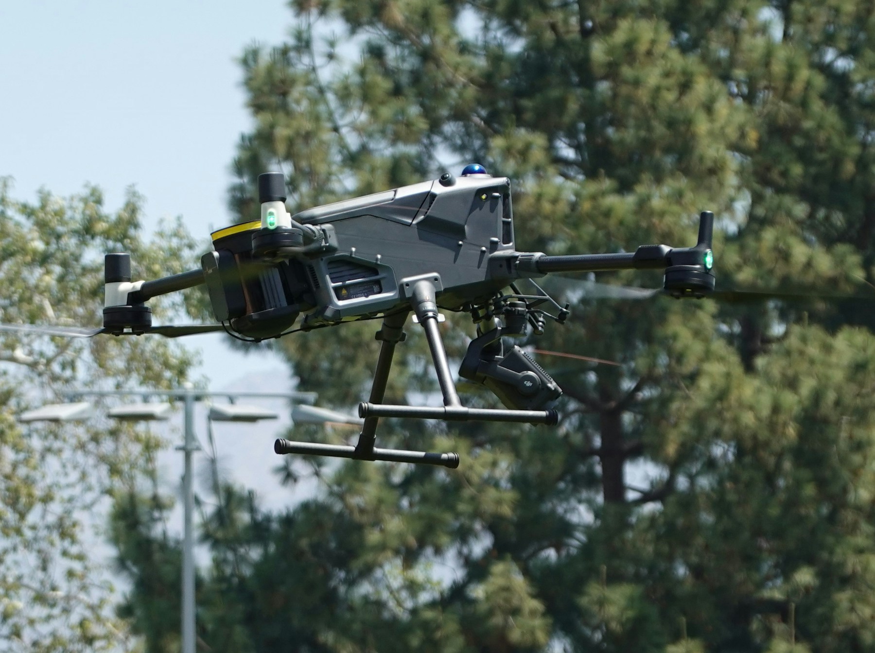
A complete LiDAR drone system consists of several integrated components working together to capture and process spatial data. The laser scanner itself represents just one piece of this technological puzzle.
The LiDAR sensor contains the laser emitter, receiver, and initial processing electronics. Modern sensors are increasingly compact and lightweight, designed specifically for drone integration. These units often include built-in IMUs and GPS receivers, reducing the need for separate navigation components.
Data storage systems must handle the massive file sizes generated during LiDAR operations. A single hour of flight can produce gigabytes of raw data, requiring high-capacity storage solutions with fast write speeds. Many systems use solid-state drives to withstand the vibrations and impacts common in drone operations.
Processing software transforms raw laser measurements into usable formats. This includes filtering algorithms to remove noise, classification routines to identify ground points versus vegetation, and visualization tools for quality control. Some systems perform real-time processing during flight, while others require post-mission analysis.
Power management becomes critical for extended operations. LiDAR sensors consume significant electricity compared to cameras, reducing flight times and requiring careful battery planning. Some operators use tethered systems for continuous power during stationary applications or hybrid configurations with both onboard and ground-based power sources.
Communication systems allow real-time monitoring of data collection progress. Professional flight data monitoring protocols ensure comprehensive tracking of sensor status, GPS position, and data quality throughout missions. This includes telemetry links for sensor status, GPS tracking for aircraft position, and sometimes live data streaming for immediate quality assessment. These connections help operators adjust flight parameters on the fly to optimize data collection.
LiDAR vs photogrammetry for drone mapping
The choice between LiDAR and photogrammetry often depends on specific project requirements and environmental conditions. Both technologies create 3D models, but their methodologies and strengths differ significantly.
Photogrammetry uses overlapping photographs to reconstruct three-dimensional scenes through computational algorithms. This approach works well for open areas with good lighting and distinct surface features. The technology requires multiple images of the same area from different angles to calculate depth and create accurate models.
LiDAR excels in environments where photogrammetry struggles. Dense vegetation, shadows, and uniform surfaces that lack visual texture can challenge photogrammetric processing. LiDAR's active laser illumination works regardless of ambient lighting conditions, making it suitable for operations during overcast days or even at night.
Accuracy differences become apparent in specific scenarios. Photogrammetry can achieve impressive results on textured surfaces with good lighting, often matching LiDAR precision. But in forested areas or complex industrial environments, LiDAR typically provides more reliable vertical accuracy and better penetration through obstacles.
Data processing requirements vary between the two technologies. Photogrammetric workflows require significant computational power for image alignment and dense point cloud generation. LiDAR data processing focuses more on filtering and classification rather than reconstruction, often requiring less processing time for similar coverage areas.
Cost considerations favor photogrammetry for many applications. High-quality cameras cost significantly less than LiDAR sensors, making photogrammetry accessible to operators with limited budgets. But the total cost equation includes processing time, data quality requirements, and project timeline factors.
Weather sensitivity affects both technologies differently. Photogrammetry requires good visibility and stable lighting conditions, while LiDAR can operate in light rain, fog, or low visibility conditions that would ground photogrammetric missions. This operational flexibility often justifies the higher equipment costs for time-sensitive projects.
Top LiDAR sensor options for drones
The LiDAR sensor market offers options ranging from affordable modules for hobbyists to precision instruments for professional surveying. Understanding the capabilities and limitations of different sensor categories helps operators make informed equipment decisions.
Entry-level sensors like the Garmin LiDAR-Lite series provide basic ranging capabilities at accessible price points. These units work well for obstacle avoidance and simple distance measurements but lack the scanning patterns and accuracy needed for professional mapping applications. Range limitations typically restrict their use to close-proximity applications.
Mid-range scanning LiDAR units offer 360-degree rotation with moderate range capabilities. The Velodyne Puck series represents this category, providing solid performance for many commercial applications. These sensors balance cost and capability, making them popular choices for businesses entering the LiDAR mapping market.
High-performance sensors from manufacturers like Ouster, Riegl, and Phoenix LiDAR deliver precision suitable for surveying and engineering applications. These units provide extended range, high point density, and advanced filtering capabilities. The increased cost reflects their specialized components and rigorous calibration standards.
Integrated solutions combine LiDAR sensors with optimized drone platforms and processing software. Companies like Microdrones and YellowScan offer complete systems designed for specific applications. While more expensive than component-based approaches, these turnkey solutions reduce integration complexity and provide comprehensive support.
Specialized sensors serve niche applications like bathymetric mapping or vegetation analysis. Green laser systems penetrate water surfaces for underwater topography, while specific wavelengths optimize for different surface materials. These specialized tools command premium prices but provide unique capabilities for targeted applications.
The following table compares key specifications across different LiDAR sensor categories:
| Sensor Category | Range | Points/Second | Weight | Typical Applications |
|---|---|---|---|---|
| Entry-level | 0-100m | 1,000-10,000 | 100-300g | Obstacle avoidance, simple ranging |
| Mid-range | 100-200m | 100,000-300,000 | 500-1,500g | Surveying, inspection, forestry |
| High-performance | 200-500m+ | 500,000-2,000,000+ | 1,000-3,000g | Precision surveying, large-area mapping |
| Specialized | Varies | Varies | Varies | Bathymetry, mining, specific industries |
Industry applications driving LiDAR drone adoption
Construction and engineering industries have embraced LiDAR drones for site surveying and progress monitoring. The technology provides accurate volume calculations for earthwork projects, helping contractors track material movement and billing accuracy. Regular monitoring flights detect changes in site conditions, allowing project managers to identify potential issues before they become costly problems.
Infrastructure inspection applications benefit from LiDAR's ability to create precise baseline measurements for ongoing monitoring. Bridge decks, dam faces, and retaining walls can be regularly scanned to detect structural changes over time. The millimeter-level accuracy enables detection of settlement, cracking, or other deformation that might indicate maintenance needs.
Forestry applications utilize LiDAR's vegetation penetration capabilities to assess timber resources and forest health. Tree height, canopy density, and biomass calculations support forest management decisions. Fire management agencies use the data to model fire behavior and plan suppression strategies based on fuel load distributions.
Mining operations deploy LiDAR drones for stockpile volume measurements and pit progression monitoring. The technology provides accurate inventory data for materials management and regulatory reporting. Safety applications include monitoring highwall stability and detecting unauthorized access to restricted areas.
Agricultural precision farming benefits from detailed terrain models that support drainage planning and irrigation design. Crop height measurements enable yield estimation and growth monitoring throughout growing seasons. The technology helps identify areas of poor drainage or erosion that may require remediation.
Environmental monitoring projects use LiDAR to track coastal erosion, wetland changes, and habitat assessment. The technology documents environmental impacts from development or natural disasters, supporting regulatory compliance and restoration planning. Research applications include climate change studies and ecosystem monitoring.
Emergency response applications leverage LiDAR's ability to rapidly assess disaster damage. Post-storm surveys can identify structural damage, debris locations, and access route obstructions. The technology supports search and rescue operations by providing detailed terrain models of disaster areas.
Archaeological applications benefit from LiDAR's ability to reveal hidden structures beneath vegetation. The technology has discovered previously unknown ruins and settlement patterns in heavily forested areas. Cultural resource management uses the data to document and protect archaeological sites.
Selecting the right LiDAR drone setup
Choosing appropriate LiDAR equipment requires careful analysis of mission requirements, budget constraints, and operational capabilities. The decision impacts not only initial costs but also ongoing operational efficiency and data quality outcomes.
Mission requirements drive sensor selection more than any other factor. Projects requiring centimeter-level accuracy need high-performance sensors with advanced calibration capabilities. Applications focusing on relative measurements or change detection may work well with mid-range sensors at significantly lower costs.
Coverage area affects both sensor choice and operational planning. Large-area mapping benefits from longer-range sensors that can operate at higher altitudes, increasing ground coverage per flight hour. Detailed inspections of smaller areas may justify higher point densities from shorter-range sensors operating at lower altitudes.
Drone platform selection must consider payload capacity, flight time, and integration complexity. Effective mission planning becomes critical when coordinating complex LiDAR operations with multiple variables. Fixed-wing aircraft provide longer flight times for extensive surveys but require more complex launch and recovery procedures. Multirotor platforms offer operational simplicity and vertical takeoff capabilities but with reduced flight endurance.
Data processing capabilities influence the total system cost and operational efficiency. Real-time processing systems provide immediate feedback but require more expensive computing hardware. Post-processing workflows allow more flexible scheduling but may delay project deliverables.
Environmental conditions affect sensor performance and operational requirements. Dusty or corrosive environments may require sensors with protective housings. Temperature extremes can impact battery performance and sensor accuracy. Understanding these factors helps select appropriate equipment and plan operational procedures.
Regulatory requirements vary by location and application type. Commercial operations typically require licensed pilots and specific equipment certifications. International projects may face additional restrictions on data collection and processing. These factors affect both equipment selection and operational procedures.
Training requirements should be considered early in the selection process. Complex systems may require extensive operator training and certification programs. Simpler systems allow faster deployment but may limit operational capabilities. The total cost of ownership includes both equipment and training expenses.
Cost considerations and ROI factors
LiDAR drone system costs span a wide range depending on sensor capabilities and integration complexity. Entry-level systems suitable for basic applications start around $10,000-20,000, while professional-grade systems can exceed $200,000 for complete turnkey solutions.
Sensor costs typically represent 50-70% of the total system investment. High-performance LiDAR units from leading manufacturers range from $80,000-150,000, while mid-range sensors suitable for many applications cost $20,000-50,000. These prices continue declining as technology matures and production volumes increase.
Drone platform costs vary significantly based on payload requirements and operational needs. Professional multirotor platforms capable of carrying LiDAR sensors range from $15,000-50,000. Fixed-wing platforms for large-area surveys can cost $50,000-100,000 or more depending on specifications.
Software costs include both processing applications and ongoing licensing fees. Professional photogrammetry and LiDAR processing software ranges from $3,000-15,000 annually depending on capabilities and user volume. Cloud-based processing services offer alternative pricing models based on data volume or processing time.
Operational costs include pilot training, insurance, maintenance, and regulatory compliance. Pilot certification programs cost $5,000-15,000 depending on requirements and training provider. Insurance costs vary based on coverage limits and operational risk factors but typically range from $3,000-10,000 annually.
Return on investment calculations depend on revenue generation potential and cost savings opportunities. Service providers typically charge $1,500-5,000 per day for LiDAR mapping services, depending on project complexity and market conditions. Internal use applications generate ROI through improved efficiency and reduced outsourcing costs.
Productivity improvements often justify LiDAR investments even without direct revenue generation. Traditional ground surveys might require weeks to complete areas that drones can map in hours. The time savings enable faster project completion and reduced labor costs for many applications.
Data quality improvements can justify system costs through reduced rework and improved decision-making. More accurate measurements reduce material waste in construction projects and improve resource management in forestry applications. These benefits may not appear in immediate cost calculations but provide long-term value.
Future developments in drone LiDAR technology
Sensor miniaturization continues advancing, with new solid-state LiDAR designs eliminating mechanical scanning components. These sensors offer improved reliability and reduced size while maintaining measurement accuracy. The technology promises more compact systems suitable for smaller drone platforms.
Integration with artificial intelligence and machine learning algorithms will automate data analysis and feature extraction. Advanced classification algorithms will automatically identify and measure specific features from point cloud data, reducing post-processing time and improving consistency.
Real-time processing capabilities are expanding through improved computing hardware and optimized algorithms. Future systems will provide immediate feedback during data collection, allowing operators to adjust flight parameters for optimal coverage and quality.
Multi-spectral LiDAR systems combine multiple laser wavelengths to provide additional information about surface materials and vegetation health. These sensors will enable new applications in precision agriculture, environmental monitoring, and material classification.
Swarm technology development may enable coordinated flights of multiple LiDAR-equipped drones for rapid large-area mapping. Distributed processing capabilities could combine data from multiple aircraft in real-time, providing comprehensive coverage of extensive areas.
Battery technology improvements will extend flight times and reduce the weight penalty of carrying LiDAR sensors. Solid-state batteries and improved energy density will enable longer missions with heavier payloads, improving operational efficiency.
Standardization efforts will improve interoperability between different manufacturers' equipment and software systems. Industry-wide data formats and processing standards will reduce vendor lock-in and improve competition in the marketplace.
Cost reductions through manufacturing scale and technological improvements will make LiDAR technology accessible to smaller operators and new application areas. The democratization of high-quality spatial data will create opportunities for innovation across multiple industries.
Implementation Considerations
LiDAR drone programs require careful planning that addresses sensor capabilities, data processing requirements, and operational constraints. Organizations implementing these systems benefit from understanding accuracy requirements, cost implications, and technical integration challenges before deployment.
Successful programs often start with pilot projects that validate sensor choices and develop internal expertise. Professional mission planning and comprehensive data monitoring protocols ensure consistent operations while maintaining quality standards.
In Summary
LiDAR technology represents a significant advancement in drone-based data collection capabilities. The combination of precision laser measurement, advanced processing algorithms, and aerial mobility creates new possibilities for rapid, accurate 3D mapping across numerous applications.
Current LiDAR systems provide capabilities that match or exceed traditional surveying methods while offering operational advantages in speed, safety, and accessibility. As sensor technology continues advancing and costs decrease, LiDAR-equipped drones will become increasingly valuable tools for professionals requiring precise spatial data.
Organizations implementing LiDAR programs today are developing expertise and operational approaches that position them to leverage these powerful technologies more effectively. The integration of advanced sensors with professional operational management creates comprehensive solutions that support demanding applications across multiple industries.
Ready to Advance Your 3D Mapping Capabilities?
Join professionals who have transformed their data collection operations through advanced LiDAR drone systems and comprehensive operational management. Whether you're conducting precision surveying, construction monitoring, or environmental assessment, sophisticated mapping technologies enable accurate results and operational excellence.
Start your free trial today — no credit card required. Or book a demo to see how DroneBundle integrates LiDAR workflows with surveying operations, precision positioning, and mission planning in a platform designed specifically for professional mapping operations.