Real Time Kinematic (RTK) offers centimeter-level GPS positioning accuracy in real time, transforming industries like construction, surveying, agriculture, and drone operations with precise, reliable, and efficient location-based solutions.
When GPS receivers deliver meter-level accuracy, many professional applications require something better. Real Time Kinematic (RTK) positioning bridges this gap, providing centimeter-level precision that transforms how industries approach location-based tasks.
RTK technology represents a significant leap forward from standard GPS capabilities. While conventional GPS systems work well for navigation and general positioning, they fall short when precise measurements matter most. Construction sites, surveying operations, and drone missions often demand accuracy that standard GPS simply cannot provide.
This positioning technique uses a network of reference stations and sophisticated algorithms to correct GPS errors in real time. The result? Position accuracy that often reaches within 2-3 centimeters of true location – a dramatic improvement over the 3-5 meter accuracy typical of consumer GPS devices.
Table of contents
- How Real Time Kinematic positioning works
- Technical components and infrastructure
- RTK vs standard GPS accuracy comparison
- Applications across industries
- Benefits and advantages
- Limitations and challenges
- Setting up RTK systems
- Cost considerations
- Future developments
How Real Time Kinematic positioning works
The magic behind RTK lies in its ability to eliminate common GPS errors through differential correction. Standard GPS signals travel through the atmosphere, bounce off buildings, and encounter various obstacles that introduce positioning errors. RTK tackles these issues head-on.
A base station with a precisely known location continuously monitors GPS signals and calculates the difference between its actual position and what GPS indicates. These error corrections get transmitted to nearby RTK receivers, which apply the corrections to their own GPS calculations.
The process happens in real time – hence the name. Corrections reach rovers (mobile receivers) within seconds, allowing them to achieve centimeter-level accuracy while moving. This differs from post-processing techniques where corrections get applied after data collection.
The correction process explained
GPS satellites orbit approximately 20,000 kilometers above Earth. Signals from these satellites must pass through atmospheric layers that slow and bend the radio waves. Weather conditions, atmospheric pressure, and ionospheric activity all introduce errors.
RTK base stations experience the same atmospheric conditions as nearby rovers. Since the base station knows its exact location, it can calculate how much error exists in the GPS signals it receives. These calculated errors get packaged into correction messages and broadcast to rovers in the area.
Rovers receive both the original GPS signals and the correction data simultaneously. On-board processors combine this information to produce highly accurate position fixes. The entire process takes just a few seconds from signal reception to corrected position output.
Technical components and infrastructure
RTK systems consist of several key components that work together to deliver precise positioning. Understanding these elements helps explain why RTK achieves such remarkable accuracy.
Base station requirements
Base stations form the foundation of any RTK system. These fixed installations must occupy precisely surveyed locations – their coordinates need to be known to within centimeters. Professional surveyors typically establish base station positions using lengthy observation sessions or connections to permanent reference networks.
Modern base stations combine GPS/GNSS receivers with radio transmission equipment. They continuously track satellite signals, calculate corrections, and broadcast this information to nearby rovers. Power systems, weather protection, and communication links round out the installation.
Rover equipment specifications
Rovers represent the mobile component of RTK systems. These units combine high-grade GPS receivers with radio equipment for receiving corrections. Professional-grade rovers often include multiple frequency bands, advanced antenna designs, and ruggedized housings for field use.
Processing power plays a crucial role in rover performance. Real-time calculations require significant computational resources to combine GPS observations with correction data. Modern rovers integrate powerful processors that handle these calculations without introducing delays.
Communication links and protocols
Reliable communication between base stations and rovers is fundamental to RTK success. Radio links must maintain consistent connections across the operating area while dealing with terrain obstacles and interference sources.
The following table shows common communication methods used in RTK systems:
| Communication Type | Range | Advantages | Limitations |
|---|---|---|---|
| UHF Radio | 5-15 km | Simple setup, no ongoing costs | Limited range, terrain dependent |
| Cellular/Internet | Unlimited | Global coverage, reliable | Monthly service fees required |
| Satellite | Global | Works anywhere | Higher latency, expensive |
| WiFi/Bluetooth | 100-500m | Low power, integrated | Very short range |
Communication protocols standardize how correction data gets formatted and transmitted. RTCM (Radio Technical Commission for Maritime Services) standards define message formats that ensure compatibility between different manufacturers' equipment.
RTK vs standard GPS accuracy comparison
The accuracy difference between RTK and standard GPS is substantial enough to enable entirely different applications. Standard GPS typically provides 3-5 meter accuracy under ideal conditions, though real-world performance often falls short of this specification.
RTK systems routinely achieve horizontal accuracy within 1-2 centimeters and vertical accuracy within 2-3 centimeters. This represents a 100-fold improvement over standard GPS capabilities – the difference between pointing to a building versus pointing to a specific window.
Factors affecting accuracy performance
Several variables influence how well RTK systems perform in practice. Distance from the base station significantly impacts accuracy, with performance degrading as rovers move farther away. Most systems maintain centimeter accuracy within 10-15 kilometers of the base station.
Atmospheric conditions affect signal propagation and correction validity. Severe weather, high ionospheric activity, and rapid temperature changes can reduce accuracy temporarily. Professional RTK systems include quality indicators that warn operators when conditions may compromise precision.
Satellite geometry also plays a role in RTK performance. GPS accuracy improves when satellites are well-distributed across the sky. Urban environments, deep valleys, and dense forest canopies can block satellite signals and reduce the number of available observations.
Measurement consistency and reliability
RTK systems not only provide better absolute accuracy but also deliver more consistent measurements over time. Standard GPS positions can vary by several meters between readings taken at the same location, making precise work difficult.
With RTK, repeated measurements at the same point typically vary by only a few millimeters. This repeatability enables applications like construction stake-out, where points must be located precisely relative to design plans.
Applications across industries
The precision offered by RTK technology has found applications across numerous industries where accurate positioning makes the difference between success and failure. Each sector leverages RTK's capabilities in unique ways.
Construction and engineering
Construction projects rely on RTK for site preparation, foundation layout, and quality control. Excavation equipment increasingly incorporates RTK receivers that guide automatic grading systems. These machine control applications reduce material waste, improve construction speed, and achieve better finished surfaces.
Building layout represents another key application. Construction crews use RTK rovers to stake out building corners, utility lines, and other features according to engineering drawings. The centimeter accuracy eliminates rework caused by positioning errors. Modern construction inspection workflows benefit significantly from RTK-enabled positioning accuracy.
Precision agriculture
Farmers use RTK-guided equipment for planting, spraying, and harvesting operations. Tractors equipped with RTK can maintain straight rows within 2-3 centimeters, reducing overlap and gaps that waste seeds, fertilizer, and chemicals.
Variable rate applications become possible with RTK precision. Equipment can apply different amounts of inputs based on precise field locations, optimizing crop yields while reducing environmental impact. GPS guidance also enables night operations when weather windows are limited.
Surveying and mapping
Professional surveyors have embraced RTK as a faster alternative to traditional measurement techniques. RTK surveys can be completed in a fraction of the time required for conventional methods while maintaining comparable accuracy.
Boundary surveys, topographic mapping, and construction layout all benefit from RTK capabilities. The technology is particularly valuable for projects requiring many measurement points across large areas.
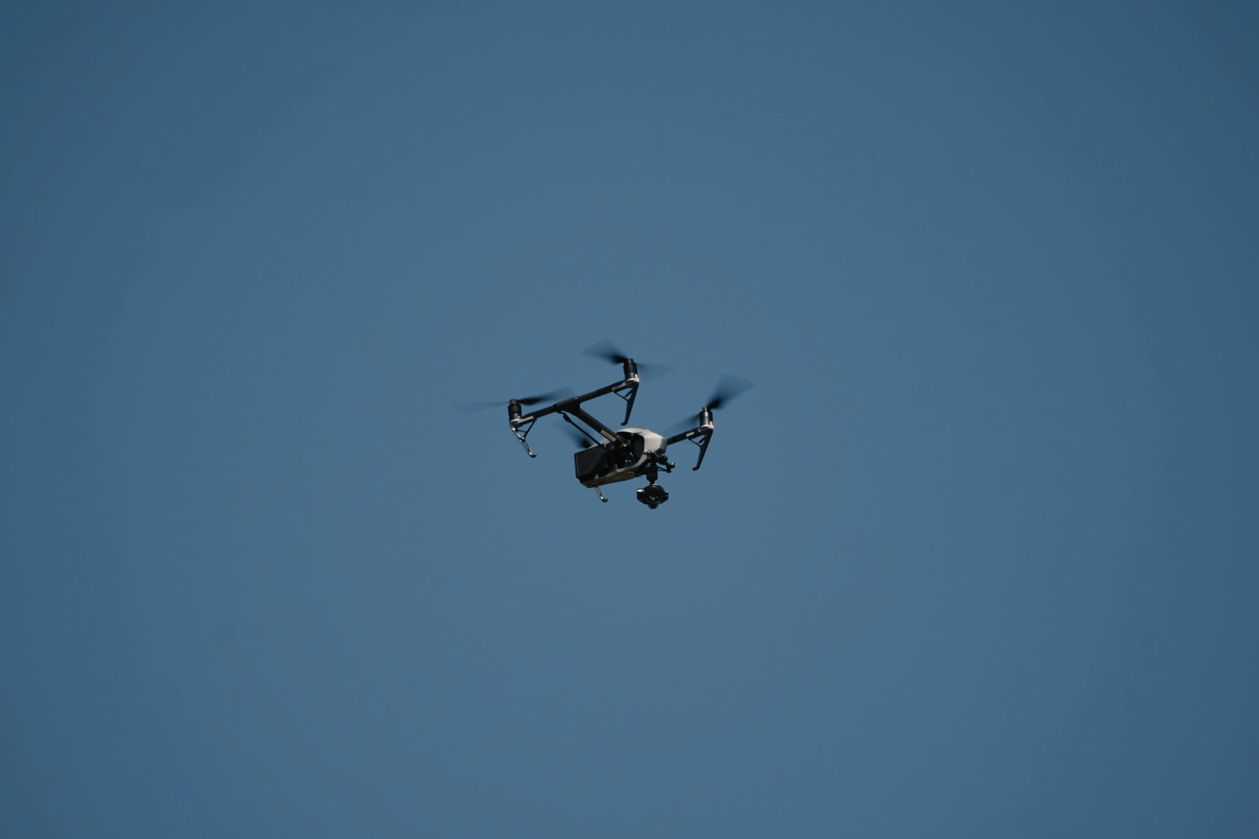
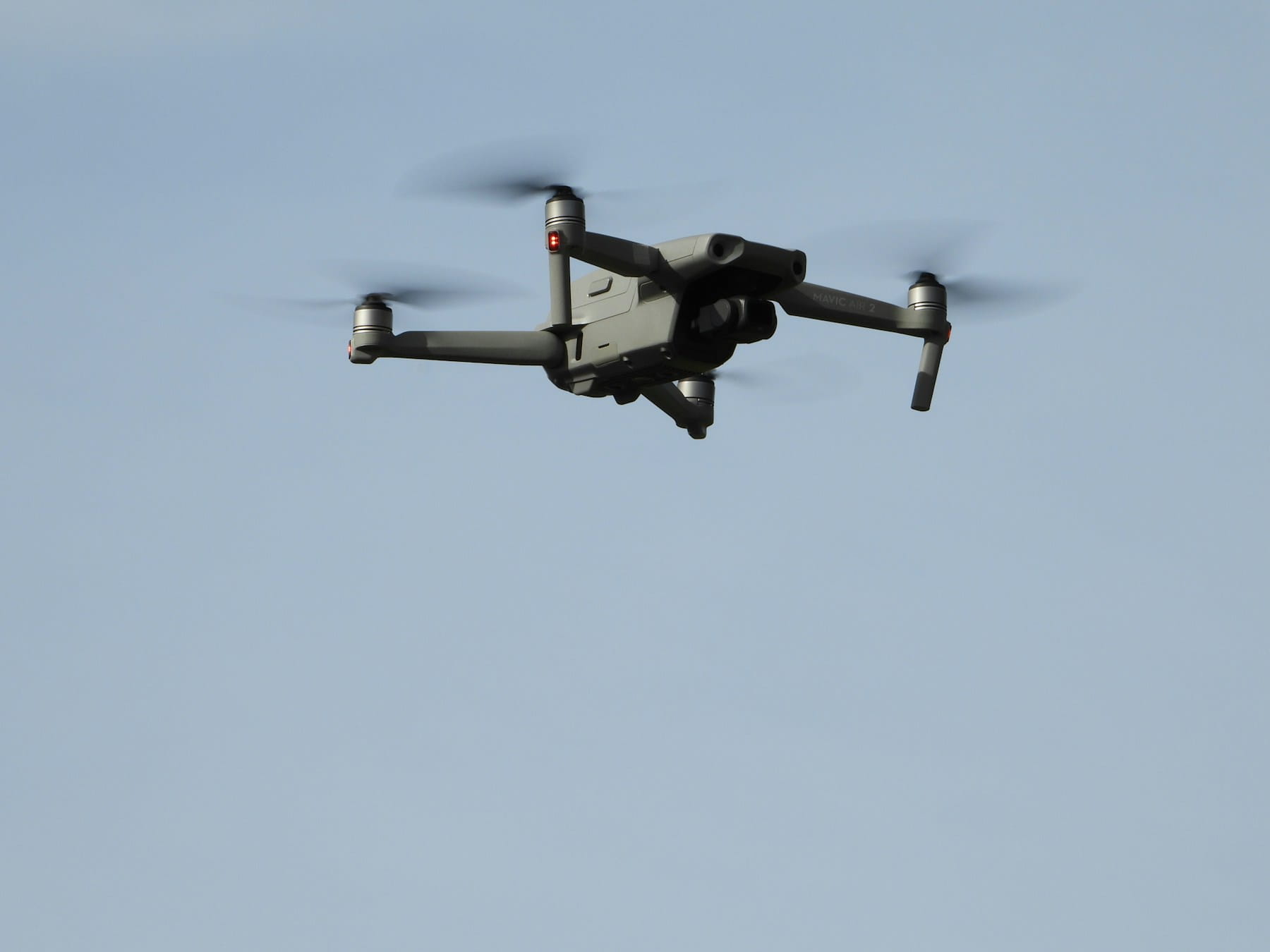
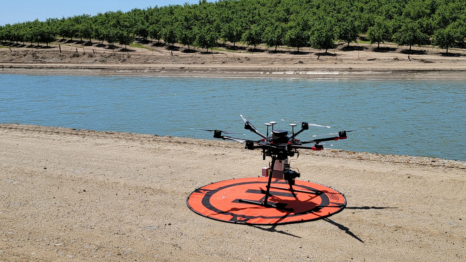
Drone operations and aerial mapping
Drones equipped with RTK receivers can capture imagery and LiDAR data with precise positioning information. This eliminates the need for numerous ground control points traditionally required for accurate mapping projects.
RTK-enabled drones produce survey-grade results directly from flight operations. Construction progress monitoring, volumetric calculations, and infrastructure inspections all benefit from this enhanced positioning accuracy.
RTK-enabled drones require careful mission planning to maximize positioning accuracy benefits. Professional operators implementing comprehensive flight data monitoring protocols gain significant operational advantages while maintaining survey-grade accuracy standards.
Benefits and advantages
RTK technology delivers multiple advantages that extend beyond simple accuracy improvements. These benefits often justify the additional complexity and cost associated with RTK systems.
Time and cost savings
Projects requiring precise positioning often complete faster with RTK than with conventional methods. Traditional surveying might require days to establish control points and take measurements that RTK accomplishes in hours.
Reduced rework represents another significant benefit. When positions are accurate the first time, construction crews avoid costly mistakes that require correction. Building foundations placed correctly eliminate delays and material waste.
Real-time decision making
RTK provides immediate feedback that enables real-time adjustments and decisions. Machine operators can see their exact position relative to design plans and make corrections instantly rather than waiting for survey crews to provide guidance.
Quality control becomes continuous rather than periodic. Operators can verify they're meeting specifications throughout the work process instead of discovering problems after completion.
Improved safety and efficiency
RTK systems reduce the need for personnel to work in hazardous areas. Automated equipment guided by RTK can operate in dangerous environments while keeping operators at safe distances. Advanced operations like beyond visual line of sight flights rely heavily on precise positioning for safe autonomous navigation.
The precision of RTK also enables closer tolerances and more efficient use of materials. Excavation projects can work closer to utilities and structures when position accuracy is assured.
Limitations and challenges
Despite its advantages, RTK technology faces several limitations that affect its deployment and performance. Understanding these constraints helps set appropriate expectations.
Range and coverage limitations
RTK accuracy degrades with distance from base stations. Most systems maintain centimeter accuracy within 10-15 kilometers, though performance can vary based on atmospheric conditions and terrain.
This range limitation requires multiple base stations for large project areas or coordination with regional reference networks. The additional infrastructure increases system complexity and cost.
Environmental interference factors
Urban environments present challenges for RTK systems through signal blocking and multipath interference. Tall buildings can block satellite signals or cause reflections that introduce errors.
Dense forest canopies, deep valleys, and other natural obstructions also limit RTK performance. These environments may require alternative positioning techniques or reduced accuracy expectations.
Initial setup complexity
RTK systems require more setup and configuration than standard GPS equipment. Base station installation, coordinate system selection, and radio frequency coordination all demand technical expertise. Implementing comprehensive pre-flight procedures becomes critical when operating RTK-equipped systems.
Field crews need training to operate RTK equipment effectively and understand when system performance may be compromised. Comprehensive compliance management ensures adherence to aviation regulations when operating precision positioning systems. This learning curve can slow initial adoption.
Equipment and operational costs
RTK receivers cost significantly more than standard GPS units. Base station equipment, radio systems, and professional-grade rovers represent substantial investments.
Ongoing operational costs include radio licenses, cellular data plans, and equipment maintenance. These expenses must be weighed against the benefits RTK provides for specific applications.
Setting up RTK systems
Proper RTK system setup determines whether the technology delivers its promised accuracy and reliability. Several critical steps ensure optimal performance.
Site selection and base station placement
Base station location significantly impacts system performance and coverage area. Sites should provide clear sky visibility with minimal obstructions while being accessible for equipment installation and maintenance.
Surveyed control points make ideal base station locations when available. If precise coordinates aren't known, base stations require lengthy initialization periods to establish accurate positions through static observations.
Power and communication infrastructure must be available or installed at base station sites. Solar panels and batteries can provide power in remote locations, while cellular modems enable connection to correction networks.
Coordinate system configuration
RTK systems must be configured for the appropriate coordinate system and map projection. Local grid systems, state plane coordinates, or UTM zones each require specific parameters for proper operation.
Datum selection affects how RTK positions relate to existing surveys and mapping products. Mixing coordinate systems or datums can introduce systematic errors that negate RTK's accuracy advantages.
Network RTK considerations
Network RTK (NRTK) services provide corrections from multiple reference stations, extending coverage and improving reliability compared to single base station systems. These services require cellular or internet connectivity but eliminate the need for local base station infrastructure.
Subscription costs vary based on coverage area and service level. Some regions offer government-sponsored networks while others rely on commercial providers. Service availability should be verified before committing to NRTK solutions.
Cost considerations
RTK implementation involves both upfront equipment costs and ongoing operational expenses. Understanding these costs helps determine whether RTK technology provides sufficient value for specific applications.
Equipment investment breakdown
Professional RTK rovers typically cost $15,000-$30,000, while base station equipment ranges from $10,000-$25,000. These prices reflect the sophisticated hardware and software required for centimeter-level accuracy.
Radio communication equipment adds another $2,000-$5,000 to system costs, depending on power requirements and frequency bands. Antenna systems, cables, and mounting hardware contribute additional expenses.
Service and maintenance costs
Network RTK services typically charge $100-$200 per month per rover for correction data access. These ongoing costs can add up quickly for organizations operating multiple units.
Equipment maintenance, calibration, and updates represent additional operational expenses. Professional RTK equipment requires periodic servicing to maintain accuracy specifications.
Return on investment analysis
RTK costs must be evaluated against the value it provides through improved accuracy, reduced rework, and increased productivity. Construction projects may recover RTK investments through reduced surveying costs and fewer errors.
Time savings often provide the most significant return on investment. Projects that previously required days of traditional surveying might be completed in hours with RTK technology.
Future developments
RTK technology continues evolving with improvements in satellite systems, communication methods, and processing capabilities. These developments promise better performance and broader accessibility.
Multi-constellation capabilities
Modern RTK systems can use signals from GPS, GLONASS, Galileo, and BeiDou satellite constellations simultaneously. More satellites provide better geometry and improved accuracy, particularly in challenging environments.
Future developments will integrate additional satellite signals and frequencies, further improving RTK performance and reliability.
Improved communication technologies
5G cellular networks promise lower latency and higher reliability for RTK correction data transmission. Satellite internet services may provide global coverage for remote operations.
Integration with autonomous systems
Self-driving vehicles, automated construction equipment, and autonomous drones increasingly rely on RTK positioning for safe operation. This integration drives demand for more reliable and affordable RTK solutions.
RTK technology represents a fundamental improvement in positioning accuracy that enables applications impossible with standard GPS. While the technology requires higher upfront investment and more complex setup, the benefits often justify these costs for precision-critical operations.
Construction, agriculture, surveying, and drone operations have all embraced RTK for its ability to deliver centimeter-level accuracy in real time. As satellite systems improve and costs decrease, RTK adoption will likely expand to even more applications.
For organizations managing drone operations, integrating RTK positioning with comprehensive mission planning and data management becomes critical for maximizing the technology's benefits. Professional platforms that handle the complete workflow from mission planning through final deliverables help operators focus on their core objectives rather than technical complexities.
Implementation Considerations
RTK technology requires careful planning and setup to achieve optimal results. Organizations implementing RTK systems benefit from understanding both technical capabilities and operational requirements before deployment.
Key implementation factors include accuracy requirements for specific applications, equipment selection based on operational needs, and integration with existing workflows. Proper mission planning and compliance management ensure RTK systems operate safely and effectively within regulatory frameworks.
In Summary
Real Time Kinematic positioning technology represents a fundamental advancement in GPS accuracy that enables applications requiring centimeter-level precision. The combination of improved satellite systems, sophisticated correction algorithms, and real-time communication creates new opportunities while addressing traditional positioning limitations.
Construction automation, precision agriculture, drone operations, and surveying applications have all embraced RTK for its ability to deliver survey-grade accuracy in real time. As technology continues improving and costs decrease, RTK adoption will likely expand to autonomous vehicles, smart infrastructure, and precision applications yet to be developed.
The future of precise positioning looks bright, with RTK technology serving as the foundation for autonomous systems, smart cities, and precision applications yet to be imagined. For organizations managing complex positioning operations, integrating RTK technology with comprehensive mission planning and data management becomes critical for maximizing the technology's benefits.