Drones for construction inspections provide fast, safe, and detailed site assessments, capturing high-resolution images, thermal data, and 3D models to enhance safety, efficiency, and project documentation.
Construction sites have always presented unique challenges for inspectors. Getting up close to multi-story structures, navigating tight spaces between buildings, and documenting hard-to-reach areas traditionally required significant time, equipment, and safety precautions. Drones changed everything.
These flying workhorses now handle tasks that would have taken inspection crews hours or even days to complete. From capturing thermal imagery of building facades to creating detailed 3D models of construction progress, drones deliver data that would have been nearly impossible to collect safely just a decade ago. And they do it faster, cheaper, and often with better quality than traditional methods.
Table of contents
- Why construction inspections need drones
- Key drone capabilities for construction inspections
- Best drone models for construction inspection work
- Camera and sensor options
- Top construction inspection applications
- Benefits of drone-based construction inspections
- Safety considerations and best practices
- Overcoming common inspection challenges
- Data processing and documentation workflows
- Regulatory requirements and compliance
- Getting started with construction inspection drones
Why construction inspections need drones
Traditional construction inspections involve ladders, scaffolding, and a lot of walking around. Inspectors spend considerable time just reaching the areas they need to examine. For tall buildings or structures under construction, accessing certain inspection points can be dangerous or simply impossible without specialized equipment.
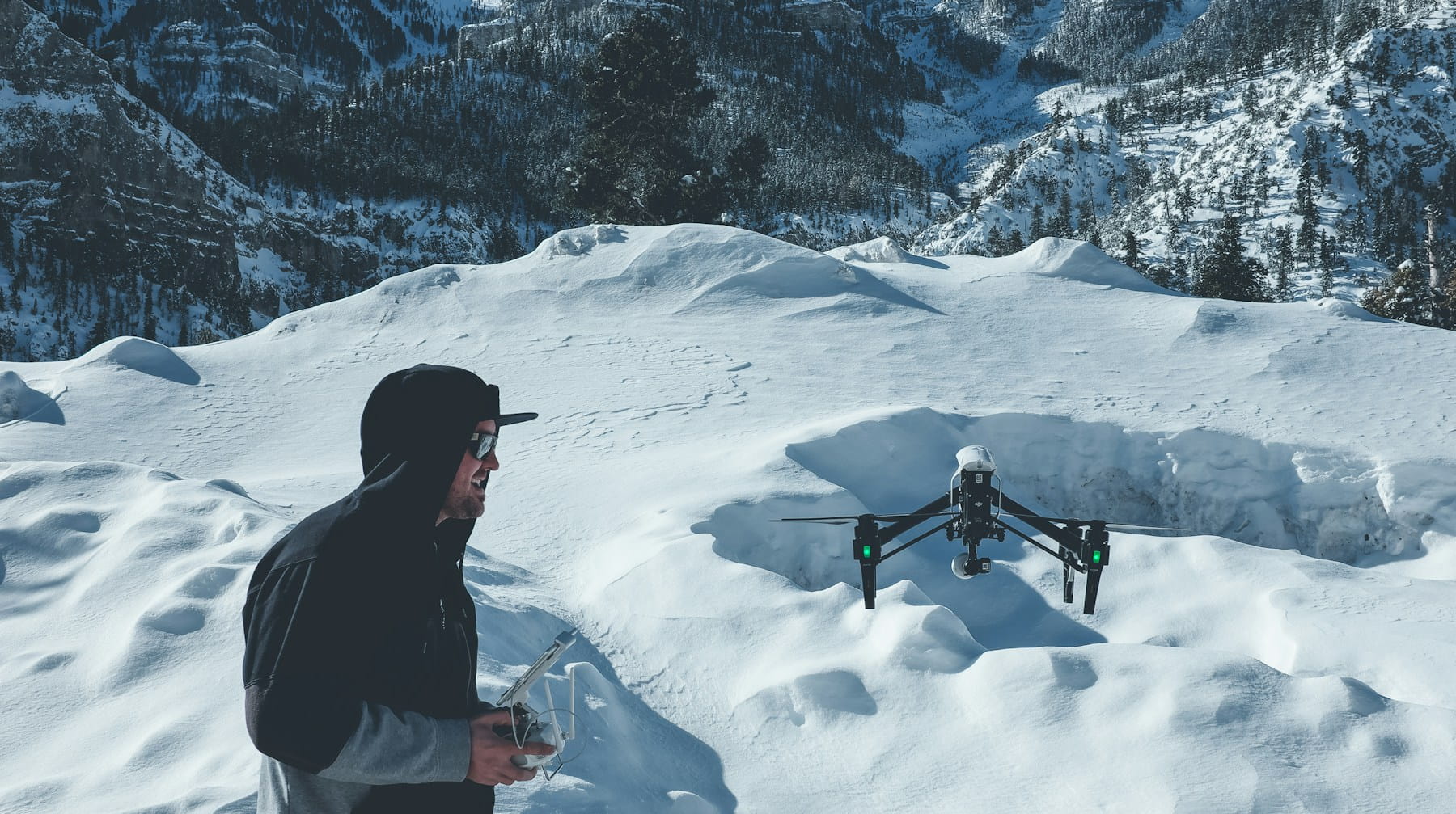
Drones solve the access problem elegantly. They fly to any height, angle, or position needed to capture inspection data. No scaffolding required. No safety harnesses or complex rigging setups. Just launch the drone and navigate to the inspection point.
The data quality advantage is equally compelling. High-resolution cameras mounted on stable gimbal systems capture images that reveal details human eyes might miss from ground level. Thermal cameras detect temperature variations that indicate potential problems with insulation, moisture intrusion, or structural issues. And GPS-enabled drones can return to exact same positions for consistent progress monitoring over time.
Speed matters too. What might take an inspection team several hours to document manually can often be captured by a drone in 20-30 minutes. This efficiency translates directly into cost savings and faster project timelines.
Key drone capabilities for construction inspections
Not all drones work well for construction inspection tasks. Successful inspection drones need specific capabilities that generic consumer models typically lack.
Flight stability stands out as the most important feature. Construction sites often involve wind patterns created by buildings and structures. Professional inspection drones maintain steady positioning even in challenging conditions, producing sharp images and smooth video footage.
Camera quality determines the usefulness of collected data. High-resolution sensors capture fine details like hairline cracks, loose bolts, or surface irregularities. Good low-light performance helps when inspecting shaded areas or interior spaces. Optical zoom capabilities allow detailed examination of specific components without flying dangerously close to structures.
Thermal imaging capability opens up entirely new inspection possibilities. These cameras detect heat signatures that reveal insulation gaps, water damage, electrical problems, or air leaks that would be invisible to standard cameras.
Flight time affects how much area can be covered per mission. Professional construction inspection drones typically offer 25-45 minutes of flight time, allowing thorough documentation of large sites without constant battery swaps.
Weather resistance keeps operations running when conditions aren't perfect. Construction projects don't stop for light rain or wind, and inspection drones need similar resilience.
Precision positioning through GPS and RTK systems allows drones to return to exact locations for progress comparison photos. This capability proves invaluable for tracking construction phases or monitoring specific problem areas over time.
Best drone models for construction inspection work
Several drone models have established themselves as go-to choices for construction inspection professionals. Each offers different strengths depending on specific inspection requirements.
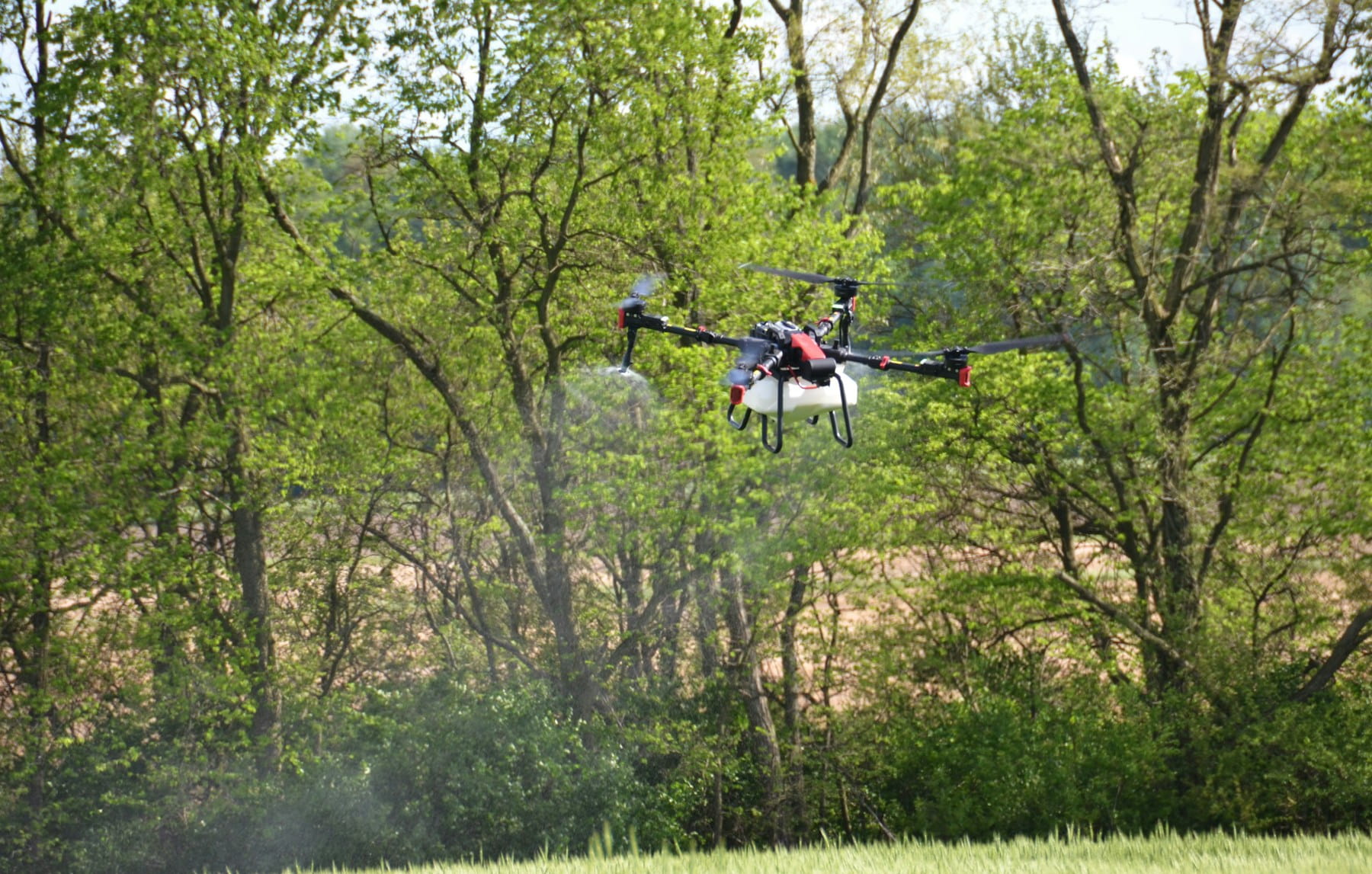
The DJI Matrice series represents the heavy-duty end of the spectrum. These industrial-grade drones carry multiple camera payloads simultaneously and offer exceptional flight stability in challenging conditions. Their modular design allows operators to swap between thermal cameras, zoom lenses, and mapping sensors based on inspection needs. Flight times often exceed 30 minutes, and weather sealing protects against dust and moisture common on construction sites.
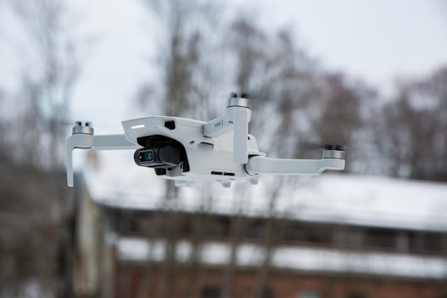
DJI Mavic models provide a more portable option without sacrificing too much capability. The Mavic 3 Enterprise series includes thermal imaging variants that capture both visual and thermal data simultaneously. These drones fold down to backpack size but still deliver professional-grade imagery and 40+ minute flight times. The built-in zoom capabilities work well for detailed component inspections.
Autel EVO series drones offer similar capabilities to DJI models with some unique features. Their obstacle avoidance systems work particularly well in cluttered construction environments. Some models include 360-degree cameras that capture complete site documentation in single flights.
Skydio drones excel at autonomous flight and obstacle avoidance. Their AI-powered navigation systems allow safe flight through complex construction environments with minimal pilot intervention. This capability proves especially useful for interior inspections or flights around active construction equipment.
For organizations requiring NDAA-compliant equipment, several manufacturers produce drones meeting these requirements. The Inspired Flight IF800 and ACSL SOTEN series provide professional inspection capabilities while adhering to specific regulatory compliance needs.
Camera and sensor options
The camera system often matters more than the drone platform itself. Construction inspections demand different imaging capabilities depending on what needs to be documented.
High-resolution visual cameras serve as the foundation for most inspection work. Modern sensors capture 20+ megapixel images with enough detail to identify small defects or monitor construction quality. Many professional inspection cameras also record 4K video, useful for documenting processes or creating comprehensive site records.
Thermal cameras detect temperature differences across surfaces. In construction inspections, thermal imaging reveals insulation effectiveness, moisture problems, electrical issues, and air leaks. Professional thermal cameras typically offer 640x512 pixel resolution or higher, providing enough detail for accurate temperature measurements and problem identification.
Zoom cameras allow detailed examination of specific components without requiring close approach flights. Optical zoom systems maintain image quality while digital zoom can extend reach further when needed. Some inspection drones carry cameras with 30x or higher zoom capabilities, enabling examination of small components from safe distances.
LiDAR sensors create precise 3D point clouds of structures and terrain. These sensors prove valuable for progress monitoring, volume calculations, and creating accurate as-built documentation. LiDAR works regardless of lighting conditions and can capture data through vegetation or light obstructions.
Multispectral cameras analyze light wavelengths beyond human vision. While more common in agricultural applications, these sensors can identify material conditions, vegetation growth on structures, or coating effectiveness that aren't visible to standard cameras.
The following table compares key specifications for common construction inspection camera types:
| Camera Type | Resolution | Key Advantages | Best Applications |
|---|---|---|---|
| High-res Visual | 20-48 MP | Detail capture, color accuracy | General inspection, progress documentation |
| Thermal | 320x240 to 1280x1024 | Heat detection, moisture identification | Energy audits, moisture problems |
| Zoom Optical | Variable | Safe distance inspection | Component examination, detail work |
| LiDAR | Point cloud | Precise measurements, 3D modeling | Volume calculation, as-built documentation |
| Multispectral | Multiple bands | Material analysis | Coating inspection, vegetation monitoring |
Top construction inspection applications
Construction inspection drones handle numerous tasks across different project phases. Understanding these applications helps identify where drones provide the most value.
Progress monitoring ranks among the most common drone applications. Regular flights document construction advancement, allowing project managers to track progress against schedules and identify potential delays. Time-stamped imagery provides clear records of work completion and can help resolve disputes about project timelines.
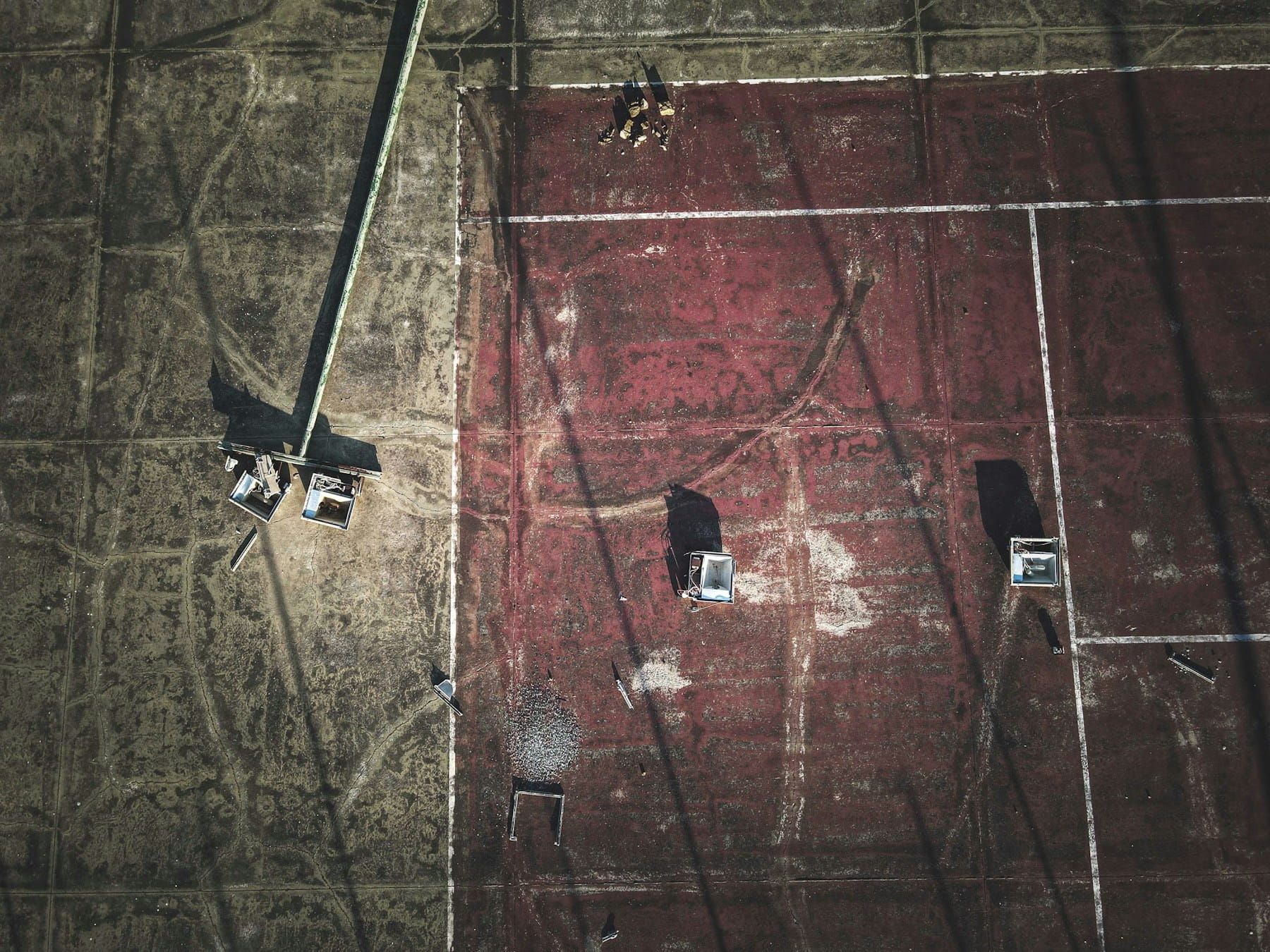
Roof inspections showcase drone capabilities perfectly. Getting onto roofs, especially during construction or on tall buildings, presents significant safety risks. Drones capture detailed roof imagery from multiple angles, documenting installation quality, identifying damage, and checking system components like HVAC units or solar panels.
Facade examination becomes practical with drones. Building exteriors often contain features that are difficult or dangerous to inspect manually. Drones can fly close to walls, windows, and architectural details to document construction quality, identify defects, or assess weather damage.
Safety monitoring helps maintain site safety standards. Drones can quickly survey large construction sites to identify safety hazards, verify proper use of protective equipment, or document unsafe conditions. This bird's-eye perspective often reveals problems not visible from ground level.
Structural assessments benefit from drone-collected data. High-resolution imagery captures details about structural components, connection quality, and potential problems. Thermal imaging can identify stress points or areas where structural integrity might be compromised.
Site surveying and mapping provides accurate baseline data for construction projects. Drones equipped with precision GPS systems create detailed maps and 3D models of construction sites. This information supports planning, progress tracking, and final as-built documentation.
Environmental compliance monitoring helps projects meet regulatory requirements. Drones document erosion control measures, water management systems, and environmental protection efforts. Regular flights can identify compliance issues before they become regulatory problems.
Quality control inspections verify that construction work meets specifications. Detailed imagery allows quality control teams to examine workmanship, material installation, and adherence to design requirements without physically accessing every area of a construction site.
Benefits of drone-based construction inspections
The advantages of using drones for construction inspections extend beyond simple time savings. These benefits compound across project lifecycles and organization-wide operations.
Safety improvements represent perhaps the most significant benefit. Construction sites present numerous hazards, from unstable surfaces to active equipment to height-related risks. Drones eliminate the need for human inspectors to access many dangerous areas. Workers stay on safe ground while still collecting the inspection data they need.
Time efficiency accelerates project schedules. Traditional inspections might require hours to set up scaffolding, access remote areas, or coordinate with other site activities. Drone inspections typically complete in minutes or hours rather than days. This speed allows more frequent monitoring and faster response to identified problems.
Cost reduction occurs across multiple areas. Reduced labor hours for inspections directly cut project costs. Fewer safety incidents lower insurance and liability expenses. Earlier problem identification prevents costly rework. And more accurate documentation reduces disputes and change orders.
Data quality often exceeds what traditional inspections can achieve. High-resolution cameras capture details that might be missed by visual inspections. Thermal cameras reveal hidden problems. GPS-tagged imagery provides precise location data. And consistent flight paths enable accurate progress comparisons over time.
Documentation consistency improves record keeping. Drone flights can follow exact same routes and capture identical viewpoints for each inspection. This consistency makes it easier to track changes, identify trends, and maintain comprehensive project records.
Access capability opens up inspection possibilities that weren't practical before. Interior spaces during construction, areas around active equipment, or locations requiring specialized safety equipment all become accessible to drone inspections. This expanded access means more thorough site documentation.
Repeatability supports long-term monitoring efforts. GPS-enabled drones can return to exact locations for consistent progress tracking or problem monitoring. Automated flight paths ensure that every inspection covers the same areas with the same level of detail.
Safety considerations and best practices
Operating drones on construction sites requires careful attention to safety protocols. Active construction environments present unique hazards that don't exist in typical drone operations.
Pre-flight planning becomes more complex around construction sites using systematic pre-flight procedures. Operators need to coordinate with site supervisors, identify active work areas, and plan flight paths that avoid construction equipment and personnel. Weather conditions, especially wind patterns created by buildings, require careful evaluation.
Equipment inspection routines should be more frequent and thorough for construction site operations. Dust, debris, and challenging flight conditions can affect drone systems more quickly than normal operations. Battery performance may be impacted by temperature extremes common on construction sites. Implementing systematic maintenance protocols ensures reliability during critical inspection operations.
Communication protocols with site personnel prevent conflicts and accidents. Construction workers need to know when and where drone operations will occur. Clear communication channels between drone operators and site supervisors help coordinate activities and respond to changing conditions.
Emergency procedures must account for construction site hazards. Landing zones may be limited or change frequently. Emergency shutdown procedures should consider the impact on ongoing construction activities. And backup communication methods ensure coordination even if primary systems fail.
Maintenance schedules should be accelerated for construction site operations. Dust, vibration, and challenging flight conditions accelerate wear on drone systems. More frequent inspections of props, gimbal systems, and camera equipment help prevent failures during important inspections.
Personnel training requirements may be higher for construction drone operations. Pilots need to understand construction site hazards and protocols through comprehensive pilot training programs. They should be familiar with construction terminology and processes to better coordinate with site personnel and understand inspection requirements.
Overcoming common inspection challenges
Construction drone operations face specific challenges that don't affect other drone applications. Successful inspection programs develop strategies to address these obstacles.
Wind and weather conditions around construction sites can be particularly challenging. Buildings and structures create complex wind patterns that affect drone stability. Operators learn to identify problematic wind conditions and adjust flight plans accordingly. Some inspections may need to be postponed until conditions improve.
Electromagnetic interference from construction equipment can affect drone systems. Heavy machinery, welding operations, and temporary power systems can interfere with GPS signals or communication links. Pilots need to recognize interference symptoms and have backup navigation methods available.
Dynamic site conditions mean that flight plans may need frequent updates. Construction sites change rapidly, with new obstacles appearing and work areas shifting. Successful drone programs build flexibility into their operations and maintain current site maps and hazard information.
Access restrictions may limit where drones can operate. Some construction sites have security requirements or contractual limitations on drone use. Operators need to understand these restrictions and work within them while still achieving inspection objectives.
Data management challenges grow with the volume of imagery collected. Construction inspections can generate hundreds or thousands of images per flight. Organizing, processing, and storing this data requires dedicated systems and workflows.
Integration with existing processes determines how effectively drone data gets used. The best inspection drones in the world don't help if their data doesn't integrate with project management, quality control, or documentation systems already in use.
Data processing and documentation workflows
Collecting inspection data represents only the first step in effective drone-based construction inspections. Processing and documenting that data determines how useful the information becomes for project management and decision-making.
Image organization requires systematic approaches for large-scale inspection programs. GPS coordinates automatically tag image locations, but additional metadata like inspection dates, weather conditions, and specific inspection objectives help organize and retrieve specific information later. Many inspection programs develop standardized naming conventions and folder structures to maintain consistency across projects.
3D modeling from drone imagery creates valuable project documentation. Photogrammetry software processes overlapping images to create detailed 3D models of construction sites or specific structures. These models support volume calculations, progress measurement, and virtual site inspections by remote team members.
Thermal analysis software helps interpret thermal imaging data. Temperature mapping, anomaly detection, and trend analysis turn raw thermal images into actionable information about insulation performance, moisture problems, or structural issues.
Reporting systems need to present inspection findings in formats useful for different audiences. Site supervisors may need immediate alerts about safety hazards. Project managers require progress summaries. And clients might want detailed technical reports with supporting imagery.
Data storage and retrieval systems must handle large volumes of high-resolution imagery while maintaining quick access to specific information. Cloud-based storage solutions often work well, but internet connectivity on construction sites can be problematic. Hybrid approaches with local storage and periodic cloud synchronization provide reliability and accessibility.
Quality control processes verify that collected data meets inspection requirements. Automated checks for image quality, coverage completeness, and metadata accuracy help identify data problems before they affect project decisions.
Regulatory requirements and compliance
Construction drone operations must comply with aviation regulations while meeting construction industry requirements. This dual regulatory environment creates compliance challenges that operators need to understand and address.
FAA Part 107 regulations govern most commercial drone operations. Construction inspection flights typically fall under these rules, which require certified pilots, registered aircraft, and adherence to operational limitations. Understanding comprehensive compliance requirements helps ensure all regulatory obligations are met. Some construction sites may require special authorizations for flights in controlled airspace or beyond visual line of sight operations.
OSHA regulations may apply to drone operations on construction sites. While drones reduce human exposure to hazards, their operation still falls under workplace safety regulations. Documentation requirements, training standards, and safety protocols need to address both aviation and occupational safety requirements.
State and local regulations can impose additional restrictions on drone operations. Some jurisdictions have specific rules about flights over construction sites or require additional permits for commercial drone operations. Operators need to research and comply with all applicable local regulations.
Client-specific requirements often go beyond regulatory minimums. Construction contracts may include specific insurance requirements, operator qualifications, or operational restrictions for drone use. Understanding these requirements during project planning prevents compliance problems later.
Documentation requirements for regulatory compliance can be extensive. Flight logs, pilot certificates, aircraft registrations, and operational approvals all need to be current and available for inspection. Many inspection programs maintain compliance checklists to ensure all requirements are met.
Insurance considerations affect both regulatory compliance and business operations. Aviation insurance for commercial drone operations has specific requirements and exclusions. Construction site operations may require additional coverage or specialized policies.
Getting started with construction inspection drones
Organizations considering drone-based construction inspections face numerous decisions about equipment, training, and operational procedures. Starting with clear objectives helps guide these decisions toward successful outcomes.
Needs assessment should identify specific inspection challenges that drones can address. Are safety concerns the primary driver? Time savings? Data quality improvements? Understanding the primary objectives helps select appropriate equipment and develop effective procedures.
Equipment selection depends on specific inspection requirements. Organizations doing primarily visual inspections might start with capable visual camera drones. Those needing thermal capabilities or specialized sensors require more sophisticated equipment. Starting with versatile platforms allows organizations to expand capabilities as experience grows.
Training requirements extend beyond basic drone operation. Pilots need to understand construction site hazards and protocols. They should be familiar with the types of problems they're looking for and how to capture useful documentation. Some organizations find that construction professionals make better inspection drone pilots than experienced drone pilots learning construction.
Procedure development creates consistency and ensures that inspections meet project requirements. Standard operating procedures should cover pre-flight planning, flight execution, data collection, and post-flight processing. Emergency procedures and safety protocols specific to construction environments are also necessary.
Integration planning determines how drone-collected data fits into existing project workflows. This might involve selecting compatible software systems, developing data sharing procedures, or training project personnel to interpret drone-collected information.
Pilot programs help organizations gain experience and refine procedures before full-scale implementation. Starting with less complex projects allows operators to develop skills and identify potential problems in lower-risk environments.
Many successful construction inspection drone programs start small and expand capabilities over time. This approach allows organizations to develop expertise, refine procedures, and demonstrate value before making larger investments in equipment and training.
Why Advanced Construction Inspection Systems Matter for Professional Operations
Managing construction inspection drones requires sophisticated operational management systems that integrate flight data monitoring, compliance documentation, and safety management. Professional operators who implement comprehensive inspection protocols gain significant competitive advantages while maintaining the highest safety and quality standards.
- Safety enhancement: Systematic inspection protocols dramatically reduce site risks and operational incidents
- Compliance confidence: Automated documentation ensures regulatory requirements are consistently met
- Operational efficiency: Streamlined workflows enable more thorough inspections with reduced time investment
- Data quality: Professional systems capture, organize, and analyze inspection data for actionable insights
Fast Facts: Construction Inspection Drone Capabilities
| Capability | Traditional Method | Drone Method | Time Savings |
|---|---|---|---|
| Roof Inspection | 2-4 hours setup + inspection | 15-30 minutes | 75-85% |
| Facade Documentation | Multiple days with scaffolding | 1-2 hours | 80-90% |
| Progress Monitoring | Half-day manual survey | 30-45 minutes | 85-90% |
| Safety Assessment | 1-2 hours ground inspection | 20-30 minutes | 70-80% |
| Thermal Analysis | Specialized equipment setup | Integrated drone sensors | 60-75% |
Getting Started with Professional Construction Inspections
- Assess inspection requirements and identify critical applications for your projects
- Select appropriate equipment combining visual, thermal, and precision capabilities
- Implement training protocols following certified pilot programs
- Establish safety procedures and maintenance schedules
- Develop compliance workflows ensuring regulatory adherence
Essential preparation: Before deploying construction inspection drones, ensure your operational framework addresses safety protocols, data management, and regulatory compliance requirements specific to construction environments.
In Summary
Construction inspection drones represent a fundamental shift in how projects are monitored, documented, and managed. Organizations that master these technologies while maintaining rigorous operational standards position themselves for sustained competitive advantages in an increasingly complex construction environment.
Ready to Transform Your Construction Inspection Capabilities?
Join construction professionals who have revolutionized their inspection processes through advanced drone systems and comprehensive operational management. Whether you're conducting roof assessments, monitoring construction progress, or ensuring regulatory compliance, sophisticated inspection technologies enable operational excellence and client confidence.
Start your free trial today — no credit card required.
Or book a demo to see how DroneBundle integrates construction inspection workflows with compliance management, maintenance tracking, and performance analytics in a platform designed specifically for professional construction operations.
Transform your inspection capabilities into competitive advantages. With comprehensive construction inspection systems and professional operational support, every site visit becomes an opportunity to demonstrate technical expertise and deliver exceptional project outcomes.