Updated April 28, 2026.
The hard part of drone mission planning is not the flight. It is everything that happens before and after: defining the deliverable so the flight produces the right data, picking parameters that survive contact with real terrain, and turning a finished flight into something the client actually pays for.
This guide is the working 2026 playbook. It walks the full workflow from job brief to delivered data, with overlap and altitude parameters cross-checked against Pix4D's image acquisition guidance and DroneDeploy's flight-plan defaults. It covers the software landscape, the regulatory state under Part 107 and the proposed Part 108, and the planning mistakes that produce expensive reflights.
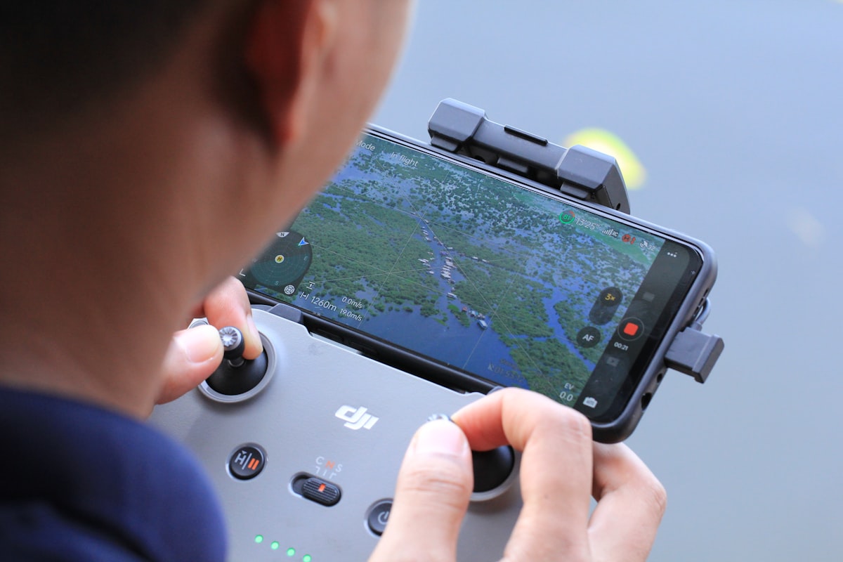
Quick answer: Drone mission planning is the structured process of converting a deliverable spec into a repeatable flight that captures the right data on the first attempt. A workable 2026 workflow has six stages: deliverable definition, site and airspace analysis, parameter selection (overlap, altitude, speed), safety integration (geofence, RTH, failsafe), software setup, and post-mission handoff. The mission planning software landscape is dominated by DJI Pilot 2, DroneDeploy, Pix4D, Skydio, Auterion, and Dronelink, with the proposed FAA Part 108 rule expected to materially expand BVLOS planning workflows in 2026.
Table of contents
- The state of drone mission planning in 2026
- Step 1: Define the deliverable, not the flight
- Step 2: Site and airspace analysis
- Step 3: Pick the flight pattern and parameters
- Step 4: Bake safety into the plan
- Step 5: Templates that scale across pilots and aircraft
- The mission planning software landscape
- Common planning mistakes that wreck missions
- What Part 108 changes for planning workflows
- FAQ
The state of drone mission planning in 2026
Mission planning has stopped being a back-office task and become a billable line item. Operators who run repeatable missions deliver consistent data; operators who plan ad hoc lose money on reflights. The drone flight-planning software market sat near $259 million in 2025 and is projected to reach $449 million by 2032 at roughly 8.3% CAGR, which tells the story: a market that small, growing that fast, is one where adoption is accelerating among contractors who used to fly on intuition.
Three forces are reshaping the discipline this year. First, Part 108 (the proposed FAA rule for routine BVLOS) is in the comment-and-finalization window, with the rule expected to land in spring 2026; once finalized, it will rewrite what mission planning software must do. Second, software has consolidated around a few dominant platforms (DJI, DroneDeploy, Pix4D, Skydio, Auterion), reducing the operational tax of switching tools. Third, the ASPRS Positional Accuracy Standards Edition 2 v2 published in 2024 added formal addenda for UAS, photogrammetry, and LiDAR, giving operators a real benchmark to plan against rather than vendor-defined accuracy claims.
The rest of this guide is the workflow that produces missions which actually hit those benchmarks.
Step 1: Define the deliverable, not the flight
Most failed missions fail at this step. The pilot accepts "we need a drone survey of the site" without nailing down the deliverable, picks reasonable-looking parameters, flies the mission, and only discovers the problem when the client asks for something the data cannot produce.
The deliverable definition has to answer four questions before any planning software opens:
- What output format? Orthomosaic, point cloud, contour map, 3D digital twin, thermal anomaly map, video, all of the above
- What absolute accuracy class? ASPRS class III at 5 cm horizontal? Sub-2 cm with ground control? "Visual only, no measurements"?
- What ground sample distance? 2 cm/pixel for facade defects, 5 cm/pixel for cut-fill volumes, 10 cm/pixel for stockpile estimates
- What handoff format? GeoTIFF for GIS, LAS/LAZ for survey, Speckle/IFC for BIM, raw imagery for the client's own pipeline
Every downstream parameter (altitude, overlap, sensor, GCP count, processing pipeline) flows from those four answers. Operators who write the deliverable spec into the job brief, sign it off with the client, and treat the flight as the production step rather than the conversation produce reflight rates an order of magnitude lower than operators who don't.
For mapping work specifically, the photogrammetry software chosen for processing also constrains the brief, because Pix4D, Agisoft Metashape, and RealityCapture each have their own preferred capture patterns and accuracy guarantees. Operators running mixed surveying and inspection workloads benefit from locking the deliverable spec at job-brief time, because the same flight rarely satisfies both job types without rework.
Step 2: Site and airspace analysis
Once the deliverable is locked, the site dictates whether the mission is even possible at the parameters the deliverable demands. Site analysis happens in two passes: desk research, then a physical walk if the project warrants it.
Desk research checklist
- Aerial imagery (satellite, current) for obstacles, vegetation, and access
- Topographic data for altitude planning and terrain-following decisions
- Airspace classification and ceiling at the site
- LAANC authorization status and the lead time required
- TFRs, NOTAMs, and any temporary restrictions issued in the last 24 hours
- Remote ID coverage and any local broadcast constraints
- Cellular and RTK base station coverage if the workflow requires either
- Sun angle and shadow direction for the planned flight window
- Wind history at the site over the past 30 days
Physical site walk
The walk catches what desk research misses: power lines that don't render in satellite imagery, magnetic interference near rebar or steel, dust sources that wreck sensors, wildlife that defends nesting territory aggressively. For projects with multiple repeat visits, the walk also identifies the launch and recovery zones that will become permanent fixtures of every future mission.
For multi-stakeholder sites, the walk should include whoever owns the access decision (site superintendent, landowner, security), so that mission-day surprises are fewer.
Step 3: Pick the flight pattern and parameters
This is where vendor guidance and operator judgement converge. The two largest planning platforms publish their default parameters; the table below combines those with practitioner conventions for the four most common mission types in commercial work.
| Mission type | Front overlap | Side overlap | Altitude AGL | Notes |
|---|---|---|---|---|
| General mapping (DroneDeploy default) | 75% | 65% | 90-120 m | Adequate for 5 cm GSD orthomosaics |
| Construction surveying | 75% | 70% | 80-120 m | Slightly higher side overlap for structures |
| Agriculture (Pix4D recommendation) | 80% | 80% | 100-150 m | Crop canopy is low-feature; needs higher overlap |
| Urban / 3D reconstruction (Pix4D) | 85% | 70% | 50-100 m | Add oblique passes at 30-45° for facades |
| Corridor / linear (Pix4D) | 85% | 60% | 60-100 m | Single-strip with high front overlap |
| Thermal mapping (Pix4D) | 90% | 90% | 60-90 m | Thermal sensors have low resolution, demand more overlap |
Two clarifications worth flagging. The often-cited "70/65 for agriculture" parameter is wrong against Pix4D's published guidance, which recommends 80/80 for crop fields because canopy texture is low-feature and lower overlap produces matching failures. Operators who copied 70/65 from generic templates and got blank patches in the orthomosaic learned this expensively. Second, altitude and speed are practitioner conventions rather than vendor standards, and they should adjust to the deliverable's GSD requirement: doubling the altitude doubles the GSD.
Pattern selection
- Grid pattern: default for area mapping, volumetric calculations, and general surveying
- Double-grid (cross-hatch): stronger 3D reconstruction, especially in urban environments
- Linear / corridor: roads, pipelines, transmission lines, perimeters
- Waypoint with custom actions: tower climbs, structural inspections, repeat-visit progress flights
- Terrain-following: variable terrain, mining, mountainous mapping (requires accurate DEM)
The mission planning software landscape covered later in this guide handles all five patterns, but their implementations differ in how cleanly they handle terrain following, oblique add-ons, and multi-battery missions.
Battery margins
The 25-30% battery reserve recommendation that circulates widely in operator circles is a practitioner convention rather than a vendor standard. It exists because real-world wind, temperature, and pilot intervention regularly increase consumption beyond the planning software's estimate. A defensible operating principle: target battery budget at the planned flight time plus reserve, then verify under actual site conditions during the first flight and adjust the template afterward.
Step 4: Bake safety into the plan
Safety should not live in a separate document the pilot reads on the way to the site. The plan itself should encode the failure modes.
Geofence and altitude limits
A geofence drawn around the site perimeter prevents fly-aways from leaving the operational area. A second buffer geofence, slightly inside, can trigger soft warnings before the hard boundary. Altitude ceiling should match the regulatory floor of the airspace, with operator-side margin to handle GPS drift.
RTH altitude and route
Return-to-home behavior on link loss is the single most consequential failsafe configuration. The RTH altitude needs to clear every obstacle on the return path; the RTH route should be planned, not assumed straight-line; and the post-RTH behavior (hover and wait, or auto-land) should match the operating environment.
Mission-class emergency procedures
For each mission class (routine survey, BVLOS, over-people, complex inspection), the plan should embed an emergency procedure block: loss-of-link, low battery, fly-away, fire response, medical. The pre-flight checklist template is the natural home for these; the planning workflow's job is to confirm the right template variant is loaded for today's mission class.
Documentation that survives an incident
Plans, parameter choices, and the operator's reasoning should be saved with the mission record, not in the pilot's head. After an incident, insurer and regulator scrutiny falls on the planning record first. Operators who can produce a documented decision trail close claims faster.
Step 5: Templates that scale across pilots and aircraft
Once a mission type has been flown three or four times, it should become a template. Templates compress planning time, eliminate copy-paste errors, and produce consistent records across pilots.
A useful template captures:
- Deliverable spec (locked, only changes with client signoff)
- Default parameters (overlap, altitude, speed, sensor mode)
- Aircraft-specific variants (different airframes have different battery budgets and payload behavior)
- Default safety parameters (geofence size, RTH altitude formula)
- Post-flight handoff procedure (file naming, processing destination, client delivery format)
The discipline that separates working templates from cargo-cult ones: templates evolve. Every reflight or near-miss should generate a template change, with the change reason logged in the template's revision history. Programs that treat templates as static documents drift away from operational reality within a year.
For multi-aircraft fleets, templates should be tied to pilot certifications and aircraft records, so the system refuses to load a template the operator is not authorized for.
The mission planning software landscape
Six platforms cover most commercial drone planning work in 2026. Brief assessment of each:
| Platform | Strengths | Best fit |
|---|---|---|
| DJI Pilot 2 / Fly | Tight integration with DJI hardware, free | DJI fleets, basic to intermediate missions |
| DroneDeploy | Strong cloud workflow, BVLOS approval, mature processing | Construction, surveying, recurring monitoring |
| Pix4D Capture / Mapper | Best-in-class photogrammetry guidance, hardware agnostic | Survey-grade mapping, accuracy-critical work |
| Skydio | Autonomy stack for inspection, defense lineage | Confined-space and inspection missions |
| Auterion / Skynode | Open architecture, enterprise integration | Custom workflows, fleet integration projects |
| Dronelink, Litchi, UgCS | Mid-market planning with deep waypoint control | Specialized missions, custom flight logic |
Choosing among them is rarely about features alone. The harder question is workflow fit: does the platform integrate with the processing stack (Pix4D Cloud, RealityCapture, OpenSpace), the fleet management system, the flight log automation pipeline, and the compliance reporting destination? An excellent planning tool that lives in a silo costs more time than a mediocre one that fits the workflow.
For a deeper feature-by-feature comparison, the drone mission planning software post walks DroneDeploy, Pix4D, and the others in detail, and the UAV flight planning software post covers the broader category.
Common planning mistakes that wreck missions
Patterns from incident debriefs and reflight requests:
- Parameters chosen by template, not by deliverable. A 75/65 template gets used on a crop field and produces matching failures because Pix4D recommends 80/80 there.
- Altitude set for battery, not GSD. Flying high to save battery produces a 7 cm GSD orthomosaic on a job that needed 3 cm. Reflight.
- GCPs ignored on accuracy-critical work. Onboard RTK is good, but absolute accuracy still benefits from ground control points, especially for legal-deliverable surveys.
- Single template for every aircraft. A Phantom 4 RTK mission template loaded on a Mavic 3 Enterprise will misjudge battery, sensor field of view, and shutter behavior.
- Weather check done at planning time, not 30 minutes before launch. METAR data at 9 AM does not predict 2 PM thermals.
- No post-mission feedback loop. Templates don't improve, and the same parameter mistakes recur across crews.
- BVLOS flown under Part 107 waiver expired last week. Authorization status checks belong in the planning workflow, not in the pilot's memory.
The unifying pattern: plans that are not connected to deliverable specs, aircraft records, weather, and authorizations all in one place produce missions that miss something. Planning is a system problem, not a tool problem.
What Part 108 changes for planning workflows
The FAA Part 108 NPRM published August 7, 2025 is the largest near-term change to drone mission planning since Part 107 itself. The comment period closed in October 2025 with over 3,000 submissions; the final rule is expected in spring 2026 with implementation rolling through late 2026 into early 2027.
For planning workflows specifically, Part 108 will:
- Replace per-flight BVLOS waivers with operational-area approvals, which planning software must encode
- Require detect-and-avoid (DAA) integration in the planning record
- Mandate continuous position tracking and UTM integration during the flight
- Tighten Remote ID broadcast verification at planning time, not just pre-flight
- Apply to aircraft up to 1,320 lb, expanding the scope of routine BVLOS operations
Operators planning BVLOS programs in 2026 should track Part 108 finalization closely. The training and certification window between final rule and implementation is short, and planning software updates will arrive in the same compressed window. DroneDeploy received nationwide BVLOS approval in January 2025 under the existing waiver process, which gives a preview of where the broader market is heading.
FAQ
What is drone mission planning?
Drone mission planning is the structured process of converting a deliverable spec (output format, accuracy, GSD, handoff requirements) into a repeatable flight that captures the right data on the first attempt. A complete plan covers the deliverable definition, site and airspace analysis, flight pattern and parameter selection, safety integration, software setup, and the post-mission handoff workflow.
What overlap should I use for drone photogrammetry?
It depends on the scene. Pix4D recommends 75% front and 60% side overlap for general mapping, 80/80 for agriculture, 85/70 for urban or 3D reconstruction, 85/60 for corridor mapping, and 90/90 for thermal. DroneDeploy's default is 75/65 for general mapping. Higher overlap produces better matching at the cost of flight time and battery.
What software do most commercial drone operators use for mission planning?
Six platforms cover most of the commercial market in 2026: DJI Pilot 2 and DJI Fly for DJI-hardware fleets, DroneDeploy and Pix4D for survey and mapping work, Skydio for autonomy-driven inspection, and Auterion or Dronelink for specialized and enterprise workflows. The right choice depends on workflow fit with processing, compliance, and fleet management systems, not on standalone features.
How will Part 108 change drone mission planning?
The proposed FAA Part 108 rule will replace per-flight BVLOS waivers with operational-area approvals, mandate detect-and-avoid integration, require continuous position tracking and UTM integration, and tighten Remote ID broadcast verification. The final rule is expected in spring 2026 with implementation through late 2026 and early 2027. Planning software platforms will update their workflows during the implementation window, and operators planning BVLOS programs should track the timeline closely.
How long does it take to plan a drone mission?
There is no published industry benchmark, and any specific number ("30 minutes for routine, 4 hours for complex") tends to be marketing copy. The honest answer: planning time scales with mission novelty, deliverable complexity, and airspace difficulty. Routine repeat missions in templates take minutes; first-time missions on complex sites with custom deliverables can run a full day before the aircraft leaves the case.
Bottom line
The mission planning workflow that scales has six stages: define the deliverable, analyze site and airspace, pick parameters from verified vendor guidance (Pix4D and DroneDeploy publish theirs), bake safety into the plan, build templates that evolve, and run the planning record through the same system that holds aircraft, pilots, and compliance status. Software choice matters less than workflow integration. Part 108 is the regulatory unlock to track in 2026.
Ready to run mission planning on the same platform as the rest of operations?
DroneBundle ties mission plans to aircraft records, pilot certifications, weather integration, live tracking, and the post-flight pipeline, so a plan written today produces a record an insurer or regulator can read a year from now. Templates are versioned. Parameter changes leave a trail. Compliance is a query, not a binder.
Start your free trial today, no credit card required.
Or try the live demo to see the planning workflow connect end to end with the broader operations platform.