Drones for surveying revolutionize data collection by providing fast, accurate, and cost-effective aerial mapping solutions with advanced sensors, photogrammetry, and operational considerations across various industries.
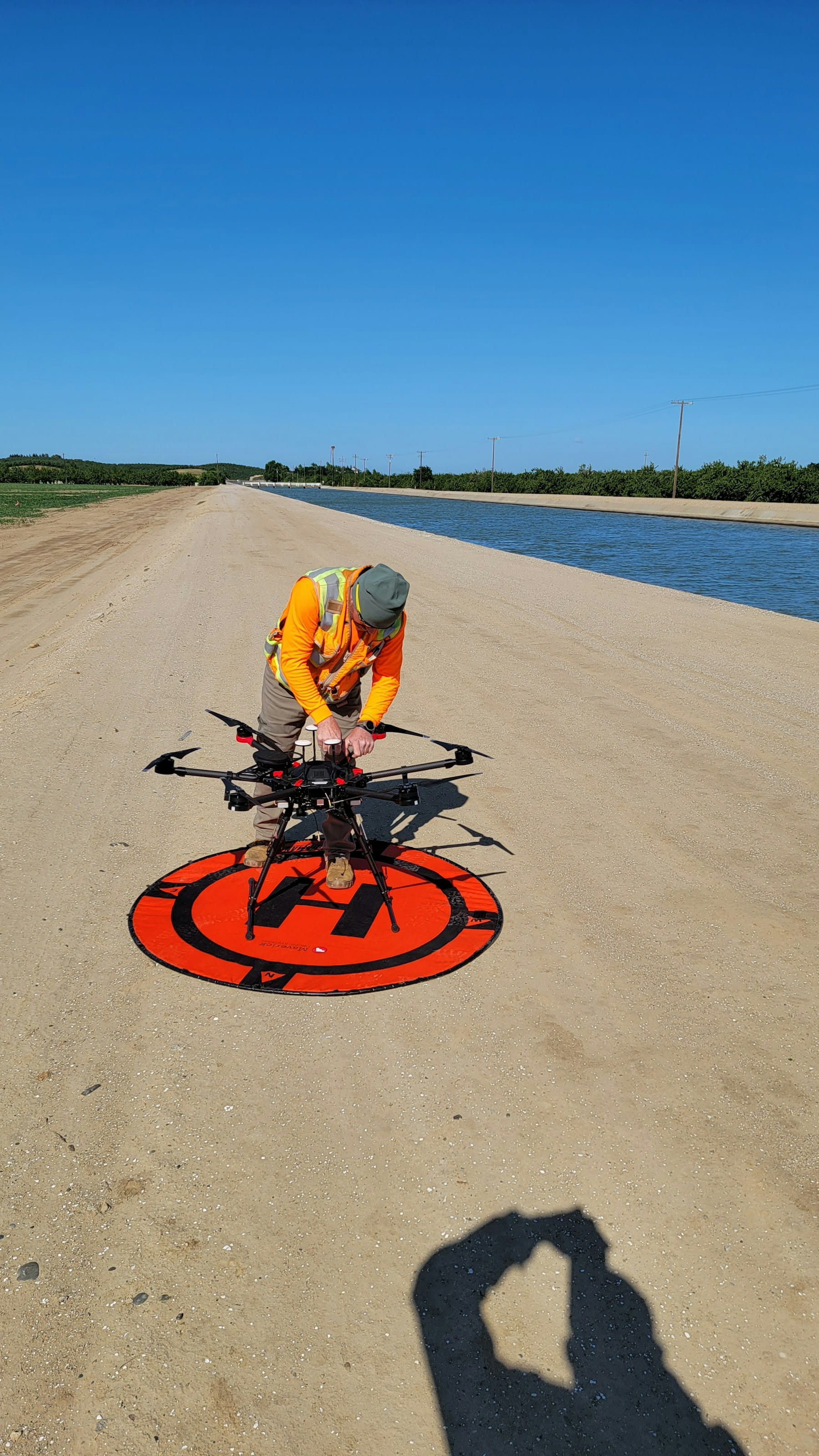
Professional surveying has undergone a dramatic transformation with drone technology. These unmanned aerial vehicles now capture precise geospatial data faster than traditional methods while reducing costs and improving accuracy. The shift from ground-based surveying to aerial platforms represents more than just technological advancement—it's a fundamental change in how professionals approach data collection.
Modern surveying drones combine high-resolution cameras, GPS technology, and advanced sensors to create detailed maps and 3D models. But the real magic happens when photogrammetry software processes thousands of overlapping images into actionable intelligence. This combination produces survey-grade results that meet professional standards across industries.
Table of contents
- Key technologies in surveying drones
- Types of surveying applications
- Benefits of drone surveying
- Technology comparison: RGB vs multispectral vs LiDAR
- Data processing and output formats
- Flight planning and execution
- Accuracy requirements and ground control
- Industry-specific considerations
- Challenges and limitations
- Equipment selection criteria
- Future trends and developments
Key technologies in surveying drones
RTK and PPK positioning systems
Real-time kinematic (RTK) positioning delivers centimeter-level accuracy by receiving correction signals from base stations. This technology reduces dependency on ground control points and streamlines field operations. Post-processing kinematic (PPK) offers similar accuracy but processes corrections after flight completion, providing flexibility when real-time corrections aren't available.
The choice between RTK and PPK often depends on project requirements and available infrastructure. RTK excels in areas with reliable cellular coverage or when base stations can be deployed nearby. PPK works better in remote locations where real-time communication proves challenging.
Camera systems and sensors
High-resolution RGB cameras form the backbone of most surveying operations. Mechanical shutters prevent motion blur during high-speed flights, producing crisp images suitable for photogrammetry processing. Full-frame sensors capture more detail per image, reducing the total number of photos needed for complete coverage.
Multispectral sensors add another dimension by capturing data beyond visible light. These specialized cameras reveal vegetation health, moisture content, and other characteristics invisible to standard cameras. The additional spectral bands provide valuable information for agricultural applications and environmental monitoring.
Photogrammetry processing
Photogrammetry software transforms overlapping photographs into georeferenced maps and 3D models. The process requires careful attention to image overlap—typically 70-80% forward and 60% side overlap for optimal results. More overlap generally produces better results but increases processing time.
Structure from motion algorithms identify common features across multiple images to calculate camera positions and reconstruct scene geometry. This computational process creates point clouds containing millions of precisely positioned measurements.
Types of surveying applications
Topographic surveying
Topographic surveys capture terrain features, elevation changes, and natural boundaries. Drones excel at covering large areas quickly while maintaining consistent ground sample distance across varied terrain. The resulting digital elevation models support engineering design, flood modeling, and infrastructure planning.
Traditional topographic surveys require extensive fieldwork with total stations and GPS rovers. Drone surveys reduce field time significantly while providing comprehensive coverage that might be impractical with ground methods alone.
Cadastral and boundary surveys
Property boundary determination demands high accuracy and legal defensibility. Survey-grade drones equipped with RTK systems can achieve the precision required for cadastral mapping while reducing fieldwork time. The visual context provided by orthomosaic imagery helps identify boundary markers and property features.
However, legal requirements vary by jurisdiction. Some areas still require physical monument placement and verification regardless of drone survey accuracy. Understanding local regulations prevents costly rework and ensures compliance with professional standards.
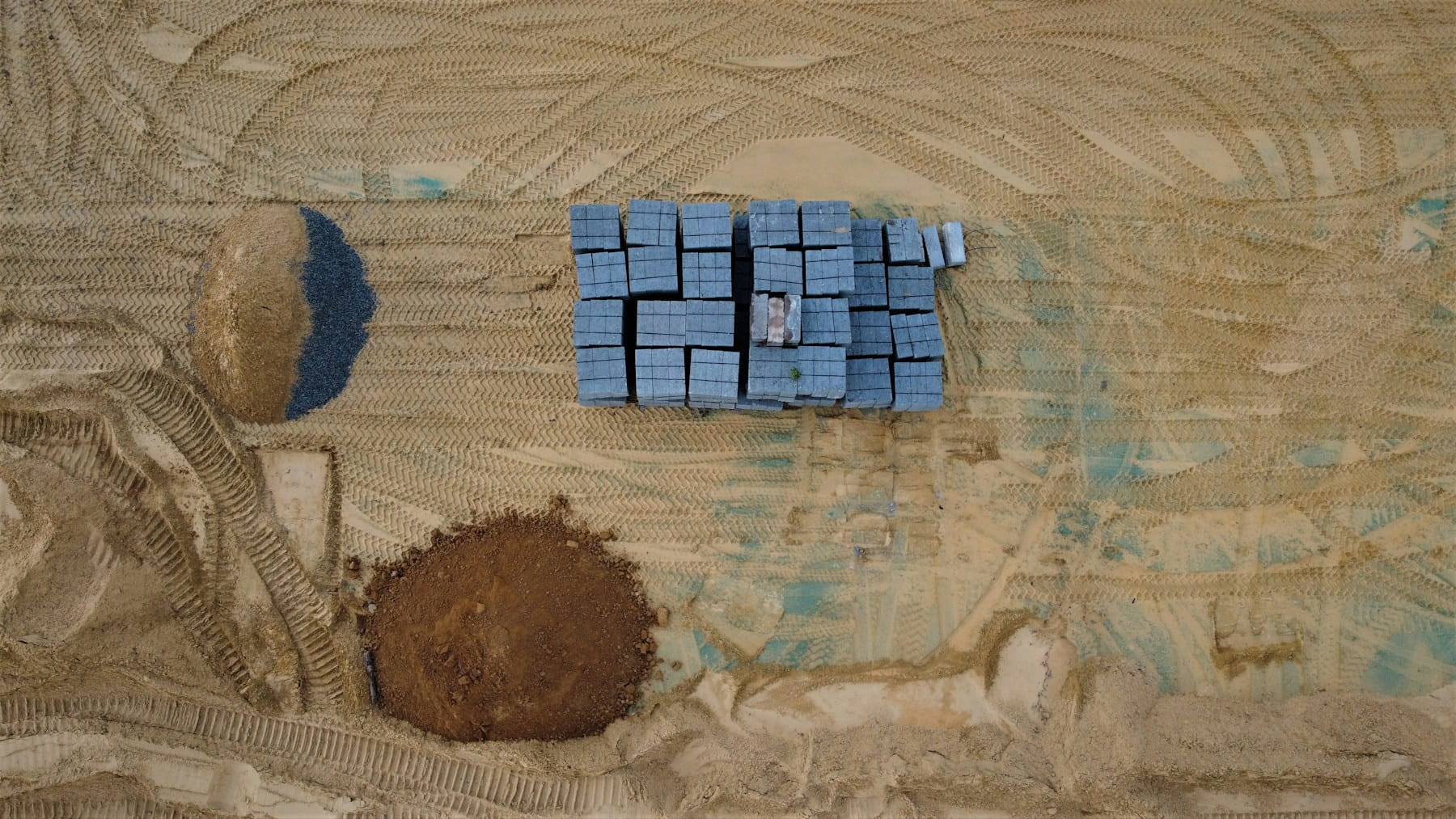
Construction monitoring
Construction sites benefit from regular progress monitoring and volume calculations. Drones capture current conditions quickly, enabling comparison with design plans and previous surveys. Cut-and-fill calculations help optimize material management and track earthwork progress.
Weekly or monthly drone flights create a visual record of project progression. This documentation proves valuable for project management, client communication, and dispute resolution when questions arise about work completion or material quantities.
Infrastructure inspection
Bridges, power lines, and large structures present access challenges for traditional inspection methods. Drones safely reach difficult locations while capturing high-resolution imagery for detailed analysis. The ability to hover and position cameras precisely enables thorough documentation of structural conditions.
Thermal imaging capabilities add another inspection dimension by revealing heat patterns that indicate electrical problems, moisture intrusion, or structural defects. Combined with RGB imagery, thermal data provides comprehensive condition assessment.
Benefits of drone surveying
Time efficiency
Drone surveys dramatically reduce data collection time compared to traditional methods. A single operator can survey hundreds of acres in a few hours—work that might take a ground crew several days to complete. Flight automation allows consistent coverage patterns while the pilot monitors operations and weather conditions.
Processing time depends on project size and desired output quality, but modern software handles large datasets efficiently. Many projects can be processed overnight, delivering results the next business day.
Cost reduction
Lower labor requirements directly translate to reduced project costs. One pilot with a drone system can replace a multi-person survey crew for many applications. Equipment costs are typically lower than traditional survey instruments when considering total system capabilities.
Reduced travel time to remote areas provides additional savings. Drones can access difficult terrain without the expense of specialized transportation or safety equipment required for ground crews.
Safety improvements
Surveying hazardous areas becomes much safer when human exposure is eliminated. Industrial sites, steep terrain, and unstable slopes pose significant risks to ground crews. Drones collect data from a safe distance while providing comprehensive coverage.
Traffic control requirements decrease when surveys can be completed without personnel on active roadways. This reduces project risk and eliminates the need for costly traffic management services in many situations.
Data completeness
Aerial perspective reveals features and patterns not apparent from ground level. Complete area coverage ensures no significant details are missed—a common concern with point-based ground surveys. The visual context helps interpret survey data and identify potential issues.
Dense point clouds contain far more measurement points than practical with traditional surveys. This comprehensive dataset supports detailed analysis and provides backup data for quality verification.
Technology comparison: RGB vs multispectral vs LiDAR
RGB camera advantages
Standard RGB cameras offer the best balance of cost, capability, and ease of use for most surveying applications. High-resolution sensors capture detailed imagery suitable for photogrammetry processing while remaining relatively affordable. The resulting orthomosaic images are immediately interpretable by project stakeholders.
Image quality from modern RGB cameras often exceeds requirements for standard surveying applications. Twenty-megapixel cameras provide sufficient resolution for most mapping projects while maintaining reasonable file sizes and processing times.
Multispectral capabilities
Multispectral cameras capture data across multiple wavelengths, revealing information invisible to human vision. Vegetation health indices like NDVI help optimize agricultural management and environmental monitoring. Near-infrared bands can penetrate haze and improve image contrast in challenging conditions.
The additional data comes at increased cost and complexity. Multispectral sensors typically have lower resolution than RGB cameras, requiring closer flight altitudes or accepting larger ground sample distances. Processing workflows also become more complex with multiple spectral bands.
LiDAR precision
Light detection and ranging (LiDAR) systems use laser pulses to measure precise distances, creating detailed point clouds independent of lighting conditions. The technology excels at penetrating vegetation to map ground surfaces beneath forest canopies. Point cloud data provides sub-centimeter accuracy for demanding applications.
LiDAR systems cost significantly more than camera-based solutions and require specialized processing software. The technology makes sense for projects requiring extreme accuracy or when operating in heavily vegetated areas where photogrammetry struggles.
Data processing and output formats
Orthomosaic generation
Orthomosaic images combine hundreds or thousands of individual photographs into a single georeferenced map. The process corrects for camera angle, terrain relief, and lens distortion to create a uniform scale image suitable for measurement and analysis.
Ground sample distance determines the level of detail visible in the final orthomosaic. Smaller GSD values provide higher resolution but require lower flight altitudes and more processing time. Most surveying applications work well with 2-5 cm ground sample distance.
Digital elevation models
Digital elevation models (DEMs) represent terrain elevation without surface features like vegetation or buildings. These models support drainage analysis, slope calculations, and cut-and-fill volume estimates. Accurate DEMs require careful ground control point placement and verification.
Digital surface models (DSMs) include all surface features in the elevation data. The difference between DSM and DEM reveals vegetation height and building dimensions—valuable information for forestry and urban planning applications.
Point cloud data
Dense point clouds contain millions of precisely positioned 3D coordinates representing surface features. This raw data format preserves maximum detail and allows custom analysis workflows. Point clouds can be filtered, classified, and processed into various derivative products.
File sizes become substantial with dense point clouds, requiring adequate storage and processing capability. Cloud-based processing services help manage computational requirements for large projects while providing access to advanced algorithms.
Standard output formats
Industry-standard formats ensure compatibility with existing workflows and software systems. GeoTIFF files work with most GIS and CAD applications while preserving spatial reference information. LAS files provide standardized point cloud storage with classification codes for different feature types.
PDF reports with embedded maps and measurements provide clear communication to clients who may not have specialized software. Web-based viewers allow stakeholders to examine results without installing additional applications.
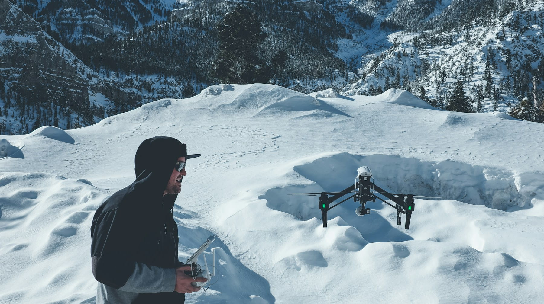
Flight planning and execution
Mission planning software
Automated flight planning ensures consistent coverage patterns and optimal image overlap. Most drone platforms include mission planning tools that calculate flight paths based on desired ground sample distance and overlap parameters. Implementing systematic pre-flight procedures ensures mission success. Waypoint navigation maintains consistent altitude above ground level even over varied terrain.
Battery management becomes critical for large survey areas requiring multiple flights. Planning software calculates flight duration and suggests logical break points for battery changes while maintaining proper image overlap between flight segments.
Weather considerations
Wind conditions directly impact image quality and flight safety. Strong winds cause camera shake and make it difficult to maintain precise flight paths. Most surveying drones operate safely in winds up to 15-20 mph, but image quality may suffer in gusty conditions.
Lighting conditions affect image quality and processing results. Overcast skies provide even illumination that reduces shadows and improves photogrammetry processing. Bright sunlight creates harsh shadows that can hide terrain features and complicate automated processing.
Altitude optimization
Flight altitude balances coverage efficiency with ground sample distance requirements. Higher altitudes cover more area per flight but reduce image resolution. Lower altitudes provide finer detail but require more flights and longer processing times.
Terrain following maintains consistent ground sample distance over varied topography. Most advanced flight planning systems include terrain awareness that adjusts altitude automatically to maintain optimal camera distance from the surface.
Accuracy requirements and ground control
Survey-grade accuracy
Professional surveying applications often require centimeter-level accuracy that meets legal and engineering standards. RTK-equipped drones can achieve this precision when properly calibrated and operated under suitable conditions. Base station setup and atmospheric corrections play critical roles in achieving survey-grade results.
Quality control procedures verify accuracy through independent check points surveyed with conventional methods. Comparing drone-derived coordinates with ground truth measurements validates system performance and identifies potential issues before delivering final products.
Ground control point strategies
Ground control points (GCPs) improve absolute accuracy and provide verification of survey quality. Strategic placement near project corners and throughout the survey area helps control geometric distortion in large projects. Well-distributed control points prevent accuracy degradation at project edges.
RTK systems reduce GCP requirements but don't eliminate them entirely for critical applications. A combination of RTK positioning and strategic ground control provides optimal accuracy while minimizing fieldwork requirements.
Coordinate systems and projections
Consistent coordinate systems ensure compatibility with existing data and client requirements. Local coordinate systems may provide better accuracy for small projects, while standard systems like state plane coordinates facilitate data sharing and integration with other datasets.
Vertical datums require special attention since GPS provides ellipsoid heights rather than orthometric elevations. Geoid models convert between these systems, but accuracy depends on local geoid quality and may require additional verification.
Industry-specific considerations
Construction and engineering
Construction projects benefit from regular progress monitoring and quantity tracking. Drone surveys provide visual documentation of work completion while calculating accurate volumes for billing and materials management. The ability to compare current conditions with design plans helps identify deviations early.
Engineering applications often require specific deliverables like contour maps at defined intervals or cross-sections along proposed alignments. Understanding these requirements during planning ensures the survey captures appropriate data for final deliverables.
Agriculture and precision farming
Agricultural applications focus on crop health monitoring and field management optimization. Multispectral imagery reveals vegetation stress patterns and guides variable rate applications of fertilizers and pesticides. Regular monitoring throughout growing seasons tracks crop development and identifies problems early.
Field boundary mapping supports precision agriculture equipment and helps optimize planting patterns. Accurate acreage calculations are needed for insurance claims and subsidy applications. The visual record also documents field conditions for crop insurance purposes.
Environmental monitoring
Environmental surveys often cover large areas with difficult access. Drone surveys can document conditions without disturbing sensitive habitats while providing comprehensive coverage of wetlands, forests, and other protected areas. Regular monitoring tracks changes over time and supports management decisions.
Multispectral data reveals environmental conditions not visible to standard cameras. Vegetation health indices, water quality indicators, and thermal patterns provide scientific data for environmental assessment and remediation planning.
Real estate and development
Real estate applications benefit from aerial photography combined with accurate measurements. Property marketing materials showcase site features while providing potential buyers with detailed information about lot sizes and development potential. The visual perspective helps communicate site characteristics more effectively than traditional survey methods.
Development planning requires accurate topographic information and feature identification. Drone surveys provide the base data needed for site design while documenting existing conditions for permitting and approvals processes.
Challenges and limitations
Weather dependency
Weather conditions significantly impact drone survey operations and data quality. Rain obviously prevents flying, but wind, fog, and extreme temperatures also create operational challenges. Project schedules must account for weather delays and seasonal variations in operating conditions.
Seasonal changes affect vegetation appearance and accessibility. Leaf-off conditions improve ground visibility in forested areas but may be undesirable for applications requiring current vegetation assessment. Planning survey timing around seasonal requirements optimizes data quality for specific applications.
Regulatory compliance
Aviation regulations continue to evolve as drone technology advances. Part 107 rules in the United States require pilot certification and impose operational limitations that may affect survey procedures. Understanding comprehensive compliance requirements ensures all regulatory obligations are met. Beyond visual line of sight operations require special permissions that can complicate large-area surveys.
Client facilities may impose additional restrictions beyond aviation regulations. Sensitive sites require security clearances and operational procedures that add complexity to survey planning. Understanding all applicable regulations prevents project delays and compliance issues.
Processing requirements
Large datasets require substantial computational resources and storage capacity. Processing hundreds of gigabytes of imagery can overwhelm standard computer systems and require cloud-based services or specialized hardware. File management becomes critical with multiple projects generating terabytes of data.
Software licensing costs can be significant for professional photogrammetry applications. Subscription models provide access to advanced algorithms but create ongoing operational expenses. Evaluating processing requirements helps determine the most cost-effective approach for different project types.
Quality assurance
Maintaining consistent quality across projects requires standardized procedures and regular equipment calibration. Camera calibration parameters drift over time and with temperature changes. Regular verification flights using known control networks help identify equipment issues before they affect project deliverables.
Data validation requires independent verification methods to catch processing errors or equipment malfunctions. Check points surveyed with conventional methods provide quality control that builds client confidence in drone survey results.
Equipment selection criteria
Platform capabilities
Platform selection depends on payload requirements, flight duration needs, and operating environment. Multirotor drones offer simplicity and hovering capability but have limited endurance. Fixed-wing platforms cover larger areas efficiently but require runway space and may struggle in confined areas.
Weather resistance varies significantly between platforms. Some systems operate in light rain while others require perfect conditions. Understanding environmental requirements helps match equipment capabilities with typical operating conditions.
Sensor selection
Camera selection balances resolution, cost, and application requirements. Higher megapixel counts provide finer detail but create larger files and longer processing times. Mechanical shutters prevent motion blur but add weight and complexity compared to electronic shutters.
Lens quality affects image sharpness and geometric accuracy. Professional mapping cameras include calibrated lenses with known distortion parameters. This calibration data improves photogrammetry accuracy and ensures consistent results across different equipment.
Software integration
Workflow efficiency depends on software compatibility between flight planning, data processing, and deliverable generation. Integrated solutions streamline operations but may limit flexibility in processing options. Open formats provide flexibility but require more manual data handling.
Training requirements vary significantly between software packages. User-friendly interfaces reduce learning curves but may sacrifice advanced capabilities. Balancing ease of use with functionality requirements helps optimize operational efficiency.
Support and maintenance
Equipment reliability directly impacts project schedules and profitability. Manufacturer support quality and parts availability become critical when equipment failures occur during time-sensitive projects. Implementing comprehensive maintenance protocols ensures optimal equipment performance. Extended warranties and rapid repair services provide operational insurance.
Training and technical support help maximize equipment capabilities while avoiding operational mistakes. Comprehensive training programs reduce operator errors that can compromise data quality or create safety hazards.
Future trends and developments
Automation advances
Artificial intelligence increasingly automates routine tasks like feature identification and quality control. Machine learning algorithms can identify ground control points, classify terrain features, and detect processing errors without human intervention. These advances reduce manual labor while improving consistency.
Automated flight operations continue expanding with improved obstacle avoidance and traffic management systems. Future systems may operate with minimal human oversight while maintaining safety and quality standards.
Sensor improvements
Camera technology continues advancing with higher resolutions, improved low-light performance, and specialized sensors for specific applications. Hyperspectral cameras provide hundreds of spectral bands for detailed material identification. Thermal sensors offer improved resolution and temperature accuracy for infrastructure inspection.
Integration of multiple sensors on single platforms reduces operational complexity while providing comprehensive datasets. Combined RGB, thermal, and LiDAR systems capture complementary information in single flights.
Processing efficiency
Cloud computing resources make advanced processing algorithms accessible without substantial hardware investments. Real-time processing during flight operations could provide immediate quality feedback and reduce repeat flights for data gaps or quality issues.
Edge computing brings processing power closer to data collection sites, reducing data transfer requirements and enabling faster results delivery. Mobile processing units could provide same-day deliverables for time-critical applications.
Regulatory evolution
Aviation authorities worldwide continue developing regulations that balance safety with operational flexibility. Beyond visual line of sight operations and flights over people will expand survey capabilities while maintaining public safety. Standardized operating procedures will improve consistency across operators.
Integration with air traffic management systems will enable routine operations in controlled airspace. Automated traffic coordination could allow multiple drone operations in the same area without conflicts.
Why Professional Drone Surveying Systems Matter for Modern Operations
Managing commercial drone surveying operations requires sophisticated coordination of technology, regulatory compliance, and quality assurance. Professional operators who implement comprehensive surveying protocols gain significant operational advantages while maintaining survey-grade accuracy standards through systematic flight data monitoring.
- Precision delivery: Survey-grade accuracy meets professional standards while reducing field time and operational costs
- Operational efficiency: Automated flight planning and processing workflows enable faster project completion
- Regulatory confidence: Comprehensive compliance management ensures adherence to aviation regulations and professional standards
- Quality assurance: Systematic procedures and verification protocols maintain consistent results across projects
Getting Started with Professional Drone Surveying
- Assess survey requirements and determine appropriate accuracy standards for target applications
- Select compatible equipment balancing sensor capabilities, accuracy requirements, and operational needs
- Establish quality procedures including ground control strategies and verification protocols
- Implement compliance frameworks ensuring regulatory adherence and professional standards
- Develop processing workflows for consistent deliverable generation and quality control
Essential preparation: Before deploying surveying drones professionally, ensure your operational framework addresses accuracy verification, quality control procedures, and integration with existing surveying workflows.
In Summary
Drone surveying technology continues reshaping how professionals collect geospatial data. The combination of improved hardware, sophisticated software, and evolving regulations creates new opportunities while addressing traditional surveying challenges. Success requires understanding both technical capabilities and operational limitations while maintaining professional standards.
Ready to Transform Your Surveying Operations?
Join surveying professionals who have revolutionized their data collection capabilities through advanced drone systems and comprehensive operational management. Whether you're conducting topographic surveys, construction monitoring, or specialized mapping projects, sophisticated surveying technologies enable precision results and operational excellence.
Start your free trial today — no credit card required.
Or book a demo to see how DroneBundle integrates surveying workflows with compliance management, maintenance tracking, and performance analytics in a platform designed specifically for professional surveying operations.
Transform your surveying capabilities into competitive advantages. With comprehensive drone surveying systems and professional operational support, every project becomes an opportunity to demonstrate technical expertise and deliver superior mapping outcomes.