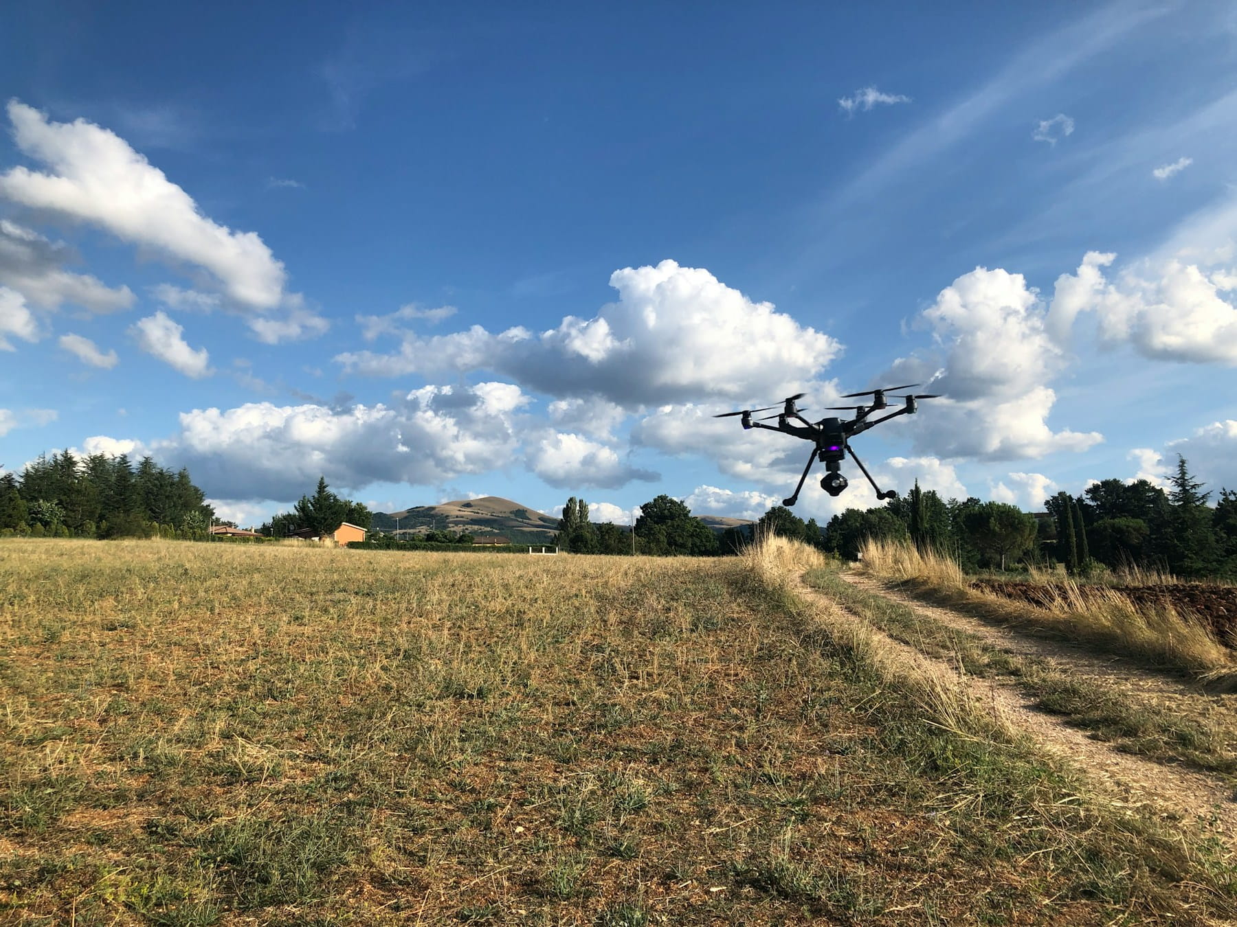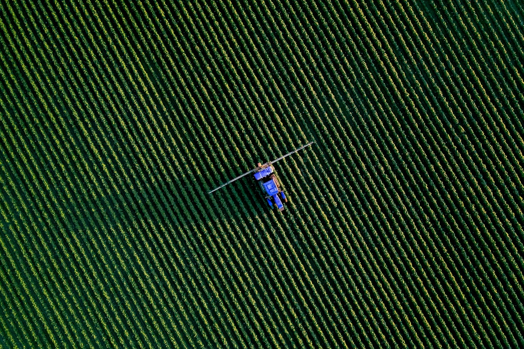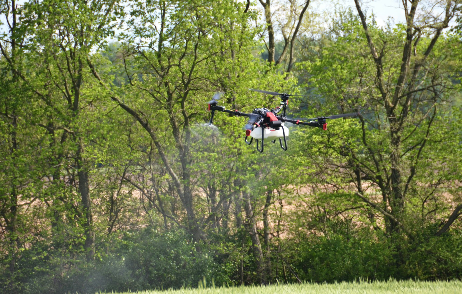
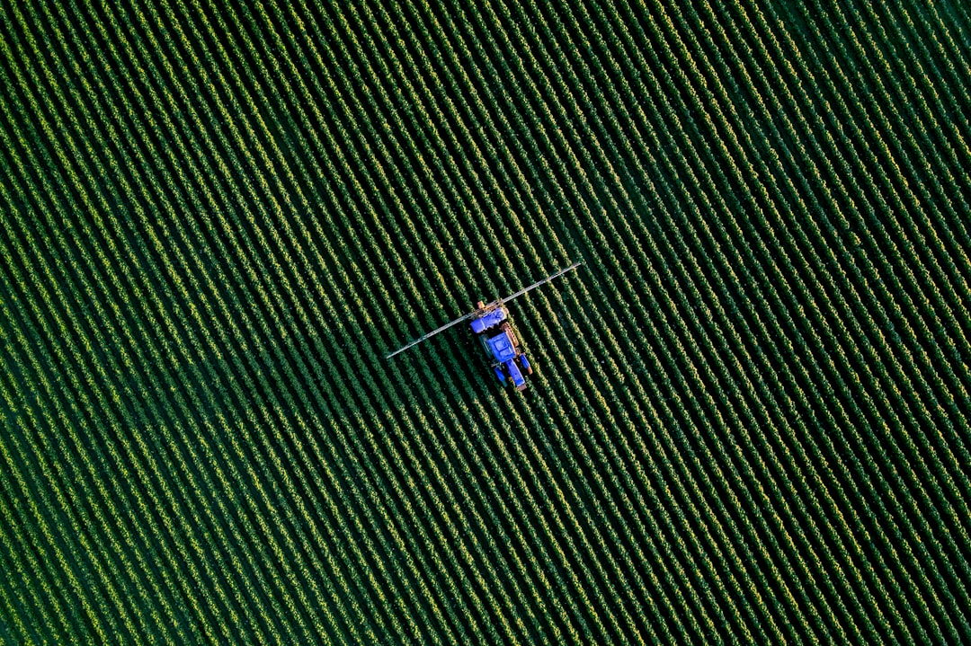
Agriculture drone software is not one product. It is four: application control, agronomy and mapping, farm management, and operations. Buyers who shop for one of them find out about the other three in the middle of a spray season.
If you search for agriculture drone software you get a list of mapping platforms. DroneDeploy, Pix4Dfields, Sentera FieldAgent, Botlink, DroneMapper. They are good tools and they solve a real problem, which is turning imagery into an agronomic decision. But none of them controls a spray boom, none of them holds your Part 137 records, and none of them tells you whether the pilot you dispatched on Thursday still has a current remote pilot certificate.
This guide covers the whole stack, including the parts that do not appear in any comparison article: the application records a federal inspector can ask for, the FAA validation letters that started landing in ag operators' inboxes, and the hardware question that now sits underneath every software decision in this market.
The four categories of agriculture drone software
Agriculture drone software divides into four categories sold by four different sets of vendors, and no single product covers all four. Understanding the split before you buy is the difference between a stack that works and three subscriptions that overlap in the wrong places.
Category one: application control. The software that actually flies the spray or spread mission and meters the output. DJI's Agras app and SmartFarm, XAG's One and Agri systems, Hylio's AgroSol. This layer defines the field boundary, plans swath and overlap, manages flow rate against ground speed, handles terrain following over rolling ground, and coordinates multiple aircraft on the same field. It is usually tied to the airframe you bought and you do not really get to choose it.
Category two: agronomy and mapping. Capture and processing platforms that produce orthomosaics, NDVI and NDRE layers, stand counts, drainage models and management zones. DroneDeploy, Pix4Dfields, Sentera, Solvi, DJI Terra. Our guide to drone photogrammetry software covers how this layer works under the hood.
Category three: farm management information systems. Climate FieldView, John Deere Operations Center, Agrian, AgLeader SMS. This is where the field record of truth lives for the grower: planting, inputs, yield, and the prescription that eventually drives the machine. Drone data is an input to this layer, not a replacement for it.
Category four: operations. Job intake, scheduling, crew and aircraft assignment, certificate currency, weather go/no-go, flight records tied to the job, client delivery, invoicing. This is the business around the flying.
Categories one, two and three compete for attention and marketing budget. Category four does not compete with any of them, which is exactly why it falls out of the procurement conversation and then reappears as a problem in July. Most commercial ag drone operators end up buying from two or three of these groups, not one.
If you are still deciding whether to build an ag drone service at all, start with our overview of agricultural drones and the practical economics in drone spraying cost per acre before you evaluate any platform.
The records your software probably does not keep
If you hold a commercial Agricultural Aircraft Operator Certificate, 14 CFR 137.71 requires you to maintain four specific records at your designated home base of operations, keep them for at least 12 months, and produce them for the FAA on request. Almost no agriculture drone software stores all four.
The four are:
- The name and address of each person for whom agricultural aircraft services were provided.
- The date of the service.
- The name and quantity of the material dispensed for each operation conducted.
- The name, address and certificate number of each pilot used, plus the date that pilot met the knowledge and skill requirements of 137.19(e).
Read item four again. It is a per-pilot competency record with a date attached, and it is the one that trips people up, because it lives in a folder on someone's laptop rather than anywhere near the flight data. Your spray controller knows the flow rate. Your mapping platform knows the field boundary. Neither one knows who was qualified to fly on the day, which is the thing the regulator actually asks about.
Then there is the pesticide side, which is a separate regime with separate records.
On the federal level, USDA rescinded its restricted use pesticide recordkeeping regulations for certified applicators effective July 11, 2025, on the grounds that the program had been unfunded since 2012 and the rules were obsolete. A lot of operators read that headline and concluded that RUP records no longer matter. That is the wrong conclusion. The binding requirement for commercial applicators runs through state certification plans, and 40 CFR 171.303 requires every approved state plan to make certified commercial applicators record and keep, for at least two years, a defined list:
| Required field | What it means for a drone application |
|---|---|
| Name and address of the customer | The grower or the agronomy retailer who hired you |
| Location of the application | Field identifier, not just a GPS pin in the controller |
| Size of area treated | Actual acres flown, which is rarely the acres quoted |
| Crop, commodity or site treated | Per field, per pass |
| Time and date of application | Start and end, matched to the flight log |
| Brand or product name | From the label, exactly |
| EPA registration number | The number nobody writes down until the audit |
| Total amount applied per location | Tank mix math, per field |
| Name and certification number of the certified applicator | And any non-certified applicator working under supervision |
That last row deserves attention because drone spraying breaks an assumption baked into the rule. In manned aerial application the pilot and the certified applicator are usually the same person. In a drone operation they frequently are not. You can have a remote pilot in command flying under Part 107 and an entirely different person holding the pesticide applicator license, and your records need to name both, correctly, per application. Add the state layer on top: many states impose shorter reporting deadlines, extra fields, or notification requirements for sensitive areas, and drone-specific rules are still being written in several of them.
Nothing in the mapping-platform category touches any of this. That is not a criticism of those tools. It is a category boundary, and knowing where it sits is what stops you assuming coverage you do not have.
The practical fix is boring and effective: make the job record the container. One job holds the client, the field, the pilot with a certificate you can prove was valid on that date, the aircraft, the product and rate, the flight log, and the weather at the time of application. That is what an operations platform does, and it is why we treat pilot certification tracking and flight log automation as compliance features rather than convenience features.
The FAA is validating ag exemption holders now
The FAA has started sending Requests for Information to Part 137 exemption holders and conducting operational validations, because it found operators flying outside the conditions and limitations of their own exemptions. This is stated plainly at the top of the FAA's dispensing chemicals page, and it changes the record-keeping calculus for every ag drone business in the United States.
The agency's own wording is that the validations exist to ensure each exemption holder "fully understands their obligations," including basic requirements like holding a remote pilot certificate and registering the aircraft. If a petition draws an RFI and the operator does not respond, the FAA closes the petition.
Here is why that matters for a software decision. Your exemption is not a general permission to spray. It is a document with numbers in it: a maximum altitude, an airspeed limit, aircraft listed by make, model and registration number, named pilots, a chief supervisor of operations, and an ATO-issued COA governing where you can fly. Compliance means every single flight sits inside those numbers, and proving compliance means being able to pull the flights back out again months later.
The current process, for reference:
- Register the aircraft. Under 55 lbs including the substance dispensed, you operate under Part 107 with an FA number and need relief from 107.36 plus several Part 137 sections. At 55 lbs or more you are under Part 91 and Part 137 with an N-number.
- Petition for exemption at least 120 days before you need it, or 120 days before your current exemption expires.
- Submit the operational information: legal name and physical address, chief supervisor of operations with contact details, pilot in command name and certificate number, and each aircraft by make, model and FA or N-number.
- Apply for the AAOC using Form 8710-3 after the exemption number is issued, emailed to the FAA's Part 137 certificates address. The streamlined process introduced in late 2024 removed the trip to your local FSDO.
Newer exemption generations have loosened some limits, including higher airspeed allowances tied to manufacturer recommendations and, in the most recent versions, limited beyond visual line of sight operations with visual observers and detection requirements. Those are conditional privileges, not defaults, and they raise rather than lower the documentation burden. Our guide to BVLOS operations covers that side.
One detail that catches new ag operators: the aircraft list in your exemption is specific. Buying a second airframe mid-season and flying it under the same exemption without amending the document is exactly the kind of thing an operational validation surfaces. Track the tail numbers in your equipment records, not in your memory.
The hardware question underneath every software decision
Roughly three quarters of the US agricultural drone market runs on DJI airframes, and as of 2026 those airframes sit on the FCC Covered List. Any agriculture drone software decision you make in this market is therefore partly a bet on hardware continuity.
The short version, and the Center for Agricultural Law and Taxation at Iowa State has the clearest ag-focused write-up of it: on December 22, 2025 the FCC's Public Safety and Homeland Security Bureau added all foreign-produced UAS and critical components to the Covered List as a class, and separately added all communications equipment, video surveillance technology and services from DJI and Autel. A January 7, 2026 action exempted certain categories of foreign UAS until January 1, 2027, but no DJI or Autel products were among them. DJI filed a petition for reconsideration on January 21, 2026 and the challenges are ongoing.
What that means practically:
- Equipment you already own can still fly. The listing controls new authorizations, marketing, sale and import, not the legality of operating existing aircraft.
- Software updates are the real exposure. The prohibition extends to software updates for covered devices. The FCC waived that limitation through January 1, 2029. Beyond that date, nobody can tell you what happens to your firmware, your flight app, or the cloud service your spray records live in.
- Replacement heavy-lift is thin and expensive. Domestic and allied-manufacturer alternatives exist in the spray category but are less mature and cost more per liter of tank capacity.
The software consequence is data portability. If your application records live only inside a manufacturer's cloud app, your compliance history is coupled to a hardware vendor whose US future is being litigated. Ask any vendor, including us, three questions: can I export everything, in what format, and what happens to the export if the aircraft integration is switched off. Our data ownership page is our answer, and we cover the broader market situation in the DJI ban explained.
Keeping a manufacturer-independent record of flights, applications and pilots is not a hedge against DJI specifically. It is a hedge against every vendor.
Prescription handoff: the formats that decide your stack
The compatibility question that determines whether your agriculture drone software stack actually works is file format, and it gets almost no coverage in platform comparisons. A prescription map is worthless if the machine that has to execute it cannot read it.
Three format families matter:
- Shapefile and GeoTIFF. The common currency between agronomy platforms and DJI Agras aircraft. If your mapping platform exports clean, correctly projected shapefiles with a rate attribute the controller understands, variable-rate drone application works.
- KML and JSON. What XAG airframes generally expect. Different vendor, different pipeline, same idea.
- ISOXML (ISO 11783-10). The standard for getting a prescription onto ground equipment, sprayers, spreaders and planters. If your operation mixes drone and ground application, or you hand prescriptions back to a grower's machinery, this is the format that matters.
Test the handoff before you commit to a platform, with a real field and a real machine. Two failure modes are common and both are quiet: a coordinate reference system mismatch that shifts zones by a few meters, and a rate attribute that exports with the wrong units so the applied rate is off by a factor of ten. Neither throws an error. Both show up in the crop.
The same discipline applies to your imagery outputs. Our guide to drone data processing covers the pipeline from capture to deliverable, and what each output product is actually good for.
What actually breaks during a spray season
Ag drone operations fail on coordination, not on capture. The capture is a solved problem. What breaks is everything that has to happen around a 30-day window when every grower in the county wants the same three days of weather.
Connectivity. Every ops platform screenshot you have ever seen was taken in a city. Ag work happens where LTE coverage is a rumor. Before you buy anything that promises live tracking or cloud sync, ask whether it queues data offline and reconciles later, whether the dashboard shows data age so a stale position is not mistaken for a live one, and how much cellular data an hour of flight consumes. We go deeper on that in our breakdown of drone tracking apps.
Weather windows are the whole business. Spray applications carry hard limits: wind speed ceilings, inversion risk, temperature and humidity bands, rainfast intervals. Miss the window and the job moves. Fly outside it and you own a drift claim. The value of integrating weather into scheduling is not the forecast, it is the record: proving what the conditions were at the moment of application is what defends you afterwards. Our notes on weather considerations for professional drone operations cover the thresholds.
Label compliance is a per-product decision, not a per-platform one. A product can be applied by drone only if its label permits aerial application, and drone applications typically use far lower carrier volumes than a labeled aerial minimum assumes. Software will not read the label for you. It should, at minimum, let you record which label you followed.
Seasonal crews break per-seat pricing. Ag operations staff up hard for six to ten weeks and shrink again. If a platform charges per seat annually, you pay year-round for a peak headcount you carry for two months. Check how a vendor handles seasonal users before signing, and read the fine print on annual commitments.
Field-to-record traceability degrades under pressure. On a 14-hour day covering nine fields for four customers, the acres flown, the tank mixes and the invoice reconcile perfectly in the moment and not at all a week later. This is the single most common way ag drone operators lose money, and it is invisible until you compare quoted acres to flown acres across a season. If you are running this on a spreadsheet right now, our honest comparison of drone operations software versus spreadsheets covers where the line sits.
A standardized pre-flight checklist per application type does more for consistency than any feature on a sales page. Same swath, same height, same calibration procedure, every pilot, every field. That is also what makes a repeat application next season genuinely comparable to this one.
Europe is a different regulatory picture entirely
In the European Union, aerial spraying is prohibited in principle under Article 9 of Directive 2009/128/EC, with derogations granted case by case, so drone application is a national permit question rather than a software question.
That is changing. The Commission's Food and Feed Safety Omnibus, published as COM(2025) 1021 on December 16, 2025, proposes a new Article 9a allowing Member States to exempt defined categories of unmanned aircraft from the general aerial spraying prohibition. The Council agreed its position on the package in May 2026. Two conditions sit underneath it: the Commission must adopt delegated acts identifying which drone types qualify, and each plant protection product must be authorised specifically for drone application under Regulation (EC) No 1107/2009. Expect the legislative procedure to conclude around late 2026 or early 2027, with national implementation following at different speeds.
In the meantime, France, Spain and Hungary have the most developed national frameworks, and Germany permits limited vineyard use. For the flight-side rules that sit alongside all of this, see our EASA compliance guide. If you operate on both sides of the Atlantic, expect two entirely separate record sets and pick a platform that can hold both without a second workspace.
How to choose by operation size
Match the software spend to your actual constraint, which changes as you grow.
Owner-operator flying your own ground. Your constraint is agronomic value, not coordination. Use the aircraft manufacturer's application software, add a scouting or mapping tool if you are making variable-rate decisions, and keep records in whatever your farm management system already uses. Do not buy an operations platform for four fields you own.
Custom applicator, one to three aircraft, serving growers for hire. Your constraint has just changed. You now have customers, Part 137 records, applicator licensing, invoicing, and a season that compresses everything into weeks. This is where jobs start slipping between the flight and the invoice. DroneBundle's Starter tier at $149 per month covers up to five team members with core project management, flight approvals and planning, which fits a small custom operation. Our guide to best drone management software for small business walks through the evaluation.
Multi-crew ag service business or a mixed-service operator. If you spray in season and fly scouting, forestry or survey work the rest of the year, you need one system that holds every job type, not a spray tool that goes quiet in October. The Professional tier at $499 per month covers up to 20 team members with client management, project access, flight logs and DJI log processing. The agriculture and environmental industry page maps the platform to recurring seasonal field work specifically.
Regional operator with multiple bases. Unlimited projects and equipment, CRM and pipeline tracking, advanced reporting, and an audit trail that survives a validation request. Business tier and up. Compare on the pricing page.
Whatever size you are, the evaluation questions are the same six:
- Does the flight record attach to the job automatically, or does someone re-key it in November?
- Can you prove a given pilot's certificate and 137.19(e) qualification date on a specific past date?
- Can one record hold the field, the product, the EPA registration number, the rate and the applicator?
- Are the weather conditions at the time of application stored with the job?
- Can you export everything, in full, if you change platforms or your aircraft vendor changes status?
- Does closing a job produce an invoice, or a note in someone's phone?
For the broader framework, our drone fleet management software guide applies directly to ag fleets, and insurance and liability for commercial drone services covers what your carrier will ask for after a drift complaint.
Frequently asked questions
What software do agricultural drones use?
Spray and spread drones use the manufacturer's own application software: DJI Agras app and SmartFarm for DJI airframes, XAG One for XAG, AgroSol for Hylio. That software is generally tied to the aircraft. Mapping and scouting drones feed separate agronomy platforms such as DroneDeploy, Pix4Dfields, Sentera FieldAgent or Solvi, which produce NDVI layers, stand counts and management zones. Commercial operators running these as a business add a fourth piece, an operations platform, to handle jobs, crews, Part 137 records and invoicing.
Do I need special software to spray with a drone?
Yes, and you will almost certainly use more than one piece. You need the aircraft manufacturer's application software to plan and meter the spray, and you need somewhere to keep the records required by 14 CFR 137.71 and your state's pesticide applicator rules. If you are doing variable-rate work you also need an agronomy platform to generate prescriptions in a format your aircraft can read. The software requirement follows from the certification requirement: a Part 137 certificate plus exemption plus COA, all of which have conditions you must be able to demonstrate compliance with.
Is DroneDeploy good for agriculture?
For the mapping and agronomy layer, yes. DroneDeploy handles automated repeat flights, NDVI and stand-count analysis, drainage modeling and variable-rate shapefile export, and it integrates with farm management systems including Climate FieldView. What it does not do is control a spray aircraft or manage the business around it: crew dispatch, certificate currency, application records, client billing. Most commercial ag operators run DroneDeploy or Pix4Dfields for the data and something else for operations. They are complementary, not competing.
How much does agriculture drone software cost?
Agronomy and mapping platforms typically run from a few hundred to a few thousand dollars per year depending on acreage and processing volume, and enterprise ag mapping is quoted rather than listed. Manufacturer application software is usually bundled with the airframe. Operations platforms are priced per team, with DroneBundle starting at $149 per month for small teams and $499 per month at the Professional tier. Budget for two or three subscriptions rather than one, and weigh them against the acreage you lose to a bad scheduling week.
Stop losing acres between the flight and the invoice
Keep your mapping platform. Your NDVI layers are fine.
The problem is elsewhere: the nine-field day that becomes six invoiced jobs, the pilot whose 137.19(e) qualification date lives in a filing cabinet, the drift complaint where the wind speed at 2:40 pm is a matter of opinion, and the application record that exists only inside a manufacturer's cloud app whose US status is being litigated.
DroneBundle is the operations layer around agricultural drone work. Job intake and client management, dispatch with pilot and aircraft assignment, weather-aware scheduling with the conditions recorded against the job, certification and currency tracking, flight logs bound automatically to the right field, a client portal so growers can see status without calling you, and invoicing triggered by job completion. Same workflow for one aircraft or a six-crew season.
Start a free trial and set up your first field project in an afternoon, or book a live demo and we will walk through a real spray season workflow with you.