Measure and share a map
Measure distances, areas, heights, roof faces and volumes on the map or the 3D model, save them, and share the map with your client through a link or a report.
Anyone who can see the project files can open the map, its measurements and the 3D model.
Open a map from the job's Maps tab or from Drone Mapping in the sidebar. Every figure follows your workspace's unit setting.
Measure
Pick a tool and click on the map:
- Distance: the true length, the flat distance, the height difference and the slope.
- Area: the surface area, the footprint, the perimeter and the length of each side.
- Height: the elevation of any point, and its height above the ground.
- Profile: the height along a line you draw across the site.
- Roof: one roof face, with its pitch, the direction it faces and its true surface area.
- Volume: a stockpile or a hole, measured against the ground around it.
Keep clicking to measure a run of edges, click the first point to close a shape, and drag a point to adjust it. Save a measurement with a name and it stays with the map.
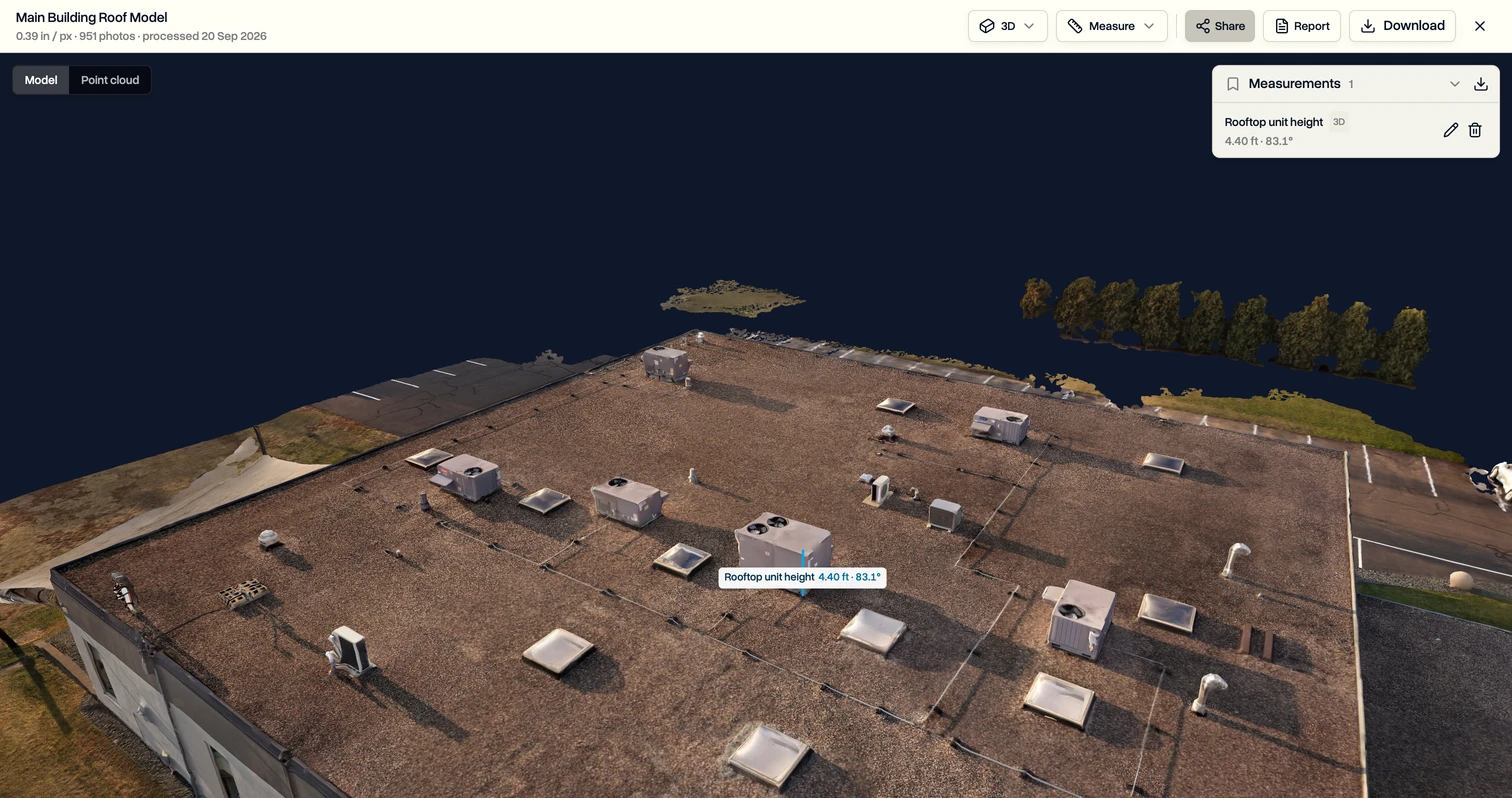
Measure on the 3D model
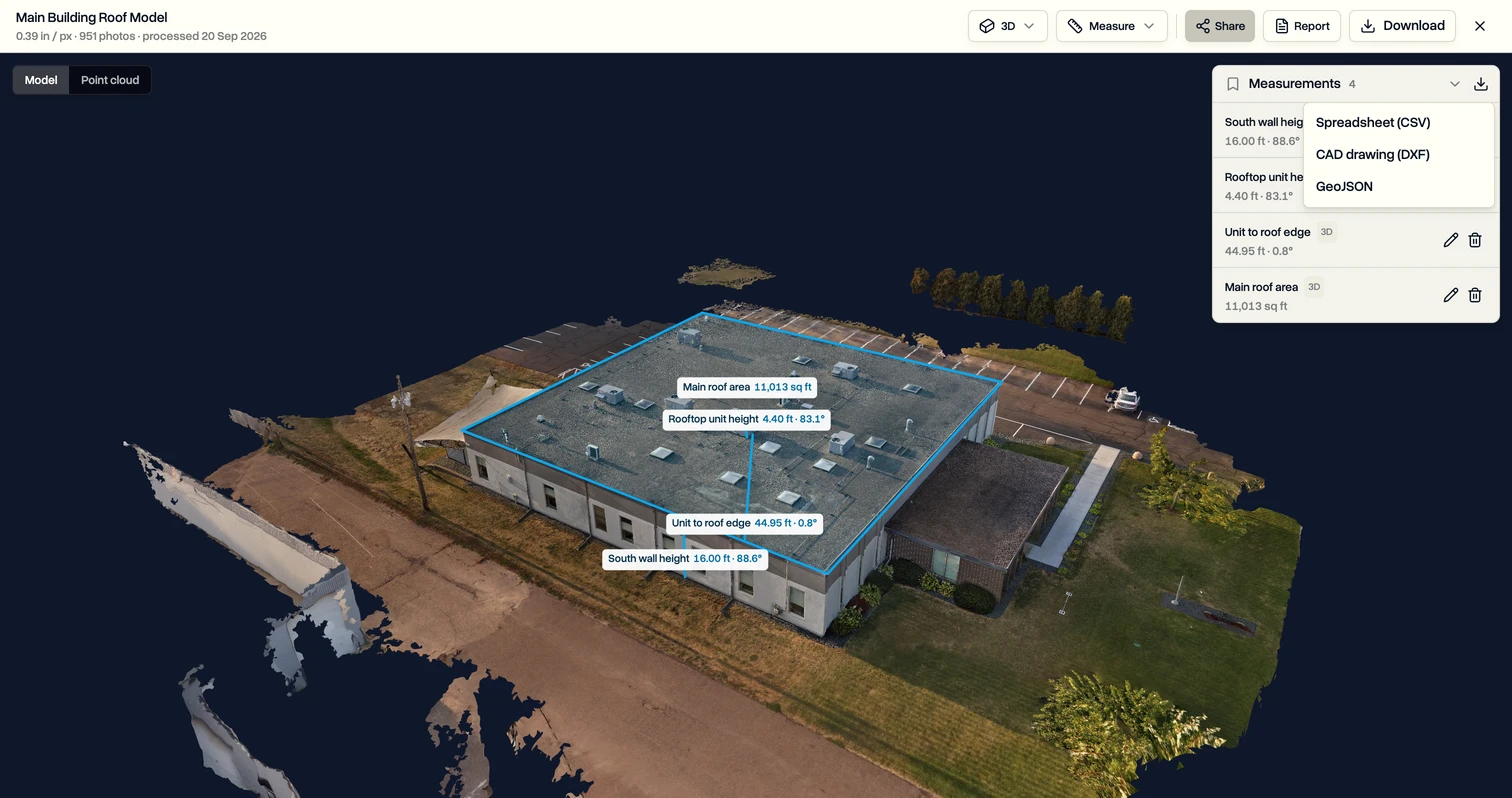
Switch the view to 3D model to measure walls, rooftop units and true heights. Measurements saved on the map show on the model too, and the other way round.
Share it with your client
- Share link: click Share this map to create a link your client opens without signing in. You choose whether downloads are allowed, and removing the link closes it straight away.
- Report: build a PDF with an overview, your findings and measurements, and your logo on Enterprise. Save the layout as a template for the next job.
- Download: measurements export as a spreadsheet (CSV), a CAD drawing (DXF) or GeoJSON.
Last updated Nov 17, 2026
Did this answer your question?
Still stuck?
Ask DroneBundle AI in the app, or email us and a person will answer.