What is a Drone-Based Digital Twin?
A drone-based digital twin is a dynamic virtual replica of a physical asset, environment, or system created primarily from aerial data captured by unmanned aircraft. These digital models combine high-resolution imagery, 3D point clouds, thermal data, and sensor information to create accurate virtual representations that update continuously, enabling predictive maintenance, operational optimization, and informed decision-making across industries.
Digital twins represent virtual replicas of physical assets, environments, or processes that update in real-time through sensor data and other inputs. These sophisticated models have transformed how organizations monitor, analyze, and optimize everything from manufacturing plants to entire cities. But creating accurate digital twins requires precise, comprehensive data collection - and drones have emerged as one of the most effective tools for this task.
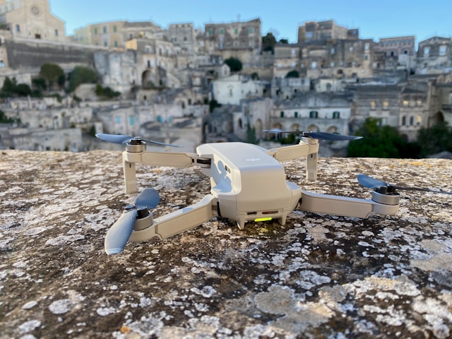
Drones capture high-resolution imagery, generate detailed 3D models, and collect sensor data from perspectives that would be impossible or prohibitively expensive through traditional methods. They fly over buildings, inspect infrastructure, survey large sites, and gather information that feeds directly into digital twin platforms. The result? Virtual models so accurate they can predict maintenance needs, optimize operations, and support critical decision-making.
This technology combination has already proven itself across industries. Construction companies use drone-generated digital twins to track project progress. Energy providers monitor wind farms and power grids through aerial data collection. City planners create virtual models of urban environments to test infrastructure changes before implementation.
The convergence of drone technology and digital twin platforms represents more than just technological advancement - it's a fundamental shift in how organizations approach asset management and operational planning.
Table of contents
- What are digital twins
- How drones collect data for digital twins
- Key technologies enabling drone-based digital twins
- Industries transforming through drone digital twins
- Planning and executing drone missions for digital twins
- Data processing workflows
- Integration with digital twin platforms
- Regulatory considerations
- Cost analysis and ROI
- Technical challenges and solutions
- Future developments
- Frequently Asked Questions
- Implementation considerations
- In summary
What are digital twins
Digital twins function as living, breathing virtual representations of physical objects or systems. Unlike static 3D models, they continuously update with real-world data, creating a dynamic mirror of their physical counterparts. Think of them as sophisticated simulations that reflect current conditions, predict future states, and enable "what-if" scenarios without real-world consequences.
The concept originated in manufacturing, where engineers needed better ways to monitor complex machinery. NASA pioneered early versions during the Apollo program, creating virtual spacecraft models to troubleshoot problems from Earth. Today's digital twins have evolved far beyond those initial applications.
Modern digital twins incorporate multiple data streams: sensor readings, visual imagery, operational parameters, and environmental conditions. They process this information through advanced algorithms to provide insights that would be impossible to derive from individual data points alone.
Three types of digital twins exist in practice:
Digital twin prototypes represent products or systems before they're built. Engineers use these models to test designs, identify potential issues, and optimize performance before physical construction begins.
Digital twin instances mirror specific, existing assets. A digital twin of a particular wind turbine, for example, reflects that turbine's unique characteristics, maintenance history, and operational patterns.
Digital twin aggregates combine multiple instances to provide system-level insights. A digital twin aggregate might represent an entire wind farm, incorporating data from individual turbines to optimize overall performance.
The value of digital twins lies in their predictive capabilities. Rather than simply monitoring current conditions, they forecast future scenarios. Maintenance teams can identify equipment likely to fail weeks before actual breakdown. Planners can test infrastructure modifications virtually before committing resources to physical changes.
How drones collect data for digital twins
Drones excel at gathering the comprehensive, high-quality data that digital twins require. Their ability to capture information from multiple angles, at various altitudes, and with different sensors makes them ideal for this application. But effective data collection requires understanding both drone capabilities and digital twin requirements.
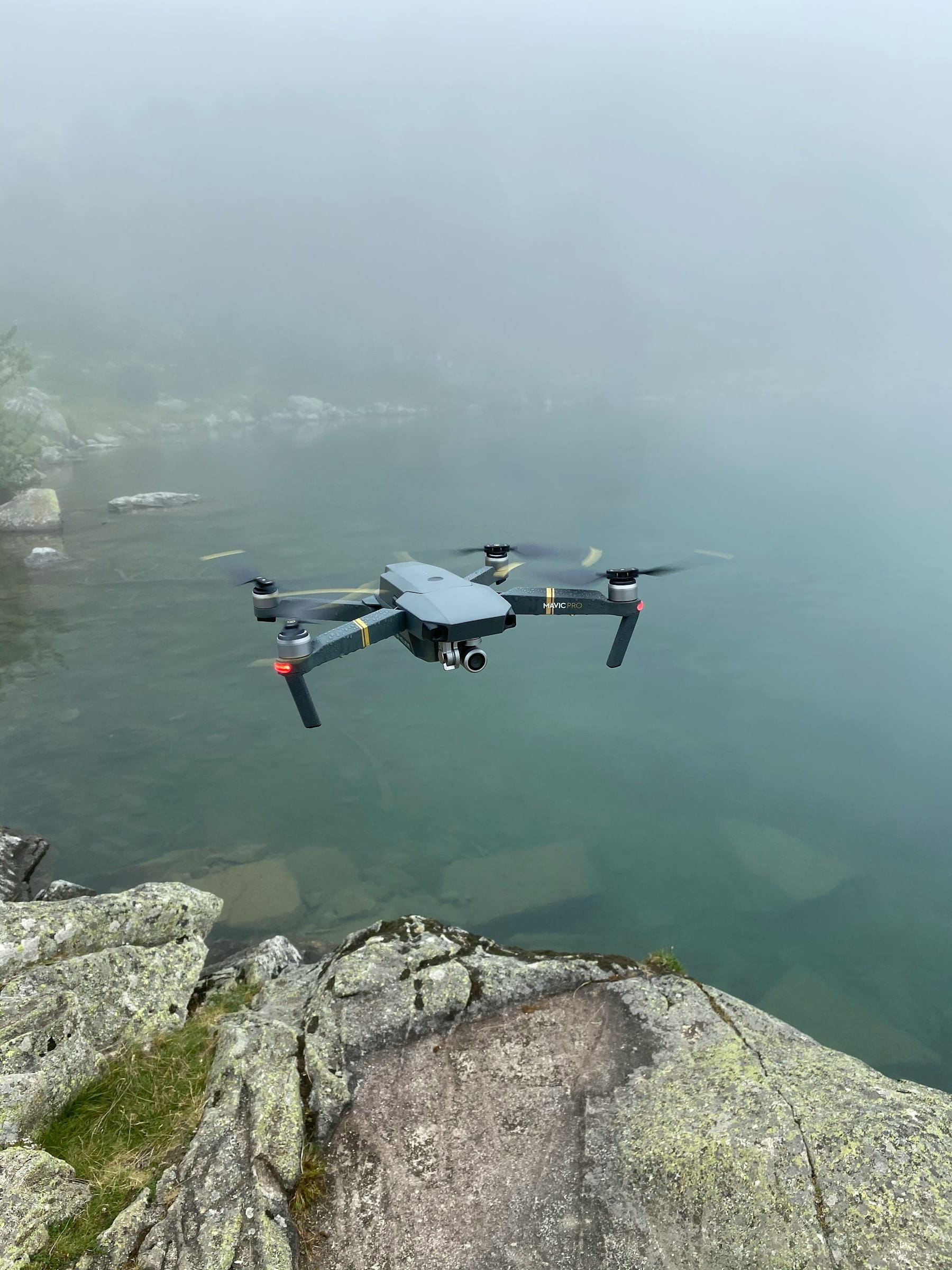
Visual data collection forms the foundation of most drone-based digital twin projects. High-resolution cameras capture detailed imagery that photogrammetry software processes into accurate 3D models. These models provide the geometric foundation upon which other data layers build.
Modern drone cameras capture imagery with remarkable precision. Professional drones equipped with full-frame sensors can detect features as small as centimeters from standard operating altitudes. Multiple images from different angles ensure complete coverage and eliminate blind spots that could compromise model accuracy.
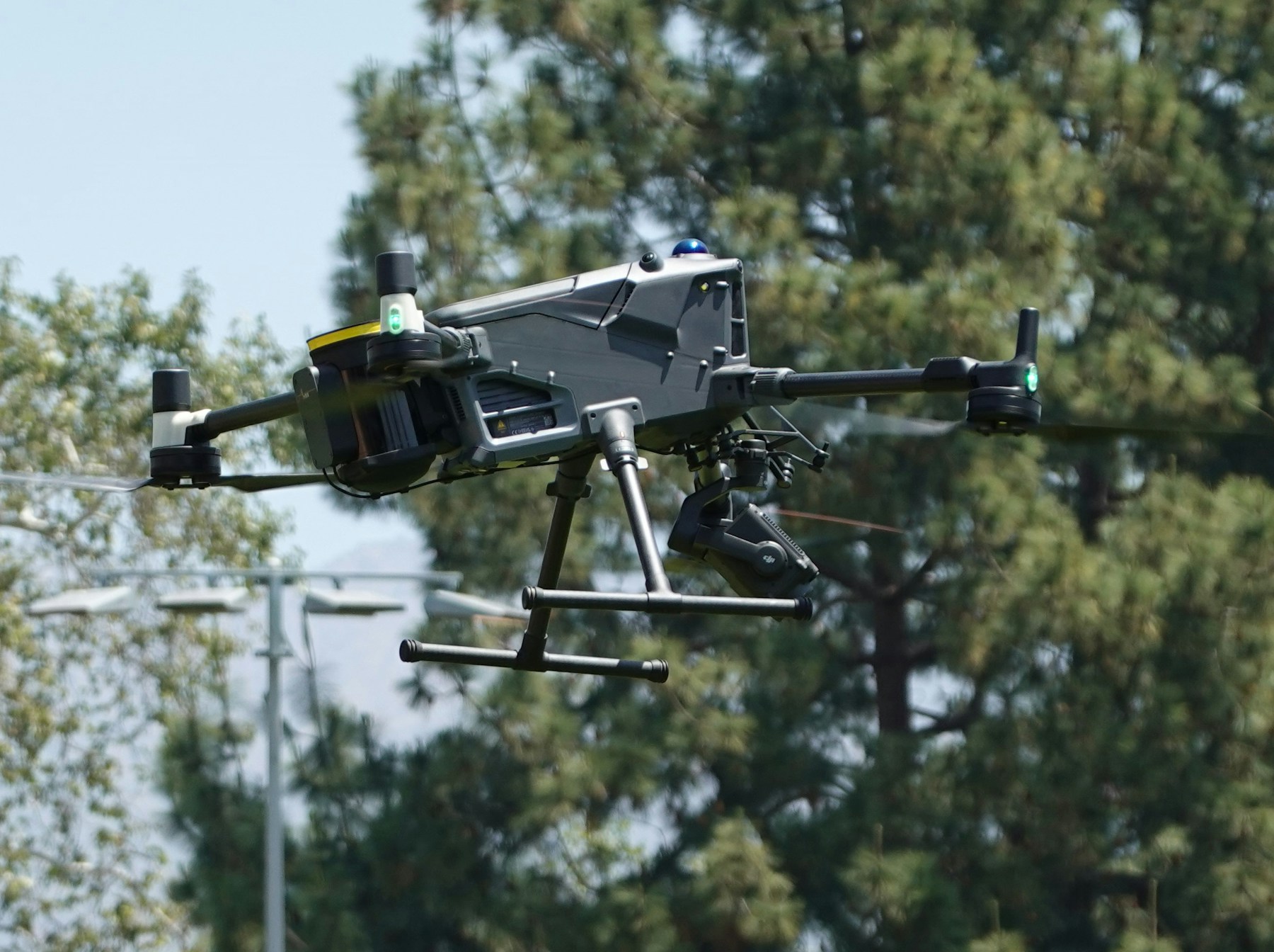
LiDAR sensors add another dimension to drone data collection. These systems emit laser pulses and measure return times to calculate precise distances, creating detailed point clouds that represent surface geometry with millimeter accuracy. LiDAR particularly excels in environments where visual methods struggle - dense vegetation, complex geometries, or low-light conditions.
Thermal sensors capture heat signatures that reveal information invisible to standard cameras. Temperature variations can indicate equipment problems, energy inefficiencies, or structural issues that warrant attention. This thermal data integrates with visual and geometric information to create comprehensive digital twins.
Multispectral and hyperspectral sensors extend data collection into wavelengths beyond human vision. These sensors prove particularly valuable for agricultural applications, environmental monitoring, and infrastructure assessment. They can detect plant health, identify material composition, and reveal subsurface conditions.
Flight patterns significantly impact data quality and completeness. Simple back-and-forth patterns work well for basic mapping, but complex assets require more sophisticated approaches. Orbital flights capture structures from multiple angles. Double-grid patterns ensure complete coverage. Facade missions focus on vertical surfaces.
The key to effective data collection lies in matching flight patterns to project requirements. A digital twin of a building's exterior might require facade flights at multiple altitudes. A construction site digital twin could need grid patterns with high overlap percentages. Industrial facilities often benefit from a combination of patterns that capture both horizontal and vertical elements.
Data collection frequency depends on the digital twin's purpose and the asset's rate of change. Construction sites might need daily or weekly flights to track rapid progress. Infrastructure monitoring could require monthly or seasonal data collection. Manufacturing facilities might need continuous or near-continuous updates.
Key technologies enabling drone-based digital twins
Several technological advances have made drone-based digital twin creation both practical and cost-effective. These technologies work together to transform raw aerial data into sophisticated virtual models that provide actionable insights.
Photogrammetry software processes overlapping drone images to create detailed 3D models and orthomosaic maps. The software identifies common features across multiple images, calculates their positions in three-dimensional space, and constructs accurate geometric representations. Modern photogrammetry tools can achieve accuracy levels within centimeters when proper ground control points are used.
The quality of photogrammetry output depends heavily on image overlap, flight altitude, and camera settings. Higher overlap percentages (typically 70-80% forward and 60% side overlap) provide more reference points for the software to work with, resulting in better model accuracy. Consistent lighting conditions and appropriate camera settings prevent exposure variations that could affect processing quality.
Real-time kinematic (RTK) GPS systems provide centimeter-level positioning accuracy that translates directly to digital twin precision. RTK-enabled drones know their exact position throughout the flight, eliminating the need for extensive ground control point surveys in many applications. This technology has significantly reduced both the time and cost required for high-accuracy mapping projects.
Ground control points still play important roles in many digital twin projects, particularly when absolute accuracy is required or when RTK systems aren't available. These precisely surveyed points provide reference coordinates that help align and scale drone-generated models with real-world coordinate systems.
Cloud computing platforms have transformed how drone data gets processed and stored. Rather than requiring powerful local computers, operators can upload raw imagery to cloud services that handle processing automatically. These platforms often provide better results than local processing while freeing up time and resources for other tasks.
Artificial intelligence and machine learning algorithms are beginning to automate many aspects of digital twin creation. AI can identify and classify objects within drone imagery, detect changes between different data collection periods, and even predict future conditions based on historical trends. These capabilities are still developing but promise to make digital twins more intelligent and useful.
Edge computing brings processing power closer to data collection points, enabling real-time analysis during drone flights. This capability allows operators to verify data quality immediately, adjust flight parameters if needed, and even perform basic processing before returning to base.
Industries transforming through drone digital twins
Construction companies have embraced drone digital twins as project management tools that provide unprecedented visibility into job sites. Daily or weekly drone flights create time-series digital twins that track construction progress, verify work quality, and identify potential issues before they become costly problems.
Construction digital twins serve multiple purposes throughout project lifecycles. During planning phases, they provide accurate baseline conditions and help identify potential obstacles. Throughout construction, they track progress against schedules and budgets. After completion, they create as-built records that support facility management and future modifications.
Earthwork calculations represent one of the most immediate benefits of construction digital twins. Drone-generated elevation models allow precise volume calculations for cut and fill operations. These calculations help optimize material usage, reduce waste, and ensure proper grading. Regular flights track earthwork progress and verify contractor measurements.
Safety improvements result from better site visibility and hazard identification. Digital twins reveal unsafe conditions, track safety equipment placement, and provide documentation for incident investigation. They also reduce the need for personnel to access dangerous areas during inspections.
Infrastructure management has found significant value in drone digital twins for monitoring bridges, roads, pipelines, and other assets. These virtual models support predictive maintenance programs, optimize inspection schedules, and provide detailed documentation of asset conditions over time.
Bridge inspections exemplify the power of drone digital twins in infrastructure management. Traditional bridge inspections require expensive equipment, road closures, and significant safety risks. Drone-based approaches capture detailed imagery and measurements without disrupting traffic or endangering personnel. The resulting digital twins support both routine condition assessment and detailed engineering analysis.
Power transmission and distribution systems benefit from drone digital twins that monitor equipment condition, vegetation encroachment, and security threats. Thermal sensors detect overheating components, while visual cameras identify structural damage or unauthorized access. These digital twins help utilities prioritize maintenance activities and prevent power outages. Professional teams use these approaches for power line inspections across extensive networks.
Pipeline monitoring through drone digital twins addresses both safety and environmental concerns. Regular flights along pipeline corridors create time-series models that detect ground movement, vegetation changes, and potential threats to pipeline integrity. Thermal sensors can identify leaks or other anomalies that warrant immediate attention.
Energy sector applications span renewable and traditional power generation. Wind farms use drone digital twins to monitor turbine condition, optimize maintenance scheduling, and assess environmental impacts. Solar installations benefit from thermal monitoring that identifies underperforming panels or electrical issues.
Oil and gas facilities employ drone digital twins for safety inspections, environmental monitoring, and operational optimization. Refineries and processing plants use these models to track equipment condition, identify leaks, and plan maintenance activities. Offshore platforms particularly benefit from drone capabilities that reduce the need for helicopter flights and personnel exposure to hazardous conditions.
Agriculture is adopting drone digital twins for precision farming applications that optimize crop production while minimizing environmental impact. These models incorporate visual, multispectral, and thermal data to assess crop health, identify pest or disease problems, and guide variable-rate application of fertilizers and pesticides.
Crop monitoring digital twins track plant development throughout growing seasons, providing farmers with detailed information about field conditions and crop performance. This information supports decisions about irrigation, fertilization, and harvest timing that can significantly impact yields and profitability.
Livestock operations use drone digital twins to monitor animal behavior, assess pasture conditions, and optimize grazing patterns. These applications require less frequent updates than crop monitoring but provide valuable insights into animal welfare and land management practices.
Planning and executing drone missions for digital twins
Effective mission planning forms the foundation of successful digital twin projects. The complexity of these missions often exceeds simple mapping flights, requiring careful consideration of data requirements, flight patterns, and environmental conditions.
Data requirements analysis should occur before any flight planning begins. Digital twin creators must understand what information the virtual model needs to provide and how that translates to drone data collection requirements. A digital twin designed to support maintenance decisions might emphasize thermal and high-resolution visual data, while one focused on security applications could prioritize wide-area coverage and real-time updates.
Accuracy requirements directly impact flight planning decisions. Projects requiring centimeter-level accuracy need lower flight altitudes, higher image overlap, and more precise navigation systems than those where meter-level accuracy suffices. Understanding these requirements upfront prevents costly re-flights and project delays.
Site analysis identifies potential obstacles, regulatory restrictions, and optimal flight parameters. Tall structures, power lines, and other obstacles affect flight path planning. Restricted airspace might limit operating altitudes or require special authorizations. Weather patterns and lighting conditions influence optimal flight times.
Flight pattern selection depends on the asset being modeled and the data requirements. Complex structures often require multiple flight patterns to ensure complete coverage. A typical building survey might combine:
- Grid patterns for roof and site mapping
- Facade flights for wall detail
- Orbital patterns for complete structure capture
- Inspection flights for specific features
Flight altitude affects both data resolution and coverage area. Lower altitudes provide higher resolution but require more images and longer flight times. Higher altitudes cover more area quickly but sacrifice detail. The optimal altitude balances resolution requirements against efficiency considerations.
Weather conditions significantly impact data quality and flight safety. High winds affect image sharpness and drone stability. Cloud cover creates inconsistent lighting that complicates photogrammetry processing. Rain and snow prevent flights entirely and can damage equipment.
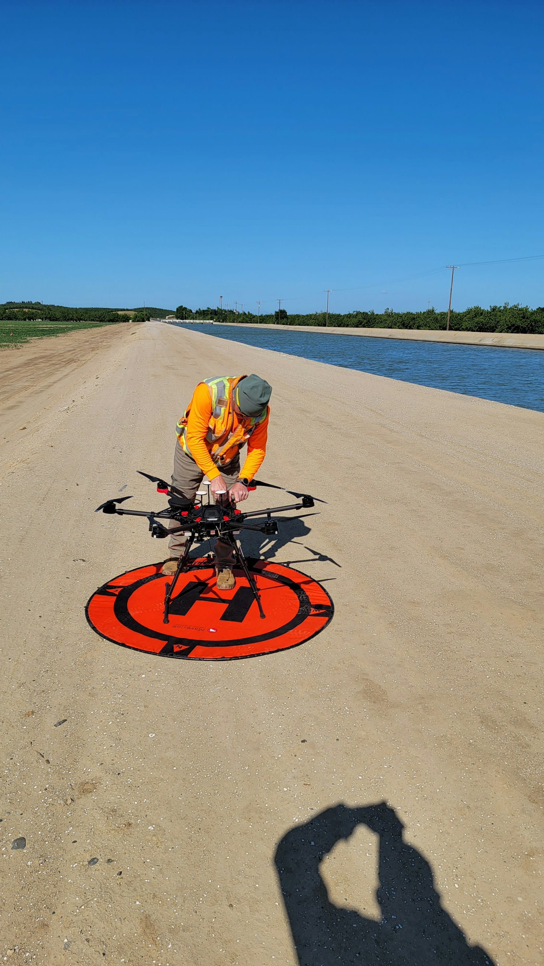
Pre-flight equipment checks prevent mission failures and ensure data quality. Camera settings, GPS accuracy, and battery levels all require verification before launch. Backup equipment should be available for critical missions where equipment failure could cause significant delays.
Mission execution requires attention to both safety and data quality objectives. Pilots must maintain visual line of sight with aircraft (unless operating under beyond visual line of sight authorization), monitor weather conditions, and adjust flight parameters as needed to maintain data quality standards.
Real-time monitoring capabilities allow operators to assess data quality during flights and make adjustments if needed. Many modern systems display image overlap percentages, GPS accuracy, and other quality metrics during missions. This information helps identify problems before they compromise final results.
Post-flight data verification should occur immediately after landing to ensure mission objectives were met. Quick reviews of image count, overlap percentages, and GPS accuracy can identify issues that might require immediate re-flights while conditions remain suitable.
Data processing workflows
Raw drone data requires significant processing to become useful digital twin inputs. These workflows have become increasingly automated but still require human oversight to ensure quality results.
Data organization represents the first step in any processing workflow. Images, GPS logs, and sensor data must be properly categorized and prepared for processing software. Consistent file naming conventions and folder structures prevent confusion and processing errors.
Quality control checks identify problems early in the workflow when they're easier to correct. Image reviews should check for proper exposure, sharp focus, and adequate overlap. GPS accuracy verification ensures positioning data meets project requirements. Identifying problems at this stage prevents wasted processing time.
Photogrammetry processing transforms overlapping images into 3D models and orthomosaic maps. Modern software has simplified this process significantly, but understanding the underlying principles helps operators achieve better results. The process typically includes:
- Image alignment and camera calibration
- Dense point cloud generation
- Mesh construction and texturing
- Orthomosaic and elevation model creation
Processing parameters affect both output quality and processing time. Higher quality settings produce better results but require significantly more computing resources and time. Understanding these trade-offs helps operators select appropriate settings for different project types.
Ground control point integration improves model accuracy and ensures proper coordinate system alignment. GCP processing requires identifying the same physical points in multiple images and providing their precise coordinates. This process can be time-consuming but provides significant accuracy improvements.
Quality assessment should occur at multiple stages throughout processing. Initial alignment checks verify that images processed correctly. Dense point cloud reviews identify gaps or artifacts that might affect final model quality. Accuracy assessments using check points provide quantitative measures of model precision.
Point cloud processing often requires additional steps beyond basic photogrammetry output. Noise filtering removes spurious points that could affect model quality. Classification algorithms identify ground points, vegetation, buildings, and other features. This processed point cloud data feeds into digital twin platforms more effectively than raw photogrammetry output.
Orthomosaic generation creates georeferenced aerial imagery that provides base layers for digital twins. These maps combine the visual information from multiple drone images into seamless, accurate representations of surveyed areas. Proper color correction and seamless blending require careful attention to lighting conditions and processing parameters.
Elevation model creation produces digital surface models (DSMs) and digital terrain models (DTMs) that represent ground and surface elevations. These models support volume calculations, flood modeling, and other analyses that require accurate elevation data. Processing parameters affect both accuracy and level of detail in these models.
Data format conversion prepares processed outputs for digital twin platform import. Different platforms require different file formats and coordinate systems. Understanding these requirements prevents compatibility issues and reduces integration time.
Integration with digital twin platforms
Digital twin platforms vary significantly in their capabilities, data requirements, and integration processes. Successful projects require careful platform selection and thorough understanding of integration requirements.
Platform selection should consider both current requirements and future needs. Some platforms excel at visualization and basic analysis, while others provide advanced simulation and predictive capabilities. Integration complexity, cost structures, and vendor support levels also influence platform choice.
Data format compatibility affects integration efficiency and ongoing operations. Platforms that accept common formats like IFC, OBJ, or point cloud standards typically integrate more easily with drone data than those requiring proprietary formats. The ISO 23247 standard provides a fundamental framework for manufacturing digital twins that supports interoperability. Understanding format requirements early prevents conversion issues later.
Coordinate system alignment ensures that drone data integrates properly with existing digital twin components. GPS coordinates, local coordinate systems, and elevation references must match between drone data and platform requirements. Misalignment issues can render digital twins inaccurate or unusable.
Metadata integration provides context that makes digital twin data more valuable. Flight dates, sensor specifications, accuracy assessments, and processing parameters help users understand data quality and limitations. This information supports better decision-making based on digital twin outputs.
Real-time data integration capabilities vary significantly between platforms. Some systems can incorporate live drone data streams for dynamic digital twins, while others work better with periodic batch updates. Understanding these capabilities helps determine optimal data collection frequencies.
Version control becomes important when digital twins incorporate time-series data from multiple drone flights. Users need to access historical versions while working with current data. Platforms handle versioning differently, and understanding these approaches prevents data management problems.
Automated processing workflows reduce the time and effort required to update digital twins with new drone data. Some platforms can automatically process uploaded drone imagery and integrate results into existing models. These capabilities significantly reduce operational overhead for organizations conducting regular drone surveys.
User access controls ensure that different stakeholders can access appropriate information while protecting sensitive data. Construction project digital twins might provide different views for owners, contractors, and regulatory agencies. Understanding platform security and access control capabilities helps ensure proper information sharing.
Regulatory considerations
Drone operations for digital twin creation must comply with aviation regulations that vary significantly between countries and regions. These requirements affect everything from pilot qualifications to operational procedures and data handling.
Pilot certification requirements depend on drone size, operating location, and mission complexity. In the United States, commercial drone operations require Part 107 certification for drones weighing less than 55 pounds. Larger drones or more complex operations might require Part 135 certification or other special authorizations.
Airspace authorization procedures vary based on operating location and flight parameters. Operations near airports require specific approvals through LAANC systems or traditional airspace authorization processes. Understanding these requirements prevents project delays and regulatory violations.
Beyond visual line of sight (BVLOS) operations enable more efficient data collection for large sites but require special authorizations in most jurisdictions. These operations typically require detailed safety analyses, observer networks, or advanced detect-and-avoid systems. The authorization process can be lengthy and complex.
Privacy regulations affect drone operations over private property and in populated areas. Different jurisdictions have varying requirements for property owner consent, data protection, and image rights. Understanding these requirements prevents legal issues and protects project stakeholders.
Data sovereignty and export control regulations can affect international projects or those involving sensitive infrastructure. Some countries restrict the export of high-resolution imagery or require local data processing. Defense-related facilities might have additional security requirements that affect drone operations.
International operations face additional regulatory complexity. Drone registration requirements, pilot qualification recognition, and operational procedures vary between countries. Projects involving cross-border operations or international teams require careful regulatory analysis.
Flight operation requirements include altitude restrictions, weather limitations, and operational procedures that ensure safe integration with manned aircraft. These requirements directly affect mission planning and may limit data collection capabilities in certain areas. Understanding different types of airspace is essential for compliance.
Record keeping and reporting requirements vary but typically include flight logs, maintenance records, and incident reports. Digital twin projects benefit from comprehensive documentation that demonstrates regulatory compliance and supports quality assurance programs.
Cost analysis and ROI
Digital twin projects involving drone data collection require careful cost analysis to ensure positive returns on investment. The global digital twin market is projected to grow from USD 24.48 billion in 2025 to USD 259.32 billion by 2032, reflecting the tremendous value organizations are finding in these technologies.
Direct costs include drone equipment, software licenses, pilot training, and operational expenses. Equipment costs vary dramatically based on platform complexity and sensor requirements. Basic mapping drones start at thousands of dollars, while advanced systems with multiple sensors can cost hundreds of thousands.
Software licensing represents an ongoing operational expense that varies based on platform capabilities and usage levels. Processing software, digital twin platforms, and data management systems all require licenses that can range from hundreds to thousands of dollars monthly.
Personnel costs include pilot training, certification maintenance, and operational time. Certified pilots command premium wages, and maintaining certifications requires ongoing training and testing. Flight operations typically require multiple personnel for safety and efficiency.
Processing and storage costs depend on data volumes and processing complexity. Cloud processing services charge based on data volumes and processing time. Storage requirements grow significantly with regular data collection, particularly for high-resolution imagery and point cloud data.
Indirect costs might include regulatory compliance activities, insurance premiums, and backup equipment requirements. Safety training, airspace authorizations, and legal compliance activities add to operational overhead.
Return on investment calculations should consider both cost savings and revenue generation opportunities. Digital twins can reduce inspection costs, prevent equipment failures, and optimize operations in ways that provide significant financial returns.
Cost avoidance represents a major benefit category for many digital twin projects. Preventing a single equipment failure or safety incident often justifies the entire program cost. Early detection of problems allows less expensive repairs and prevents secondary damage.
Operational efficiency improvements provide ongoing benefits that compound over time. Better maintenance scheduling, optimized resource allocation, and improved decision-making all contribute to bottom-line improvements that continue throughout asset lifecycles.
Risk reduction benefits can be substantial but are often difficult to quantify precisely. Better safety outcomes, regulatory compliance, and insurance benefits provide value that might not be immediately apparent in traditional cost-benefit analyses.
Revenue generation opportunities vary by industry and application. Construction companies might win more projects by demonstrating advanced monitoring capabilities. Energy companies might optimize production based on digital twin insights. Service providers might offer new consulting services based on digital twin expertise.
Scalability considerations affect long-term cost structures. Initial projects often have high per-unit costs due to learning curves and setup requirements. Mature programs typically achieve significant economies of scale that improve project economics.
Technical challenges and solutions
Creating accurate digital twins with drone data presents several technical challenges that require careful planning and execution to overcome. Understanding these challenges helps operators develop mitigation strategies and set realistic expectations.
Weather dependency affects both data collection schedules and quality outcomes. High winds, precipitation, and extreme temperatures can prevent flights or compromise data quality. Seasonal weather patterns might limit data collection to specific time periods, affecting project schedules and digital twin update frequencies.
Mitigation strategies include flexible scheduling, weather monitoring systems, and backup plans for critical projects. Some operators maintain equipment in multiple geographic locations to take advantage of better weather conditions. Real-time weather monitoring helps identify optimal flight windows.
GPS accuracy limitations can affect digital twin precision, particularly in areas with poor satellite visibility or high electromagnetic interference. Urban canyons, forest canopies, and industrial facilities often present GPS challenges that require alternative solutions.
RTK systems provide significant improvements over standard GPS but require base station infrastructure or correction service subscriptions. Post-processing kinematic (PPK) solutions offer similar accuracy benefits without real-time communication requirements. Ground control points provide backup positioning references when GPS accuracy is insufficient.
Data processing complexity increases with project size and accuracy requirements. Large sites generate enormous data volumes that strain processing systems and extend completion times. High-accuracy requirements demand more sophisticated processing techniques and quality control procedures.
Cloud processing services help manage computational requirements but introduce dependency on internet connectivity and service availability. Hybrid approaches that combine local and cloud processing provide flexibility while maintaining control over critical processes.
Sensor limitations affect the types of information that digital twins can incorporate. Standard cameras provide excellent visual information but limited spectral capabilities. Specialized sensors offer enhanced capabilities but at higher costs and operational complexity.
Multi-sensor payloads combine different sensor types on single platforms, improving data collection efficiency while adding operational complexity. Sensor fusion techniques combine data from multiple sensors to provide enhanced information beyond individual sensor capabilities.
Integration challenges arise when connecting drone data with existing digital twin platforms or enterprise systems. Data format compatibility, coordinate system alignment, and workflow integration all require careful planning and execution.
Standardization efforts are addressing some integration challenges, but the digital twin industry still lacks comprehensive standards for data exchange and platform interoperability. Organizations often need to develop custom integration solutions that work with their specific platform combinations.
Quality control procedures must address both individual dataset quality and consistency across multiple collection periods. Variations in lighting, weather, and flight parameters can affect data comparability over time.
Automated quality control tools help identify problems early in processing workflows. Statistical analysis of overlap percentages, GPS accuracy, and other quality metrics can flag potential issues before they affect final deliverables. Standard operating procedures help maintain consistency across different operators and collection periods.
Future developments
The convergence of drone technology and digital twins continues to evolve rapidly, with several emerging trends that promise to expand capabilities and applications significantly.
Artificial intelligence integration is beginning to automate many aspects of digital twin creation and analysis. Machine learning algorithms can identify and classify objects within drone imagery, detect changes between collection periods, and predict future conditions based on historical data. These capabilities will reduce the manual effort required to maintain digital twins while improving their analytical value.
Computer vision advances enable automatic feature extraction and anomaly detection that reduce human review requirements. AI systems can identify cracks in infrastructure, count inventory items, or assess vegetation health with accuracy approaching human experts. These capabilities make digital twins more valuable while reducing operational costs.
Predictive analytics based on time-series digital twin data will enable proactive maintenance and operational optimization. Machine learning models trained on historical digital twin data can forecast equipment failures, optimize maintenance schedules, and recommend operational improvements. These capabilities transform digital twins from monitoring tools into decision support systems.
Autonomous drone operations are expanding beyond simple pre-programmed flights to include adaptive mission planning and real-time decision making. Drones equipped with AI capabilities can adjust flight patterns based on environmental conditions, target specific features for detailed inspection, and optimize data collection in real-time.
Swarm operations involving multiple coordinated drones promise to revolutionize data collection efficiency for large sites or complex assets. Coordinated drone teams can collect data simultaneously from different perspectives, reducing collection time and improving coverage. Communication and coordination technologies are making these operations increasingly practical.
Sensor technology advances continue to expand the types of information that drones can collect for digital twins. Miniaturization trends are making previously specialized sensors available on smaller platforms. New sensor types provide information about material properties, chemical composition, and structural integrity that enhance digital twin capabilities.
LiDAR technology is becoming more affordable and accessible, enabling high-precision geometric data collection on platforms that previously relied only on photogrammetry. Solid-state LiDAR systems promise to reduce costs and complexity while maintaining accuracy standards.
Hyperspectral and multispectral sensors are expanding beyond agricultural applications into infrastructure inspection, environmental monitoring, and security applications. These sensors can identify material types, detect contamination, and assess structural conditions that aren't visible to standard cameras.
Edge computing developments are enabling more sophisticated onboard processing that can provide real-time analysis results and adaptive mission planning. Drones equipped with powerful edge computing systems can perform initial data processing during flights, identify areas requiring additional attention, and adjust missions accordingly.
5G connectivity promises to enable real-time data streaming from drones to digital twin platforms, creating truly dynamic virtual models that update continuously during data collection. This capability will enable new applications like real-time construction monitoring and emergency response coordination.
Digital twin platform evolution is addressing current limitations in data integration, processing capability, and user experience. Next-generation platforms promise better standardization, improved interoperability, and more sophisticated analytical capabilities.
Cloud-native architectures are improving scalability and reducing infrastructure requirements for digital twin operations. These platforms can handle larger datasets, provide better collaboration tools, and integrate more easily with enterprise systems.
Virtual and augmented reality integration will provide new ways to interact with and analyze digital twin data. These technologies can provide immersive experiences that help stakeholders better understand complex information and make more informed decisions.
Regulatory frameworks are evolving to address new capabilities and applications. Beyond visual line of sight operations, autonomous flights, and urban air mobility regulations will expand operational possibilities while maintaining safety standards.
International harmonization efforts aim to reduce regulatory barriers for cross-border operations and improve standardization across jurisdictions. These efforts will simplify international projects and enable global service providers.
Frequently Asked Questions
How accurate are drone-generated digital twins?
Drone-generated digital twins can achieve centimeter-level accuracy when using RTK GPS systems and proper ground control points. Standard photogrammetry workflows typically deliver 2-5 centimeter accuracy horizontally and 5-10 centimeter accuracy vertically. LiDAR-based systems can achieve even higher precision, with point spacing as fine as a few millimeters for close-range applications. The actual accuracy depends on flight altitude, image overlap, ground control configuration, and processing parameters.
What equipment is needed to create digital twins with drones?
Creating digital twins requires a professional-grade drone platform, appropriate sensors (camera, LiDAR, thermal, or multispectral depending on application), mission planning software, photogrammetry or point cloud processing software, and a digital twin platform for visualization and analysis. RTK/PPK systems provide enhanced accuracy. Total equipment costs range from tens of thousands for basic setups to hundreds of thousands for advanced multi-sensor configurations.
How often should digital twin data be updated?
Update frequency depends on asset change rates and monitoring objectives. Construction sites typically need weekly or even daily updates to track progress. Infrastructure assets like bridges and power lines may need quarterly or annual updates for condition monitoring. Manufacturing facilities might require near-continuous updates for process optimization. Organizations should align update frequency with decision-making cycles and asset criticality.
What industries benefit most from drone digital twins?
Construction, infrastructure management, utilities, and energy sectors see the highest ROI from drone digital twins. Construction benefits from progress tracking and earthwork calculations. Utilities use them for asset inspection and vegetation management. Energy companies monitor wind turbines, solar installations, and oil and gas facilities. Agriculture is rapidly adopting the technology for precision farming applications. The case study from OAMK demonstrates practical applications in professional training environments.
Implementation considerations
Organizations considering drone-based digital twin projects should begin with careful assessment of their requirements, capabilities, and objectives. Starting with pilot projects provides valuable experience while minimizing risks and costs.
Requirements assessment should identify specific use cases, accuracy needs, and integration requirements. Different applications have vastly different requirements for data quality, update frequency, and analytical capabilities. Understanding these requirements upfront prevents costly over-engineering or inadequate solutions.
Stakeholder analysis helps identify who will use digital twin information and how they'll interact with the data. Different user groups have different needs for visualization, analysis, and reporting capabilities. Understanding these needs early helps guide platform selection and system design.
Technology evaluation should consider both current capabilities and future growth plans. Organizations might start with basic mapping drones and simple digital twin platforms but should select solutions that can scale with expanding requirements.
Platform compatibility represents a critical consideration for organizations with existing systems or specific integration requirements. Digital twin platforms vary significantly in their ability to integrate with enterprise software, CAD systems, and other tools that organizations already use.
Pilot project selection affects both learning opportunities and stakeholder buy-in. Successful pilot projects demonstrate value while providing experience with operational procedures and technical workflows. Selecting projects with clear success metrics and visible outcomes helps build organizational support for expanded programs.
Training requirements include both technical skills and operational procedures. Drone pilots need certification and ongoing training to maintain proficiency. Data processing specialists require software training and understanding of quality control procedures. End users need training on digital twin platforms and analytical capabilities.
Budget planning should consider both initial costs and ongoing operational expenses. Equipment purchases, software licenses, training costs, and operational expenses all contribute to total program costs. Understanding these costs upfront helps secure appropriate funding and set realistic expectations.
Vendor selection involves evaluating both technical capabilities and support services. The digital twin industry includes many specialized vendors with different strengths and focus areas. Selecting vendors with relevant experience and strong support capabilities reduces implementation risks.
Regulatory compliance planning should begin early in project development. Understanding certification requirements, operational limitations, and regulatory approval processes helps prevent delays and ensures legal operation.
Implementation planning should address technical, operational, and organizational aspects of digital twin programs. Technical implementation includes equipment setup, software configuration, and integration development. Operational implementation covers procedures, training, and quality control processes. Organizational implementation addresses change management, stakeholder communication, and performance measurement.
Performance measurement frameworks help demonstrate program value and identify improvement opportunities. Metrics might include cost savings, operational efficiency improvements, safety enhancements, and user satisfaction measures. Regular performance reviews help optimize operations and justify continued investment.
Continuous improvement processes help organizations optimize their digital twin programs over time. Technology advances, operational experience, and changing requirements all provide opportunities for program enhancement. Organizations that build learning and adaptation into their programs achieve better long-term results.
In summary
Drone-based digital twins represent a powerful convergence of aerial data collection and virtual modeling technologies that is transforming how organizations manage physical assets. From construction sites and infrastructure networks to energy facilities and agricultural operations, these dynamic virtual replicas provide unprecedented visibility into real-world conditions and enable predictive insights that were previously impossible.
The technology stack enabling these capabilities has matured significantly, with photogrammetry software, RTK positioning, LiDAR sensors, and cloud processing platforms working together to create accurate, actionable digital twins. While technical challenges remain around weather dependency, GPS accuracy, and data processing complexity, proven mitigation strategies exist for each obstacle.
Organizations that successfully implement drone digital twin programs gain competitive advantages through reduced inspection costs, prevented equipment failures, optimized operations, and better-informed decision-making. As AI integration, autonomous operations, and advanced sensors continue to evolve, these advantages will only grow. The key to success lies in careful requirements analysis, appropriate technology selection, and systematic implementation that builds organizational capability over time.
Ready to Transform Your Asset Management with Drone Digital Twins?
Professional drone operations require comprehensive management platforms that support the complex workflows involved in digital twin creation. From mission planning and regulatory compliance to data organization and quality assurance, systematic approaches enable successful digital twin programs.
Start your free trial today - no credit card required.
Or book a demo to see how DroneBundle helps professional teams coordinate drone fleet operations and equipment management for comprehensive digital twin initiatives.