Drone surveying jobs combine FAA Part 107 certification with photogrammetry and GIS skills to collect aerial data for construction, land development, mining, and infrastructure projects. The average drone surveyor in the United States earns between $55,000 and $80,000 annually, with specialists in LiDAR or volumetric analysis exceeding $100,000.
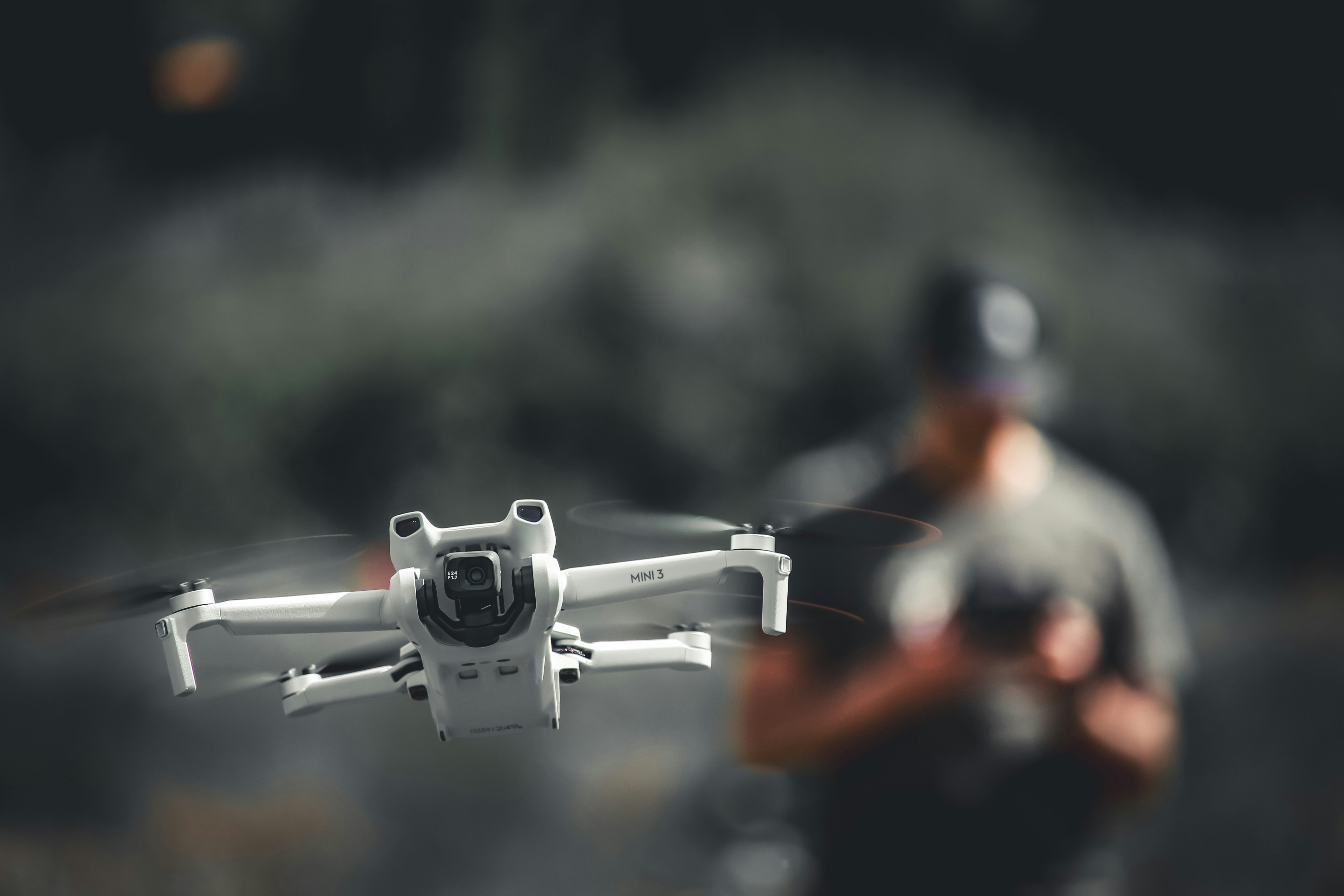
But here is the part most career guides skip: flying the drone is the easiest part of this job. What separates the surveyors who stay booked from the ones refreshing job boards is their ability to process data, deliver professional deliverables, and communicate technical findings to engineers and project managers who do not care how cool your drone is. They care about accuracy, turnaround time, and whether your data integrates with their existing workflows.
This guide covers where drone surveying jobs exist, what they pay, the skills employers screen for beyond Part 107, and practical strategies for breaking into this field.
Table of contents
- What drone surveying jobs actually involve
- Types of drone surveying positions
- Required certifications and skills
- A typical day as a drone surveyor
- Where to find drone surveying jobs
- Building a portfolio without clients
- Career progression and specialization
- Insurance and liability for freelance surveyors
- Managing surveying operations at scale
- Frequently asked questions
What drone surveying jobs actually involve
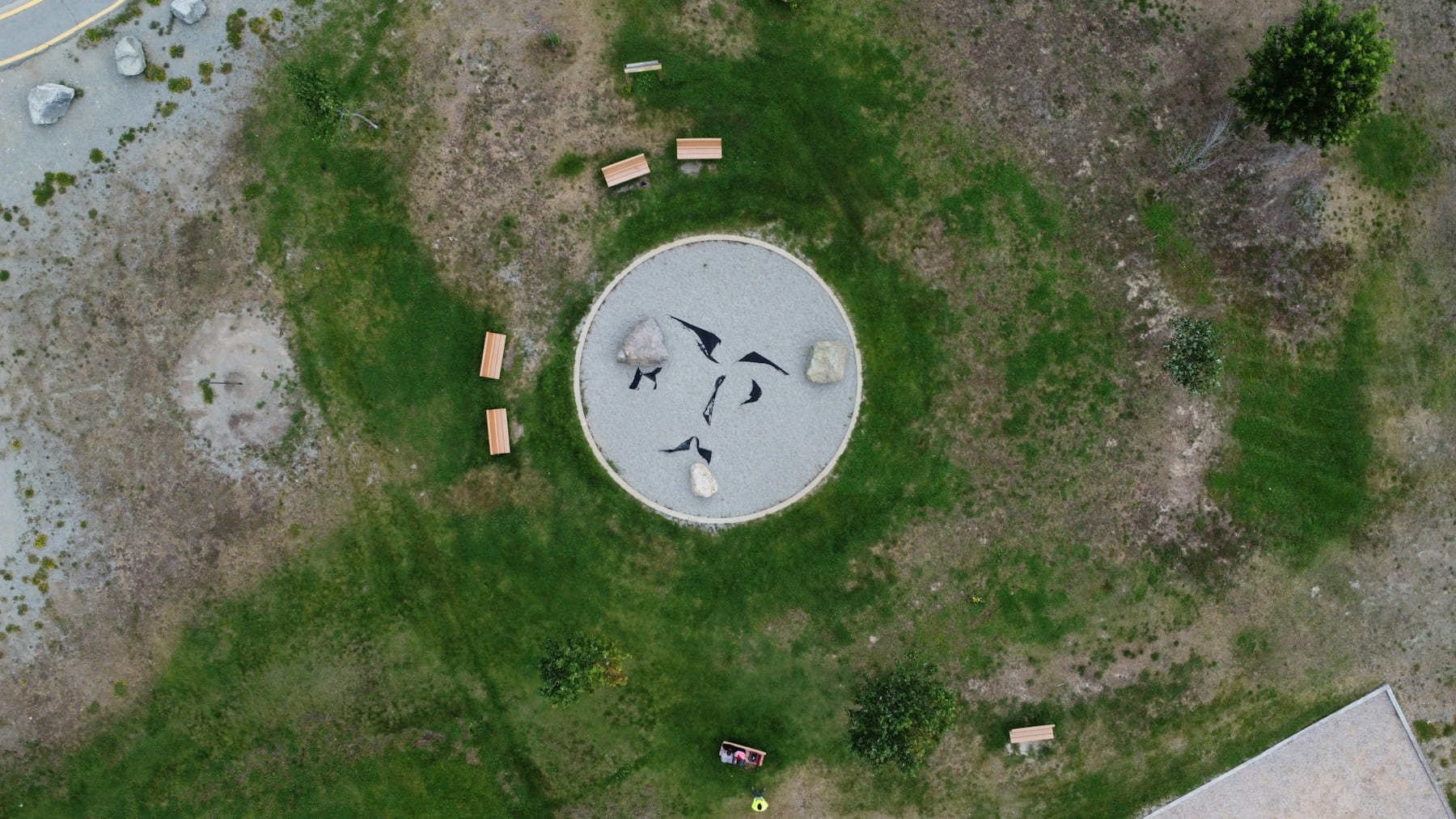
Drone surveying jobs require operators to capture georeferenced aerial data and transform it into professional deliverables such as orthomosaics, digital elevation models, 3D point clouds, and volumetric calculations. The work spans construction progress monitoring, topographic mapping, stockpile measurement, corridor surveys for utilities, and environmental baseline studies.
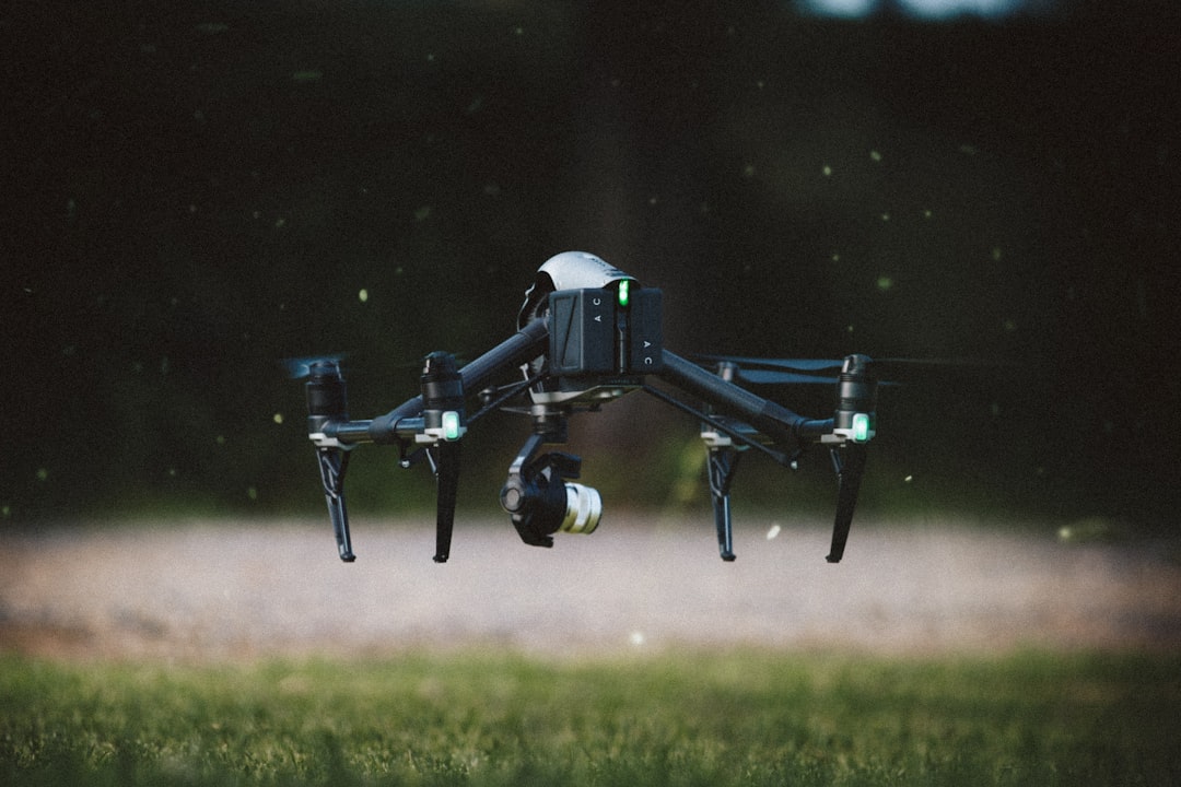
The critical distinction from general drone pilot jobs is data processing. A drone photographer delivers images. A drone surveyor delivers measurements. Clients expect centimeter-level accuracy, proper coordinate systems, and deliverables formatted for their CAD or GIS software. That means you are not just flying. You are running photogrammetry software, placing and surveying ground control points, performing quality checks, and sometimes defending your accuracy in conversations with licensed professional surveyors.
Industries driving demand for drone surveying include:
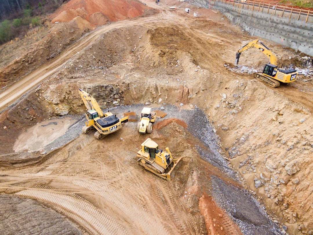
- Construction: Site grading verification, earthwork calculations, as-built documentation, and construction monitoring through project lifecycles
- Mining and aggregates: Stockpile volumetrics, pit progression tracking, and regulatory compliance reporting
- Land development: Topographic surveys for subdivision planning, stormwater modeling, and boundary context
- Utilities and energy: Power line corridor mapping, solar farm layout optimization, and pipeline route surveys
- Agriculture: Drainage analysis, field elevation mapping, and precision agriculture planning
- Environmental: Wetland delineation support, erosion monitoring, and habitat assessment mapping
Types of drone surveying positions
Drone surveying positions fall into three broad categories, each with different requirements, pay scales, and career trajectories.
Full-time employed surveyors work for engineering firms, construction companies, surveying practices, or drone service providers. These roles offer steady income, benefits, equipment provided by the employer, and structured career paths. Employers handle insurance, marketing, and client relationships. The tradeoff is less flexibility and typically lower per-project earnings than freelancers.
Freelance and contract surveyors operate independently, sourcing their own clients or subcontracting through established firms. This path offers higher earning potential per project but requires managing your own equipment, insurance, marketing, and business operations. Many successful freelancers started as employees before going independent with an established network.
Hybrid roles combine drone surveying with other responsibilities. A construction superintendent who also flies survey missions. A GIS analyst who adds drone data collection to their toolkit. A commercial drone pilot who adds surveying as a specialization. These hybrid positions are increasingly common and often pay more because the employer gets two skill sets in one hire.
Drone surveying positions pay between $36,000 at entry level and over $126,000 for senior specialists. Freelancers who price per project rather than per hour typically earn more. For a full breakdown by experience tier, specialization, employment type, and take-home math after expenses, see our dedicated drone surveying salary guide.
Required certifications and skills
An FAA Part 107 Remote Pilot Certificate is the baseline legal requirement for any commercial drone operation in the United States. The FAA's Remote Pilot certification page outlines the full application process. The knowledge test covers airspace classifications, weather, regulations, and emergency procedures. Budget two to four weeks of study to prepare.
Part 107 alone will not get you hired as a surveyor. Employers and clients expect these additional competencies:
Technical surveying skills:
- Photogrammetry processing with Pix4D, Agisoft Metashape, or DroneDeploy
- GIS proficiency with ArcGIS or QGIS for data analysis and presentation
- Understanding of coordinate reference systems, datums, and projections
- RTK and PPK positioning workflows for survey-grade accuracy
- GCP placement, surveying, and integration into photogrammetric processing
- CAD export and integration for engineering workflows
Operational competencies:
- Flight planning for systematic coverage with proper overlap settings
- Weather assessment for optimal data collection conditions
- Airspace authorization through LAANC or manual processes
- Quality control and data validation procedures
- Pre-flight checklists and safety protocols
Business and communication skills:
- Writing technical survey reports for non-technical audiences
- Understanding client requirements and translating them into flight plans
- Basic project management and deadline tracking
- Knowledge of professional surveying standards and limitations (state boundary survey laws vary significantly)
One important legal note: in most U.S. states, only licensed Professional Land Surveyors (PLS) can certify boundary surveys and certain types of topographic surveys for official use. The National Society of Professional Surveyors (NSPS) maintains resources on state-by-state licensure requirements. Drone operators who are not licensed surveyors typically work under the supervision of a PLS or focus on applications that do not require licensed surveyor sign-off, such as volumetrics, progress monitoring, and preliminary site assessment.
A typical day as a drone surveyor
The ratio in drone surveying is roughly 20% flying, 80% everything else. A typical field day on a 20-acre construction site starts with weather checks and site safety coordination, then moves to GCP deployment and GNSS surveying across the property, which is the most physically demanding phase. The actual flight takes one to two hours including battery swaps. By mid-morning you are back at your laptop running photogrammetry processing, which takes another one to three hours depending on hardware.
The afternoon is deliverables: reviewing accuracy against GCPs, generating orthomosaics and terrain models, exporting to client-specified CAD or GIS formats, and writing up the survey report. Surveyors who understand that data processing and client communication drive their career more than stick time build more successful practices.
Where to find drone surveying jobs
Drone surveying jobs rarely show up on mainstream job boards under an obvious title. Many positions are listed under adjacent titles.
Search terms that surface surveying jobs:
- "UAS technician" or "UAV technician"
- "Survey technician" with drone or UAS mentioned in the description
- "Geospatial analyst" or "GIS technician" with drone component
- "Aerial data collection specialist"
- "Remote sensing technician"
Where to look beyond job boards:
- Engineering and surveying firms: Contact local firms directly. Many add drone capabilities by hiring pilots rather than training existing surveyors. A cold email with a sample deliverable attached gets attention.
- Construction companies: Large general contractors and heavy civil firms increasingly bring surveying in-house. Check their careers pages directly.
- Drone service providers: Companies like DroneUp, Measure (now part of Skydio), and regional providers hire surveyors as W-2 employees or 1099 contractors.
- Industry associations: ASPRS and NSPS post jobs and connect members. Networking at these events leads to referrals that never hit public job boards.
- Subcontracting networks: PLS-licensed firms that lack drone capability outsource to operators who understand survey standards. Build relationships with these firms in your area.
For broader job search strategies, see our guides on entry-level drone pilot jobs and the general drone jobs landscape.
Building a portfolio without clients
Every new drone surveyor faces the same catch-22: employers want experience, but you need a job to get experience. The solution is building sample deliverables on your own.
Fly a practice project. Pick a publicly accessible area with elevation changes. Fly a proper photogrammetric survey mission and process the data into a full deliverable set: orthomosaic, DSM, DTM, contour map, and a sample cut/fill analysis. Write it up as a case study with project scope, methodology, accuracy achieved, and final deliverables. This demonstrates end-to-end capability far better than a Part 107 certificate alone.
Volunteer for real projects. Local nonprofits, historical preservation societies, and community organizations often need mapping work but cannot afford professional surveying. These projects build your portfolio with real client interactions and diverse terrain challenges.
Career progression and specialization
Drone surveying career paths typically follow a progression from general data collection toward higher-value specializations.
Years 1-2: Foundation building. Most surveyors start as field technicians flying missions planned by others. Focus on mastering data processing, understanding coordinate systems, and building a diverse portfolio of project types.
Years 3-5: Specialization. Specializing increases your value and earning potential significantly. High-demand specializations include:
- LiDAR surveying: Operating LiDAR-equipped drones for vegetation-penetrating surveys, forestry applications, and high-accuracy terrain modeling. LiDAR specialists command premium rates because the equipment is expensive and the processing requires specialized expertise.
- Volumetric analysis: Recurring stockpile measurement contracts for mines, quarries, and aggregate operations provide steady revenue streams with high margins.
- Corridor mapping: Utility and pipeline surveys covering linear assets across miles of terrain. These projects involve BVLOS considerations and complex airspace management.
- Construction monitoring: Regular site visits tied to project milestones, often bundled with orthomosaic deliverables and progress reporting dashboards.
Years 5+: Operations and leadership. Senior surveyors often transition into roles managing teams of pilots, overseeing quality control across multiple projects, or running their own drone survey businesses. This is where fleet management skills become essential.
Insurance and liability for freelance surveyors
Freelance drone surveyors need insurance beyond what hobbyists carry. The minimum is a commercial drone liability policy, typically $500 to $1,500 annually for $1 million in coverage. Many construction sites require $2 million as a condition of working on their projects.
Beyond liability, consider these coverage types:
- Hull insurance: Covers damage to your drone and sensors. RTK-equipped survey drones cost $5,000 to $20,000+, making hull coverage worthwhile. See our drone insurance cost breakdown for current rates.
- Professional liability (errors and omissions): Covers claims arising from inaccurate survey data. If a contractor moves earth based on your volumes and they are wrong, this policy protects you.
- Inland marine coverage: Protects equipment in transit between job sites.
For a comprehensive overview, read our guide on insurance and liability for commercial drone services.
Managing surveying operations at scale
Solo drone surveyors who build steady client bases eventually face a decision: stay solo and cap their income, or hire pilots and scale. Multiple pilots flying different sites need consistent data collection standards. Flight parameters, GCP placement protocols, and deliverable formats must be standardized so every project meets the same accuracy specifications regardless of who flies it.
Equipment tracking across multiple field kits requires an equipment management system. A missing GCP target at a remote site means a wasted trip if nobody tracked which kit it was packed in.
Compliance tracking becomes more complex with multiple pilots. Each pilot's Part 107 currency, recurrent training, and project-specific authorizations need monitoring. A pilot arriving at a controlled airspace site without proper LAANC authorization delays the project and damages client relationships.
Platforms like DroneBundle consolidate flight logging, pilot certification tracking, and equipment management into a single system. As your surveying and inspection operation grows, centralized management replaces the spreadsheets and email chains that worked when you were a one-person shop.
Start a free trial to see how DroneBundle handles multi-pilot surveying operations, or book a live demo to walk through the workflow with our team.
Frequently asked questions
Do I need a professional surveyor's license to do drone surveying?
In most U.S. states, you do not need a Professional Land Surveyor (PLS) license to operate the drone and collect aerial data. However, certifying boundary surveys, subdivision plats, and certain types of topographic surveys for official use requires PLS licensure. Many drone surveyors work under the supervision of a licensed PLS, or they focus on applications like volumetrics, construction monitoring, and progress documentation that do not require PLS sign-off. State laws vary significantly, so check your jurisdiction's specific requirements through your state board of licensure for surveyors.
How long does it take to get hired as a drone surveyor?
Most aspiring drone surveyors need two to six months from starting preparation to landing their first paid position. That timeline breaks down into two to four weeks for Part 107 certification, four to eight weeks to learn photogrammetry processing, and four to eight weeks of portfolio building and job searching. Candidates with existing surveying, GIS, or construction backgrounds can accelerate this significantly because employers value domain knowledge alongside piloting skill.
What equipment do I need to start a drone surveying career?
For employment positions, your employer typically provides equipment. If you are going freelance, budget approximately $8,000 to $15,000 for a capable starter kit: an RTK-equipped drone like the DJI Mavic 3 Enterprise ($4,500 to $6,500), a GNSS rover for GCP surveys ($2,000 to $5,000), GCP targets ($200 to $500), photogrammetry software licenses ($300 to $3,500/year), and field accessories. Starting with a non-RTK drone is possible but limits the accuracy you can advertise and the clients you can serve.
Is drone surveying a good career long term?
The global commercial drone market is projected to reach $54.6 billion by 2030, and surveying remains one of the highest-demand applications. Construction and infrastructure spending creates consistent demand for aerial data collection. Operators who combine flying skill with data processing expertise, GIS knowledge, and client communication build careers that are difficult to automate. The pilots at risk of replacement are those who only fly. The ones who interpret data and deliver actionable insights have strong long-term prospects.