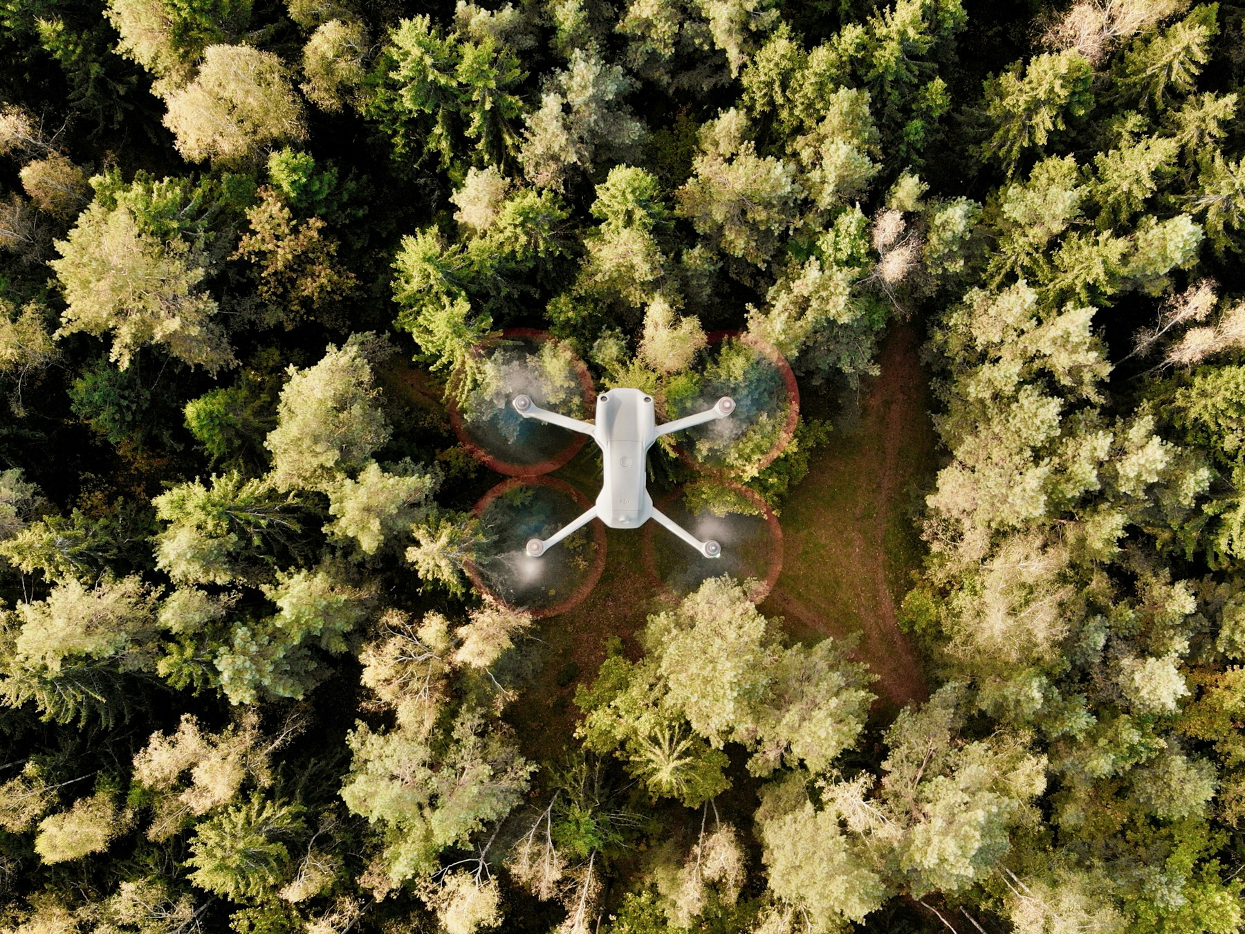
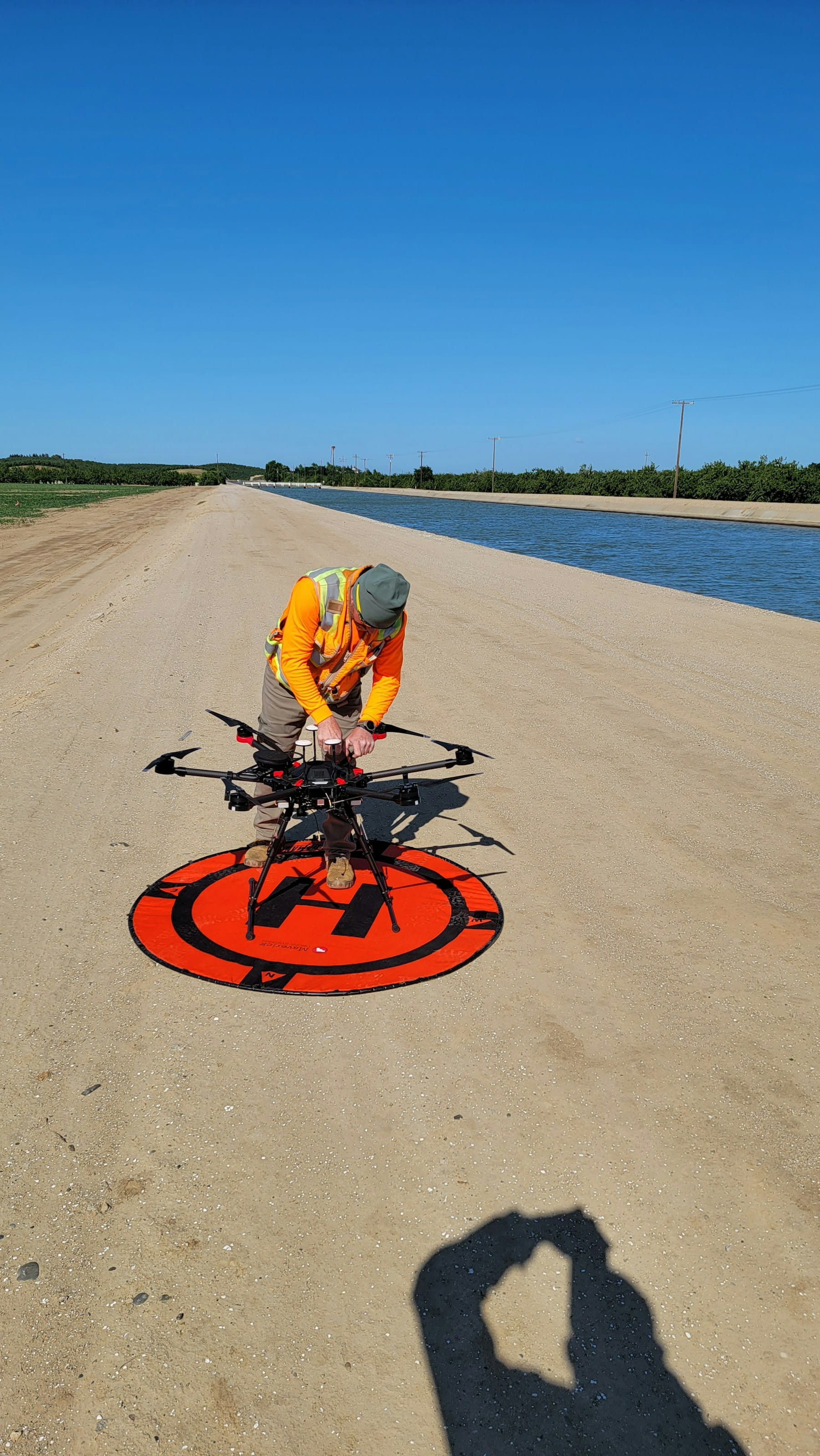
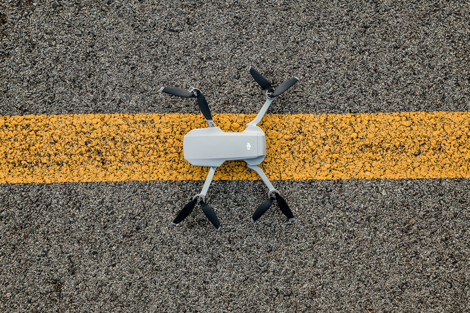
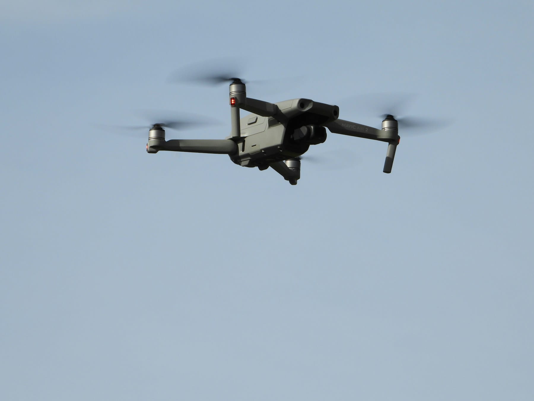
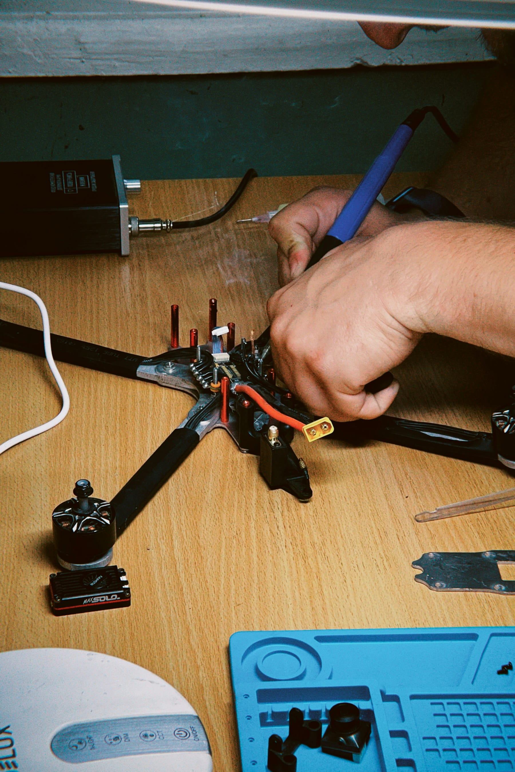
Forestry inspections with drones revolutionize forest management by providing rapid, safe, and detailed aerial surveys for early disease detection, fire risk assessment, wildlife monitoring, and precise forest inventory analysis.
Forests cover approximately 31% of our planet's land surface, serving as the backbone of countless ecosystems. Yet protecting these vital resources has always presented unique challenges for forest managers and conservationists. Traditional inspection methods require extensive manpower, consume significant time, and often fail to detect problems before they spiral into major crises.
Enter drone technology. These aerial platforms are reshaping how we monitor, inspect, and manage forests across the globe. From detecting early signs of disease to mapping biodiversity hotspots, drones offer unprecedented capabilities that traditional ground-based surveys simply cannot match.
But what makes drone-based forestry inspections so effective? And how are these systems actually being deployed in real-world scenarios?
Table of contents
- The limitations of traditional forest inspection methods
- Why drones excel in forest environments
- Key applications of drone forestry inspections
- Technology behind forest inspection drones
- Autonomous drone systems for forest monitoring
- Benefits of drone-based forest inspections
- Implementation challenges and solutions
- Real-world case studies
- Comparing drone inspections to satellite monitoring
- Future developments in forest inspection technology
- Getting started with drone forestry inspections
The limitations of traditional forest inspection methods
Ground-based forest surveys have served as the primary inspection method for decades. Teams of forestry professionals traverse vast woodland areas on foot, documenting tree health, measuring growth rates, and identifying potential threats. While thorough, this approach faces significant constraints.
Time represents the most obvious limitation. A single inspector might cover only a few hectares per day, depending on terrain difficulty and vegetation density. Large forest areas spanning thousands of hectares could require months to inspect completely. By the time a survey concludes, conditions in initially surveyed areas may have changed dramatically.
Safety concerns compound these challenges. Forest environments present numerous hazards, from unstable terrain to dangerous wildlife encounters. Weather conditions can quickly turn treacherous, stranding inspection teams far from assistance. Remote locations often lack cellular coverage, making emergency communication difficult.
Accessibility poses another major hurdle. Dense canopy cover obscures ground-level views of tree crowns, where many health problems first manifest. Steep slopes, wetlands, and thick undergrowth can make certain areas completely inaccessible to foot patrols. These "dead zones" in survey coverage create gaps where problems can develop undetected.
Data consistency also suffers with traditional methods. Different inspectors may interpret signs of disease or stress differently, leading to inconsistent documentation. Human observers can miss subtle early warning signs that automated sensors would detect reliably.
Why drones excel in forest environments
Unmanned aerial vehicles bring unique advantages to forest inspection scenarios that address many traditional limitations. Their elevated perspective provides clear views of tree canopies, revealing health issues invisible from ground level. Flight capabilities allow access to remote or dangerous areas without risking human safety.
Speed transforms inspection timelines dramatically. A drone can survey hundreds of hectares in a single day, capturing high-resolution imagery and sensor data across entire forest blocks. This rapid coverage enables more frequent monitoring cycles, catching problems before they spread.
The bird's-eye view reveals patterns invisible to ground observers. Disease outbreaks, insect infestations, and drought stress often create distinctive signatures when viewed from above. Drones can detect these patterns across large areas simultaneously, providing forest managers with comprehensive situational awareness.
Weather tolerance surpasses human capabilities in many conditions. While extreme weather grounds all operations, drones can often operate safely in rain, wind, or temperature conditions that would be uncomfortable or dangerous for human inspectors. This extended operational window allows for more flexible scheduling.
Consistency represents another key advantage. Drone sensors capture data using standardized parameters, eliminating subjective interpretation variations between different human observers. This standardization improves data quality and enables more reliable trend analysis over time.
Key applications of drone forestry inspections
Disease and pest detection
Forest diseases and insect infestations represent major threats to woodland ecosystems. Traditional detection methods rely on visible symptoms that may not appear until infestations are well-established. Drones equipped with specialized sensors can identify stress indicators much earlier.
Bark beetle infestations, particularly devastating to coniferous forests, create subtle changes in tree health that multispectral cameras can detect before visible symptoms appear. Infected trees show distinctive spectral signatures as their chlorophyll production decreases and water stress increases.
Fungal diseases produce similar early warning signs. Dutch elm disease, oak wilt, and various root rot conditions cause measurable changes in leaf chemistry and tree structure that drone sensors can quantify. Early detection allows for targeted treatment or removal before diseases spread to neighboring trees.
Fire risk assessment
Wildfire prevention requires understanding fuel loads, moisture conditions, and ignition risks across forest landscapes. Drones provide detailed data for all three factors, enabling more accurate fire behavior modeling and prevention planning.
Thermal imaging cameras identify hot spots and dry areas that present elevated fire risks. These sensors can detect temperature variations that indicate drought stress or dead vegetation, both contributing to fire danger. Night flights reveal heat retention patterns that help predict fire behavior.
LiDAR sensors measure fuel loads by creating detailed three-dimensional maps of vegetation structure. These measurements quantify available combustible material at different heights, from ground litter to canopy fuels. This data feeds directly into fire behavior prediction models.
Wildlife monitoring
Forest wildlife populations require regular monitoring to assess conservation effectiveness and ecological health. Drones provide non-intrusive observation capabilities that minimize disturbance to sensitive species while gathering detailed behavioral data. These capabilities complement broader asset inspection applications across environmental monitoring scenarios.
Thermal cameras excel at detecting mammals, even through dense canopy cover. Heat signatures reveal animal locations, group sizes, and activity patterns without requiring physical presence that might alter natural behaviors. This capability proves particularly valuable for monitoring endangered or elusive species.
Nest monitoring becomes safer and more efficient with drone platforms. Birds of prey, cavity nesters, and colonial species can be observed without human climbers or disruptive equipment installation. Regular flyovers document breeding success, chick development, and habitat usage patterns.
Forest inventory and growth measurement
Accurate forest inventory data drives management decisions, harvest planning, and carbon credit calculations. Drones provide precise measurements of tree counts, species distribution, and growth rates across large areas with minimal ground disturbance.
Photogrammetry techniques create detailed three-dimensional models of individual trees and forest stands. These models enable precise height measurements, crown diameter calculations, and volume estimates. Repeated surveys track growth rates and yield projections over time.
Species identification improves with high-resolution imagery captured during optimal seasons. Leaf characteristics, bark patterns, and crown shapes provide identification clues that automated analysis can process across thousands of trees simultaneously.
Technology behind forest inspection drones
Sensor systems
Modern forest inspection drones carry sophisticated sensor packages that capture data far beyond simple photographs. Multi-sensor platforms provide complementary information that creates comprehensive pictures of forest conditions.
RGB cameras form the foundation of most inspection systems. These high-resolution visible light sensors document current conditions, track changes over time, and provide detailed imagery for analysis. Advanced cameras capture images with sufficient resolution to identify individual leaves or bark features.
Multispectral sensors extend vision beyond human capabilities by capturing light across multiple wavelengths simultaneously. Healthy vegetation reflects light differently than stressed or diseased plants, creating distinctive spectral signatures that reveal problems invisible to standard cameras.
Thermal cameras detect temperature variations that indicate plant stress, moisture conditions, and fire risks. These sensors prove particularly valuable for night operations or detecting problems beneath dense canopy cover where visual assessment proves difficult.
LiDAR systems create precise three-dimensional maps by measuring laser pulse return times. This technology penetrates vegetation layers, revealing ground topography, tree structure, and biomass distribution with centimeter-level accuracy.
Hyperspectral sensors represent the most advanced imaging technology, capturing hundreds of narrow wavelength bands across the electromagnetic spectrum. This detailed spectral data enables precise species identification, disease detection, and chemical analysis of vegetation health.
Flight planning and navigation
Successful forest inspections require careful flight planning that balances coverage requirements with operational constraints. Modern drone platforms integrate GPS navigation, obstacle avoidance, and automated mission execution to enable complex survey patterns.
Waypoint navigation allows precise flight paths that ensure complete coverage while maintaining optimal sensor positioning. Pre-programmed routes account for terrain variations, wind conditions, and battery limitations to maximize data collection efficiency.
Terrain following capabilities maintain consistent altitude above ground level despite elevation changes. This feature proves particularly valuable in mountainous or hilly forest areas where maintaining optimal sensor distance requires constant altitude adjustments.
Obstacle avoidance systems prevent collisions with trees, power lines, or other hazards during automated flights. Advanced systems use multiple sensor types to detect and avoid obstacles in real-time, enabling safe operations in complex forest environments.
Return-to-home functionality provides safety backup for operations in remote areas. If communication is lost or battery power runs low, the drone automatically returns to its launch point using GPS navigation, preventing aircraft loss in dense forest areas.
Data processing and analysis
Raw sensor data requires processing to extract actionable information for forest managers. Modern analysis workflows combine automated processing with human expertise to generate meaningful insights from large datasets.
Image stitching creates seamless orthomosaic maps from hundreds of individual photographs. These high-resolution composites provide comprehensive views of survey areas while maintaining detail sufficient for individual tree analysis.
Classification algorithms automatically identify different vegetation types, health conditions, and land use patterns from multispectral imagery. Machine learning techniques improve accuracy over time as systems process more data from similar forest environments.
Change detection compares current survey results with historical data to identify areas of concern. Automated analysis highlights locations where conditions have changed significantly since previous inspections, directing attention to potential problems.
3D modeling converts LiDAR and photogrammetry data into detailed terrain and vegetation models. These representations enable precise measurements, volume calculations, and biomass estimates across survey areas.
Autonomous drone systems for forest monitoring
The next generation of forest inspection technology relies on autonomous systems that can operate with minimal human intervention. These platforms combine advanced AI with collaborative capabilities to provide comprehensive monitoring solutions.
Multi-drone systems coordinate multiple aircraft to survey large areas efficiently. While one drone captures broad-area imagery, others might focus on detailed inspection of identified problem areas. This coordinated approach maximizes coverage while providing targeted analysis where needed.
Automated decision-making algorithms analyze sensor data in real-time during flights. When potential problems are detected, the system can autonomously adjust mission parameters to gather additional information or mark areas for follow-up inspection.
Collaborative operations involve specialized drones working together on complex tasks. A detection drone might identify diseased trees using multispectral sensors, then communicate coordinates to a marking drone equipped with spray systems to flag affected areas for treatment.
Self-charging capabilities extend operational time through automated battery swapping or solar charging systems. These features enable multi-day surveys of remote areas without human intervention, providing continuous monitoring capabilities.
Edge computing brings analysis capabilities directly to drone platforms. Onboard processing can identify urgent situations and trigger immediate alerts, rather than waiting for data upload and analysis at remote facilities.
Benefits of drone-based forest inspections
Improved safety
Drone inspections eliminate many risks associated with traditional forest surveys. Personnel no longer need to traverse dangerous terrain, climb trees, or work in hazardous weather conditions. This safety improvement allows forest organizations to conduct more frequent inspections without increased risk exposure.
Remote areas that previously required extensive hiking or helicopter transport become easily accessible. Drones can reach locations that would be extremely dangerous or impossible for human inspectors, expanding coverage to previously neglected areas.
Emergency situations benefit from rapid drone deployment. When fires, storms, or other disasters affect forest areas, drones can quickly assess damage and identify safety hazards without putting human lives at risk.
Cost effectiveness
Operational costs decrease significantly compared to traditional inspection methods. A single drone operator can accomplish work that previously required teams of ground inspectors, reducing labor expenses while increasing productivity.
Equipment costs continue declining as drone technology matures. Professional-grade systems that cost hundreds of thousands of dollars just a few years ago are now available for tens of thousands, making the technology accessible to smaller forest management organizations.
Reduced travel expenses result from faster coverage capabilities. Instead of maintaining field camps for extended ground surveys, inspection teams can operate from central locations and cover vast areas in single day flights.
Early problem detection saves money through preventive action. Identifying disease outbreaks, pest infestations, or fire risks before they become major problems allows for targeted interventions that cost far less than dealing with widespread damage.
Enhanced data quality
Consistent data collection eliminates human observer variations. Drone sensors capture information using standardized parameters, creating reliable datasets that support accurate trend analysis and decision-making.
Higher resolution imagery provides detail levels impossible with traditional methods. Individual trees can be analyzed for specific characteristics, enabling precision management approaches tailored to local conditions.
Temporal consistency improves through regular survey schedules. Frequent drone inspections create time-series data that reveals patterns and trends invisible in sporadic ground surveys.
Objective measurements replace subjective assessments. Sensor data provides quantitative information about tree health, growth rates, and environmental conditions rather than relying on inspector opinions that may vary between individuals.
Operational efficiency
Rapid deployment allows quick response to changing conditions. When weather windows open or urgent situations develop, drones can be operational within minutes rather than the hours or days required for traditional survey mobilization.
Flexible scheduling accommodates optimal conditions for specific survey objectives. Disease detection might be best performed during certain growth stages, while fire risk assessment could be timed to drought periods.
Scalable operations adapt to project requirements. Small areas can be surveyed with basic drone systems, while extensive forests might employ multiple aircraft or advanced autonomous platforms.
Integration with existing systems allows drone data to complement other information sources. GIS databases, satellite imagery, and ground observations can be combined with drone surveys to create comprehensive forest management pictures.
Implementation challenges and solutions
Regulatory compliance
Aviation regulations vary significantly between jurisdictions and continue evolving as drone technology advances. Understanding comprehensive compliance requirements ensures all regulatory obligations are met. Forest management organizations must navigate complex regulatory environments while maintaining operational efficiency.
Pilot certification requirements may limit operational flexibility. Commercial drone operations typically require certified pilots, but training programs and simplified certification processes are expanding access to qualified operators.
Airspace restrictions can limit where and when drone operations can occur. Forest areas near airports, military installations, or urban zones may have flight restrictions that complicate survey planning.
Privacy concerns arise when drone operations occur near private property or residential areas. Clear policies and communication with affected parties help address these issues before they become operational obstacles.
Technical limitations
Weather conditions still constrain drone operations. High winds, precipitation, and extreme temperatures can ground aircraft or compromise data quality. Operational planning must account for seasonal weather patterns and maintain flexible schedules.
Battery life limits flight duration and coverage area. Current battery technology restricts most drones to flight times of 30-60 minutes, requiring careful mission planning and potentially multiple battery changes for large survey areas.
Sensor limitations affect data quality under certain conditions. Thick cloud cover can degrade optical imagery, while dense canopy cover might limit LiDAR penetration to ground level.
Data processing requirements can overwhelm organizations lacking appropriate technical infrastructure. Large datasets from drone surveys require significant computing power and storage capacity for timely analysis.
Training and expertise
Pilot training extends beyond basic flight skills to include forest-specific applications and data interpretation. Effective forest inspection requires understanding both drone technology and forestry science.
Data analysis expertise is needed to extract meaningful information from complex sensor datasets. Organizations may need to develop internal capabilities or partner with specialized service providers.
Equipment maintenance requires technical knowledge specific to drone platforms and sensor systems. Implementing comprehensive maintenance protocols ensures optimal equipment performance in demanding forest environments. Remote forest locations make equipment failures particularly problematic if repair expertise is unavailable locally.
Safety protocols must address unique risks associated with forest operations. Comprehensive risk assessment procedures help identify and mitigate hazards specific to forest environments. Dense vegetation, wildlife encounters, and remote locations create hazards that require specific preparation and response procedures.
Real-world case studies
European bark beetle management
Central European forests have faced devastating bark beetle infestations that have killed millions of trees across multiple countries. Traditional detection methods often identified infestations only after visible tree death, when intervention opportunities had passed.
A collaborative project deployed autonomous drone systems equipped with multispectral sensors to detect early-stage infestations. The detection drone surveyed forest areas at regular intervals, identifying trees showing stress indicators associated with bark beetle attacks.
When stressed trees were identified, a second drone equipped with marking systems would navigate to the location and apply paint markers to affected trees. This automated marking system enabled ground crews to locate and remove infested trees before beetles could spread to neighboring areas.
Results showed detection rates improved by 60% compared to traditional ground surveys, while response times decreased from weeks to days. The early intervention capability significantly reduced infection spread rates and associated timber losses.
North American wildfire prevention
Western North American forests face increasing wildfire risks due to climate change and historical fire suppression practices. Traditional fire risk assessment relied on periodic ground surveys supplemented by satellite data, creating gaps in current conditions awareness.
A large national park implemented comprehensive drone monitoring to assess fuel loads, moisture conditions, and ignition risks across 200,000 hectares of mixed forest. Daily flights during high-risk periods provided real-time updates on fire danger conditions.
Thermal imaging cameras identified hot spots and dry vegetation that presented elevated risks. LiDAR sensors measured fuel load distributions, while multispectral cameras assessed vegetation moisture content. This data fed directly into fire behavior prediction models used for suppression planning.
The system detected three potential fire starts during its first season, enabling rapid response that prevented major wildfires. Estimated savings in suppression costs and prevented damage exceeded the entire system implementation cost by 400%.
Tropical biodiversity monitoring
A research station in South America uses drone technology to monitor wildlife populations and habitat changes in protected rainforest areas. Traditional ground surveys proved inadequate for tracking wide-ranging species and canopy-dwelling animals across the reserve's 50,000 hectare area.
Thermal cameras mounted on quiet electric drones conduct regular wildlife surveys without disturbing sensitive species. Flight patterns are timed to animal activity cycles, maximizing detection rates while minimizing behavioral impacts.
High-resolution imagery documents nesting sites, feeding areas, and travel corridors used by endangered species. This information guides habitat management decisions and helps assess conservation program effectiveness.
Monthly surveys over three years have documented increasing populations of several target species, providing evidence that protection efforts are succeeding. The data also revealed previously unknown wildlife corridors that influenced reserve boundary recommendations.
Comparing drone inspections to satellite monitoring
Satellite imagery has long provided forest managers with broad-area monitoring capabilities, but significant limitations constrain its usefulness for detailed inspections. Understanding the complementary roles of drones and satellites helps optimize forest monitoring strategies.
Resolution differences
Satellite imagery resolution typically ranges from 1-30 meters per pixel, sufficient for detecting large-scale changes but inadequate for individual tree analysis. Commercial high-resolution satellites can achieve sub-meter resolution but at much higher costs and with limited revisit frequency.
Drone systems routinely capture imagery with resolution measured in centimeters, enabling detailed analysis of individual trees, branches, and even leaf characteristics. This resolution difference makes drones the clear choice when detailed inspections are required.
Coverage area presents the opposite trade-off. Satellites can image thousands of square kilometers in single passes, while drones typically survey areas measured in hundreds of hectares per flight. Large forest areas require multiple drone flights but can be completely imaged by satellites in single captures.
Temporal flexibility
Satellite revisit times depend on orbital patterns and weather conditions. Most satellites pass over specific locations every few days to weeks, and cloud cover can block useful imagery for extended periods during cloudy seasons.
Drones can be deployed on demand when conditions are optimal for specific survey objectives. If weather clears unexpectedly or urgent situations develop, drone operations can begin within hours rather than waiting for scheduled satellite passes.
Data quality factors
Atmospheric interference affects satellite imagery through cloud cover, haze, and atmospheric distortion. These factors can degrade image quality or make imagery completely unusable during certain conditions.
Drones operate below cloud cover and atmospheric disturbance, providing consistent image quality regardless of upper-level weather conditions. This reliability proves particularly valuable during critical monitoring periods.
Cost considerations
Satellite imagery costs vary widely depending on resolution, coverage area, and data age. Recent high-resolution imagery commands premium prices, while older or lower-resolution data may be available at reasonable costs.
Drone operations involve higher initial equipment costs but lower ongoing expenses for repeated surveys. Organizations conducting frequent monitoring often find drone systems more economical over time.
Optimal integration strategies
The most effective forest monitoring programs combine both technologies to leverage their respective strengths. Satellites provide broad-area surveillance to identify areas of interest, while drones conduct detailed inspections of specific locations requiring closer examination.
Alert systems based on satellite data can trigger automatic drone deployments to investigate detected changes. This hybrid approach maximizes coverage efficiency while providing detailed information where needed most.
Temporal analysis benefits from combining both data sources. Long-term satellite time series provide context for drone observations, while drone detail validates satellite-detected changes.
Future developments in forest inspection technology
The rapid evolution of drone technology, sensors, and artificial intelligence promises significant advances in forest inspection capabilities over the coming years. These developments will address current limitations while opening entirely new application possibilities.
Artificial intelligence integration
Machine learning algorithms are becoming sophisticated enough to automatically identify tree species, health conditions, and environmental threats from drone imagery. Current systems require human interpretation, but AI-powered analysis will eventually provide real-time identification and assessment capabilities.
Predictive modeling will advance beyond simple trend analysis to forecast future forest conditions based on current observations and environmental data. These models will help forest managers anticipate problems and implement preventive measures before damage occurs.
Behavioral pattern recognition will enable automatic wildlife monitoring without human observers. AI systems will identify individual animals, track their movements, and document behaviors relevant to conservation and management decisions.
Sensor technology advances
Next-generation hyperspectral sensors will provide chemical analysis capabilities that reveal plant nutrition, disease progression, and environmental stress at molecular levels. This detailed information will enable precision forestry management tailored to specific tree needs.
Gas detection sensors will monitor forest carbon sequestration, methane emissions, and other atmospheric interactions in real-time. This capability will support carbon credit programs and climate change research.
Sound sensors combined with AI analysis will identify pest infestations through audio signatures, detect wildlife calls for biodiversity monitoring, and assess forest health through acoustic indicators invisible to other sensor types.
Platform developments
Solar-powered drones with extended flight times will enable continuous monitoring capabilities without human intervention. These systems will provide 24/7 surveillance during critical periods such as fire season or disease outbreaks.
Swarm coordination will allow dozens of small drones to work together on complex tasks. Swarm systems will survey vast areas simultaneously while maintaining detailed coverage of specific locations requiring close attention.
Underwater drones will extend forest monitoring to wetland and riparian areas that traditional aerial platforms cannot assess effectively. These systems will monitor water quality, aquatic vegetation, and shoreline conditions affecting forest health.
Integration with other technologies
Internet of Things (IoT) sensor networks deployed throughout forests will provide continuous environmental monitoring that complements periodic drone surveys. Ground-based sensors will monitor soil conditions, microclimate variations, and other factors affecting tree health.
Automated ground vehicles will work in coordination with drone systems to provide sample collection, treatment application, and detailed ground-level inspection capabilities. These integrated systems will provide comprehensive forest management capabilities.
Satellite integration will become more seamless through standardized data formats and automated analysis workflows. Forest managers will have access to multi-scale monitoring from space-based broad area surveillance through detailed drone inspections.
Data management evolution
Cloud-based analysis platforms will process drone data automatically, providing real-time results and recommendations to forest managers. These systems will eliminate local processing requirements and provide advanced capabilities to organizations lacking technical expertise.
Blockchain technology will create secure, verifiable records of forest conditions for carbon credit programs and regulatory compliance. Immutable data records will support environmental markets and international conservation agreements.
Digital twin technology will create virtual forest models that combine drone data with growth models, weather information, and management actions. These digital representations will enable scenario planning and optimize management strategies.
Getting started with drone forestry inspections
Organizations considering drone-based forest inspections need systematic approaches to evaluate requirements, select appropriate technology, and implement effective programs. Success depends on careful planning that addresses operational needs, regulatory requirements, and organizational capabilities.
Needs assessment
Begin by identifying specific forest management challenges that drone technology might address. Different applications require different sensor types, flight capabilities, and data processing approaches. Clear problem definition guides technology selection and implementation planning.
Survey current inspection methods to identify gaps and inefficiencies that drone technology could address. Understanding existing workflows helps design drone programs that complement rather than disrupt established practices.
Evaluate coverage requirements including area size, survey frequency, and seasonal considerations. Large areas may justify sophisticated autonomous systems, while smaller areas might be adequately served by simpler platforms.
Technology selection
Match sensor requirements to specific applications. Disease detection might require multispectral capabilities, while wildlife monitoring could emphasize thermal imaging. Understanding sensor capabilities and limitations prevents costly mistakes.
Consider platform requirements including flight time, payload capacity, weather tolerance, and operational range. Forest environments present unique challenges that require robust systems designed for outdoor operations.
Evaluate automation levels based on operational requirements and available expertise. Manual operations provide maximum flexibility but require skilled pilots, while autonomous systems reduce training requirements but limit operational adaptability.
Pilot program implementation
Start with small-scale pilot projects to develop expertise and validate technology choices before major investments. Pilot programs provide opportunities to refine procedures and identify unexpected challenges in controlled settings.
Establish data processing workflows that convert raw sensor information into actionable management insights. Effective analysis capabilities are often more challenging than data collection, requiring specialized software and expertise.
Develop safety protocols specific to forest operations including emergency procedures, wildlife encounters, and equipment failures in remote locations. Comprehensive safety planning prevents incidents that could derail entire programs.
Scaling operations
Expand successful pilot programs gradually while monitoring performance and adjusting procedures based on experience. Rapid scaling often leads to problems that could be avoided through measured growth approaches.
Invest in training programs that develop internal expertise rather than relying entirely on external service providers. Long-term success requires organizational capabilities that support ongoing operations.
Plan for technology evolution by selecting systems and training approaches that can adapt to advancing capabilities. Forest management represents long-term commitments that must accommodate changing technology landscapes.
Implementation Considerations
Forest inspection programs require careful planning that addresses both technical capabilities and operational requirements. Organizations implementing drone-based monitoring benefit from understanding sensor limitations, weather constraints, and data processing requirements before deployment.
Successful programs often start with pilot projects that validate technology choices and develop internal expertise. Professional mission planning and comprehensive maintenance protocols ensure consistent operations while maintaining safety standards.
In Summary
Forest inspection with drones represents a fundamental shift toward data-driven forest management that provides unprecedented insights into ecosystem health and dynamics. The technology addresses many limitations of traditional ground-based surveys while opening new possibilities for automated monitoring and early threat detection.
Current capabilities already provide significant advantages over conventional methods, from improved safety and cost efficiency to enhanced data quality and operational flexibility. As sensor technology advances and artificial intelligence capabilities mature, drone-based forest monitoring will become even more powerful and accessible.
Organizations implementing drone forestry programs today are developing expertise and operational approaches that position them to protect and manage forest resources more effectively. The integration of aerial monitoring with traditional forest management practices creates comprehensive approaches that support sustainable forestry in an era of increasing environmental challenges.
Ready to Enhance Your Forest Management Operations?
Join forestry professionals who have transformed their monitoring capabilities through advanced drone inspection systems and comprehensive operational management. Whether you're conducting disease detection, wildlife monitoring, or forest inventory assessments, sophisticated inspection technologies enable precision results and operational excellence.
Start your free trial today — no credit card required. Or book a demo to see how DroneBundle integrates forestry workflows with mission planning, risk assessment, and maintenance tracking in a platform designed specifically for professional forest inspection operations.
